

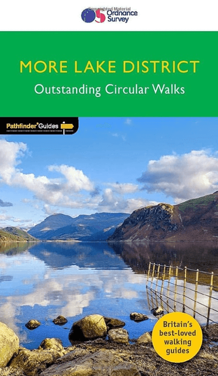
Wandelgids 022 Pathfinder guides More Lake District - OS
Cumbria - Shap Abbey - St Bees Head - Gallows hill - Isle of Man

Korte omschrijving
Wandelgidsen Cumbria & Lake District, England van Ordnance Survey. Ideaal voor tochten in England.
Wandelgids More Lake District - OS Productomschrijving: The Second Lake District title has 28 circular walks - all tried and tested by seasoned walkers. The routes range from extended strol...

Specificaties
- Uitgever: Ordnance Survey
- ISBN-13: 9780319092071
- HOOFDCATEGORIEËN: Wandelgids
- Activiteiten: Wandelen, Hiking & Trekking
- Regio: Cumbria & Lake District, England
- Land: England
- Nationale parken: Lake District NP, Cumbria England
- Taal: Engels
- Reeks/Serie: Outstanding Circular Walks, Pathfinder Series, OS
- De Nationale Parken: Lake district National Park, England
- De Engelse Graafschappen: Cumberland (Cumbria)
Volledige omschrijving
Wandelgids More Lake District - OS
Productomschrijving: The Second Lake District title has 28 circular walks - all tried and tested by seasoned walkers. The routes range from extended strolls to exhilarating hikes, meaning there is something for everyone. This guidebook includes several walks that are either on the periphery of or outside the boundaries of the national park.
There are two main reasons for this: the first is to reduce some of the pressure on the more popular parts of the Lake District, and the second is to encourage walkers to visit other areas of Cumbria were there is so much superb and varied scenery.
Walkers have the opportunity to explore the atmosphere ruins of Shap Abbey and see St Bees Head, where the cliff tops are home to nesting birds and give a grandstand view to Gallows hill, the Isle of Man, and the distant Mourne Mountains.
Overzichtskaarten

Overzicht Pathfinder guides - OS
Overzicht Pathfinder guides - OS

Producten op de overzichtskaart
Klik op een product om naar de detailpagina te gaan.
- Wandelgids 001 Pathfinder guides South Devon & Dartmoor NP - OS
- Wandelgids 003 Pathfinder guides Isle of Skye - OS
- Wandelgids 004 Pathfinder guides Cairngorms NP - OS
- Wandelgids 005 Pathfinder guides Cornwall England - OS
- Wandelgids 006 Pathfinder guides Cotswolds AONB - OS
- Wandelgids 007 Pathfinder guides Fort William & Glen Coe - OS
- Wandelgids 008 Pathfinder guides Kent - OS
- Wandelgids 009 Pathfinder guides Exmoor NP & the Quantocks - OS
- Wandelgids 010 Pathfinder guides Snowdonia NP Wales - OS
- Wandelgids 011 Pathfinder guides Dorset England - OS
- Wandelgids 012 Pathfinder New Forest & South Downs NP Hampshire
- Wandelgids 015 Pathfinder guides Yorkshire Dales NP - OS
- Wandelgids 018 Pathfinder guides Brecon Beacons Wales - OS
- Wandelgids 019 Pathfinder guides Dumfries & Galloway - OS
- Wandelgids 020 Pathfinder guides Sherwood Forest - OS
- Wandelgids 022 Pathfinder guides More Lake District - OS
- Wandelgids 023 Pathfinder guides Loch Lomond, Trossachs NP - OS
- Wandelgids 025 Pathfinder guides Thames Valley & Chilterns - OS
- Wandelgids 026 Pathfinder guides Dartmoor National Park - OS
- Wandelgids 027 Pathfinder Perthshire "big county" Angus & Five OS
- Wandelgids 028 Pathfinder guides North York Moors NP - OS
- Wandelgids 029 Pathfinder guides Wye Valley AONB & Forrest of Dean
- Wandelgids 030 Pathfinder guides Loch Ness & Iverness - OS
- Wandelgids 031 Pathfinder guides Oban, Mull & Kintyre - OS
- Wandelgids 034 Pathfinder guides Pembrokeshire Wales - OS
- Wandelgids 035 Pathfinder guides Northumberland- Scottish Borders
- Wandelgids 039 Pathfinder Durham, North Pennines & Tyne & Wear OS
- Wandelgids 041 Pathfinder guides Central Wales - OS
- Wandelgids 042 Pathfinder guides Cheshire England - OS
- Wandelgids 044 Pathfinder guides Essex England - OS
- Wandelgids 045 Pathfinder guides Norfolk - OS
- Wandelgids 046 Pathfinder guides Aberdeen & Royal Deeside - OS
- Wandelgids 047 Pathfinder Edinburgh, Pentlands & Lothians - OS
- Wandelgids 048 Pathfinder guides Suffolk East England - OS
- Wandelgids 049 Pathfinder guides Vale of York East England - OS
- Wandelgids 050 Pathfinder guides Lincolnshire & the Wolds - OS
- Wandelgids 051 Pathfinder guides Cambridgeshire & The Fens - OS
- Wandelgids 053 Pathfinder guides Lancashire NW En England - OS
- Wandelgids 054 Pathfinder guides Hertfordshire & Bedfordshire- OS
- Wandelgids 055 Pathfinder guides Gower, Swansea & Cardiff - OS
- Wandelgids 060 Pathfinder guides Lake District NP - OS
- Wandelgids 063 Pathfinder guides Peak District England - OS
- Wandelgids 064 Pathfinder guides South Pennines - OS
- Wandelgids 065 Pathfinder guides Surrey England - OS
- Wandelgids 066 Pathfinder guides West Sussex & South Downs - OS
- Wandelgids 067 Pathfinder guides South Downs NP & East Sussex- OS
- Wandelgids 068 Pathfinder guides Devon North & Mid - OS
- Wandelgids 069 Pathfinder guides South West England Coastal walks
- Wandelgids 071 Pathfinder guides High Fells of Lakeland - OS
- Wandelgids 073 Pathfinder guides More Peak District - OS
Artikelen uit dezelfde regio
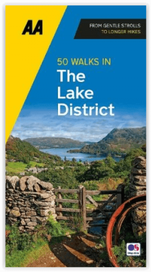
Wandelgids Lake District A 50 walks guide - AA Publishing • 9780749583255
Lake District - A 50 walks guide - AA Publishing Productomschrijving: Wandelen is een van de favoriete vrijetijdsbestedingen van Groot-Brittannië. Deze AA 50 Walks in the Lake District National Park bevat een verscheidenheid aan uitgestippelde wandelingen van twee tot tien mijl, geschikt voor alle niveaus. Het boek bevat alle praktische details die je nodig hebt, vergezeld van boeiende ach…
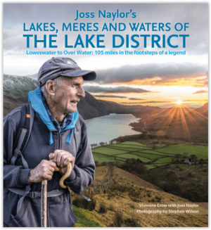
Wandelgids Lakes- Meres and Waters of the Lake District • 9781786310873
Lakes- Meres and Waters of the Lake District - CIcerone Productomschrijving: Koning van de Fells. Iron man. Lake District bergloop legende. Joss Naylor is al deze dingen en meer. Zijn prestaties zijn verbluffend, zijn records blijven de tand des tijds doorstaan. In 1983 voltooide hij de Lakes, Meres and Waters (LMW) route van 105 mijl in maar liefst 19 uur en 14 minuten en tot op de dag va…
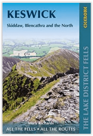
Wandelgids Lake District Fells Keswick and the North - Cicerone • 9781786310378
Wandelgids - Lake District Fells Keswick and the North - Cicerone Productomschrijving: Als deel van de Lake District Fells series, omvat deze een dikke 30 lakeland summits beklimbaar vanuit Keswick, Whinlatter, Bassenthwaite, Caldbeck, Mungrisdale & Threlkeld, met als hoogtepunten, Skiddaw & Blencathra, met langere route inbegrepen voorgesteld Product description: Part of the Walking t…

Scramblegids Lake District North 110 scrambles - Cicerone • 9781852848323
Scramblegids / Lake District North - 110 scrambles (9781852848323) Cicerone Press Productomschrijving: Gids naar 110 scramble (klauter/wandel) routes in het Engelse Lake District. Graded scrambles routes op de rotsen in ghylls Road, Ennerdale, Newlands, Buttermere, Borrowdale, Thirlmere, Patterdale, Mardale & Swindale. Routes variëren van rang 1 door rangen 2 tot en met 4, waar het gebruik…
Wandelgids Nord England Lake District & Yorkshire Dales - Rother • 9783763314522
Nord England Lake District & Yorkshire Dales - Rother Productomschrijving: Der Norden von England ist hierzulande als Ziel für einen Wanderurlaub nicht allzu bekannt, dies aber völlig zu Unrecht. Nicht umsonst gehören Lake District und Yorkshire Dales zu den bekanntesten Wanderregionen Großbritanniens und können selbst anspruchsvolle Wanderer begeistern. Doch auch hinter weniger bekannten…