Wandelgids Park Rangers Favourite Walks Lake District - Collins
20 Best routes chosen and written by National Park rangers
Korte omschrijving
Wandelgids Lake District - Collins Productomschrijving: Wandelgids over het Lake District National Park, met 20 beste routes uitgekozen door de parkwachters. Elke wandeling varieert in lengt...

Specificaties
- Uitgever: HarperCollins Publishers
- ISBN-13: 9780008439149
- HOOFDCATEGORIEËN: Wandelgids
- Activiteiten: Wandelen, Hiking & Trekking
- Regio: Cumbria & Lake District, England
- Land: England
- Nationale parken: Lake District NP, Cumbria England
- Taal: Engels
- Reeks/Serie:: Park Rangers Favourite Walks, HarperCollins
- Iconische Wandelroutes: Lake district, Cumbria England
Volledige omschrijving
Wandelgids Lake District - Collins
Productomschrijving: Wandelgids over het Lake District National Park, met 20 beste routes uitgekozen door de parkwachters. Elke wandeling varieert in lengte van 2 tot 10 km en kan in minder dan 4 uur worden afgelegd.
Engelse omschrijving: Walking guide to the Lake District National Park, with 20 best routes chosen by the park rangers. Each walk varies in length from 2 to 10 km and can be completed in less than 4 hours.
20 best routes chosen and written by National Park rangers
Walks from 2 to 10km
Detailed description for each walk with highlights clearly marked on the map along with an accompanying map and photographs
General information about the National Park plus basic advice on walking
Locatie op kaart
Artikelen uit dezelfde regio

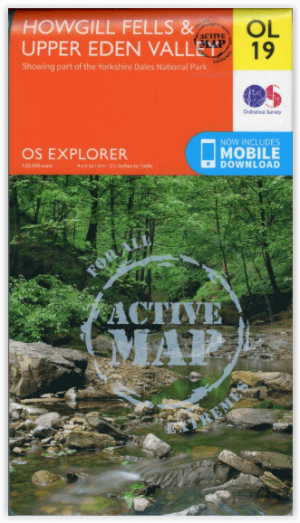
Wandelkaart OL19 Howgill Fells and Upper Eden Valley - OSI • 9780319475362
Wandelkaart Howgill Fells and Upper Eden Valley - OSI Productomschrijving: Kaart nummer OL19 in de OS Explorer serie omvat: Appleby-in-Westmorland, de Howgill Fells, Sedbergh, Upper Eden Valley en Kirkby Stephen. Hoogtepunten van het gebied zijn onder andere: Yorkshire Dales National park, North Pennines, Pennine Way, rivier Eden, Great Shunner Fell en Hardraw. National trails and …

Wandelkaart Lake District National Park XT40 - Harvey Maps • 9781851376865
Wandelkaart Lake District XT40 - Harvey Maps Productomschrijving: Een nieuwe generatie kaarten van stevig polyethyleen. Ze zijn stevig, duurzaam en 100% waterdicht, compact en licht om mee te nemen. Deze all weather Britse bergkaart voor klimmers, bergwandelaars, bergbeklimmers en mountainbikers is uitgegeven door HARVEY in samenwerking met de British Mountaineering Council. De beroemd…

Wandelgids The Pennine Way - Trailblazer • 9781912716333
The Pennine Way 420 km - Trailblazer Productomschrijving: De Pennine Way, het bekendste nationale pad van Groot-Brittannië, slingert zich 420 km over woeste heidevelden en door stille dalen langs de ruggengraat van Noord-Engeland. Het begint in Edale in het Peak District en eindigt net over de grens in Schotland bij Kirk Yetholm. Dit prachtige wandelpad doorkruist 3 nationale parken - het …

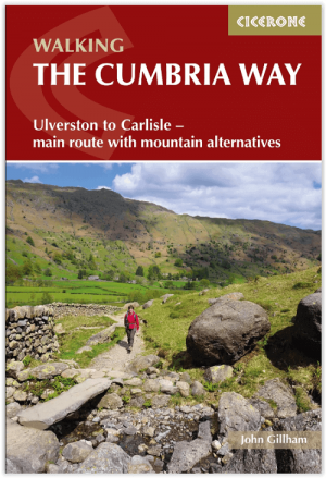
Wandelgids The Cumbria Way walking guide - Cicerone • 9781786311337
The Cumbria Way walking guide - Cicerone Productomschrijving: Een wandelgids die de zeer bekende 112 km lange Cumbria Way omvat, een gemakkelijke langeafstandswandeling door het hart van het Lake District National Park, van Ulverston in het zuiden tot Carlisle in het noorden, met goede transportverbindingen naar beide uiteinden. De route is grotendeels op laag niveau maar deze gids biedt a…

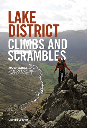
Klimgids Lake District Climbs and Scrambles - Vertebrate Publ. • 9781910240021
Lake District Climbs and Scrambles - Vertebrate Publ. Productomschrijving: Mountaineering days out on the Lakeland Fells. Lake District Climbs and Scrambles combines the best scrambles and easy climbs in the Lake District with great walking loops to give twenty superb 'mountaineering' days out. Written by local author Stephen Goodwin, the routes feature Ordnance Survey 1:25,000 maps, p…


