

Wandelkaart OL19 - Howgill Fells and Upper Eden Valley - OSI
Yorkshire Dales NP - North Pennines - Pennine Way & River Eden


Korte omschrijving
Wandelkaarten Cumbria & Lake District, England van Ordnance Survey. Ideaal voor tochten in England.
Wandelkaart Howgill Fells and Upper Eden Valley - OSI Productomschrijving: Kaart nummer OL19 in de OS Explorer serie omvat: Appleby-in-Westmorland, de Howgill Fells, Sedbergh, Upper Eden Val...

Specificaties
- Uitgever: Ordnance Survey
- ISBN-13: 9780319475362
- HOOFDCATEGORIEËN: Wandelkaart
- Activiteiten: Wandelen, Hiking & Trekking
- Regio: Cumbria & Lake District, England
- Land: England
- Waterafstotende kaart: Ordnance Survey ACTIVE Explorer Weatherproof Maps
- Nationale parken: Lake District NP, Cumbria England, Yorkshire Dales NP, England
- TOPO's & Stafkaarten: Topografisch wandelen
- AONB - Area of Outstanding Beauty/National Landscape: Northern Pennines AONB
- Schaal: 1:25000
- Taal: Engels
- Reeks/Serie: Explorer ACTIVE Series OSI
Volledige omschrijving
Wandelkaart Howgill Fells and Upper Eden Valley - OSI
Productomschrijving: Kaart nummer OL19 in de OS Explorer serie omvat: Appleby-in-Westmorland, de Howgill Fells, Sedbergh, Upper Eden Valley en Kirkby Stephen.
Hoogtepunten van het gebied zijn onder andere: Yorkshire Dales National park, North Pennines, Pennine Way, rivier Eden, Great Shunner Fell en Hardraw.
National trails and recreational paths:
1 - A Pennine Journey 2 - Dales High Way 3 - Dales Way 4 - E2 European Long distance Path 5 - Pennine Bridleway 6 - Pennine WayEngelse omschrijving: Map sheet number OL19 in the OS Explorer series covers Appleby-in-Westmorland, the Howgill Fells, Sedbergh, Upper Eden Valley and Kirkby Stephen.
Highlights of the area include: Yorkshire Dales National park, North Pennines, Pennine Way, River Eden, Great Shunner Fell and Hardraw.

Overzichtskaarten

Area's of Outstanding Natural Beauty - AONB's UK
Area's of Outstanding Natural Beauty - AONB's UK

Producten op de overzichtskaart
Klik op een product om naar de detailpagina te gaan.
- Wandelgids - Guide to the Cotswolds AONB - AA
- Wandelkaart 24 - Chilterns AONB - AA
- Wandelgids - Cotswold classic walks guidebook - Goldeneye
- Wandelgids - Cotswold Classic Walks - Goldeneye
- Wandelgids - The Cotswold Way 30 classic routes - Cicerone
- Wandelgids - North Downs Way Nat. trail - Cicerone
- Wandelgids - Chilterns walking guide - Cicerone
- Wandelgids - Suffolk coast & Heaths walks - Cicerone
- Wandelgids - North Downs Way - Map Booklet - Cicerone
- Wandelgids - North Pennines AONB walking guide - Cicerone
- Wandelgids - Forest of Bowland & Pendle - Cicerone
- Wandelgids - Hampshire's Test Way walking guide - Cicerone
- Wandelgids & Fietsgids - The Cotswold AONB - Cicerone
- Wandelgids - North Wessex Downs - Cicerone Press
- Wandelgids - Walking on the North Wessex Downs - Cicerone
- Wandelgids - Silverdale & Arnside AONB - Cicerone
- Wandelkaart OL2 - Yorkshire Dales- Southern & Western Areas - OSI
- Wandelkaart OL19 - Howgill Fells and Upper Eden Valley - OSI
- Wandelkaart OL21 - South Pennines - Yorkshire - OSI
- Wandelkaart OL31 - North Pennines- Teesdale & Weardale - OSI
- Wandelkaart OL40 - The Broads - OSI
- Wandelkaart OL41 - Forest of Bowland & Ribblesdale - OSI
- Wandelkaart OL45 - The Cotswolds AONB- Gloucestershire - OSI
- Wandelkaart 108 - Lower Tamer Valley & Plymouth- Cornwall- OSI
- Wandelkaart 115 - Exmouth & Sidmouth- Devon - OSI
- Wandelkaart 137 - Ashford- Kent downs AONB- England - OSI
- Wandelkaart 140 - Quantock Hills AONB- Somerset - OSI
- Wandelkaart 140 - Quantock Hills AONB & Bridgwater- Devon - OSI
- Wandelkaart 147 - Sevenoaks & Tonbridge- Kent - OSI
- Wandelkaart 164 - Gower AONB & Gwyr- South Wales - OSI
- Wandelkaart 164 - Gower AONB & Gwyr- Wales - OSI
- Wandelkaart 171 - Chiltern Hills West & Henley-on-Thames OSI
- Wandelkaart 171 - Chiltern Hills West AONB- Wycombe - OSI
- Wandelkaart 172 - Chiltern Hills East AONB- Wycombe - OSI
- Wandelkaart 181 - Chiltern Hills AONB North- England - OSI
- Wandelkaart 181 - Chiltern Hills North AONB- Wycombe - OSI
- Wandelkaart 190 - Malvern Hills & Bredon Hill - OSI
- Wandelkaart 190 - Malvern Hills AONB & Bredon Hill - OSI
- Wandelkaart 203 - Ludlow- Shropshire Hills AONB - OSI
- Wandelkaart 217 - Long Mynd & Wenlock Edge- Schropshire- OSI
- Wandelkaart 254 - Lleyn Peninsular East- North Wales - OSI
- Wandelkaart 261 - Boston- Lincolnshire AONB - OSI
- Wandelkaart 262 - Anglesey West- Wales AONB - OSI
- Wandelkaart 263 - Anglesey East AONB- Wales - OSI
- Wandelkaart 273 - Lincolnshire Wolds South AONB - OSI
- Wandelkaart 282 - Lincolnshire Wolds North AONB - OSI
- Wandelkaart 298 - Nidderdale AONB- Yorkshire - OSI
- Wandelkaart 298 - Nidderdale AONB North Yorkshire - OSI
- Wandelkaart 300 - Howardian Hills AONB - OSI
- Wandelkaart 300 - Howardian Hills AONB & Malton - OSI
- Wandelkaart - Mourne Mountains N. Ireland - Harvey maps
- Wandelkaart - Fietskaart Forest of Bowland - Harvey maps
- Wandelkaart XT40 - Anglesey Coastal Path N. Wales - Harvey Maps
- Wandelkaart XT40 - Pennine Way Noord - Harvey Maps
- Wandelkaart XT40 - Pennine Way Zuid - Harvey Maps
- Wandelgids Cotswold - Way Two-way trekking guide - Knife Edge
- Reisgids Cotswolds England - Rough Guides
Artikelen uit dezelfde regio

Wandelkaart Lake District South-East XT40 - Harvey Maps • 9781851376667
Wandelkaart Lake District Zuid-Oost XT40 - Harvey Maps Productomschrijving: Omvat een groot gebied maar is praktisch en compact, zakformaat. Gedetailleerde kaart voor lopers en wandelaars van de zuidoostelijke heuvels van het Lake District National Park. Op de kaart staat Lake Windermere in het midden. Inclusief Ambleside, Coniston en Kendal en het uitstekende mountainbikegebied van G…
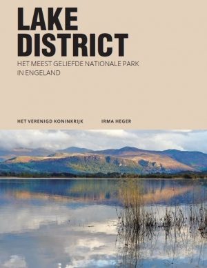
Reisgids The Lake District - Edicola • 9789492920621
Reisgids - The Lake District - Edicola Productomschrijving: Leuke wandelroutes, pittoreske dorpjes, adembenemende vergezichten, ambachtelijke etenswaren en dranken, ruige bergtoppen, sprankelende meren, watervallen en beekjes. Verken het meest populaire nationale park van Engeland, ga ‘off the beaten track’ en creëer herinneringen voor de rest van je leven. Zwemmen in een verlaten bergmeer…
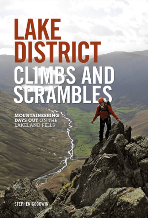
Klimgids Lake District Climbs and Scrambles - Vertebrate Publ. • 9781910240021
Lake District Climbs and Scrambles - Vertebrate Publ. Productomschrijving: Mountaineering days out on the Lakeland Fells. Lake District Climbs and Scrambles combines the best scrambles and easy climbs in the Lake District with great walking loops to give twenty superb 'mountaineering' days out. Written by local author Stephen Goodwin, the routes feature Ordnance Survey 1:25,000 maps, p…

Wandelgids Mountain Walks Helvellyn - Vertebrate Publ. • 9781839812521
Mountain Walks Helvellyn - Vertebrate Publ. Productomschrijving: 15 routes to enjoy on and around Helvellyn Mountain Walks Helvellyn by Tina Codling is a guide to walking routes to the summit of Helvellyn in the Lake District National Park. Alongside the summit routes, there are also lower-level alternatives for mixed weather or shorter days and those new to mountain walking. Amon…
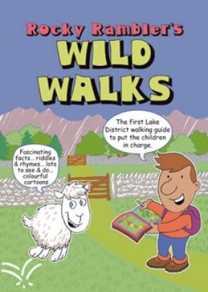
Wandelgids Rocky Rambler's wild walks - Cicerone • 9781852843472
Wandelgids - Rocky Rambler's wild walks - Cicerone Productomschrijving: Een gids over familiewandelen in het Lake District. Rocky Rambler's Wild Walks stimuleert kinderen om uit te kiezen, en de wandelingen te leiden. Gericht op kinderen van 6 tot 14 jaar, de gids bevat duidelijke instructies en heldere illustraties, die iedere wandeling gemakkelijk en leuk maakt om te volgen. 10 wandeling…