
Wandelgids Kent walking guide - Cicerone
Een wandelgids met 40 wandelingen in het graafschap Kent


Korte omschrijving
Wandelgids - Kent walking guide - Cicerone Productomschrijving: Een wandelgids met beschrijvingen van 40 wandelingen in het graafschap Kent. Met betrekking tot west Kent en de Weald en Noord...

Specificaties
- Uitgever: CICERONE Press
- ISBN-13: 9781852848620
- HOOFDCATEGORIEËN: Wandelgids
- Activiteiten: Wandelen, Hiking & Trekking
- Regio: Kent South East England
- Land: England
- AONB - Area of Outstanding Beauty: Kent Downs AONB
- Editie: 4
- Taal: Engels
Volledige omschrijving
Wandelgids - Kent walking guide - Cicerone
Productomschrijving: Een wandelgids met beschrijvingen van 40 wandelingen in het graafschap Kent. Met betrekking tot west Kent en de Weald en Noord- en Oost-Kent, met inbegrip van de Kent Downs en de Greensand hills. Wandelingen van 5 tot en met 9 mijl verkennen rivieren en kustlijn, prachtige natuur en historische dorpen. Met contouren van 11 langere wandelingen, variërend van 15 tot 163 mijl.
Engelse omschrijving: A guidebook describing 40 walks in the county of Kent. Covering west Kent and The Weald and north and east Kent, including the Kent Downs and the Greensand Hills. Walks of 5 to 9 miles explore rivers and coastline, beautiful countryside and historic villages. With outlines of 11 longer walks ranging from 15 to 163 miles.

Locatie op kaart
Overzichtskaarten

Area's of Outstanding Natural Beauty - AONB's UK
Area's of Outstanding Natural Beauty - AONB's UK

Producten op de overzichtskaart
Klik op een product om naar de detailpagina te gaan.
- Wandelgids - Guide to the Cotswolds AONB - AA
- Wandelkaart 24 - Chilterns AONB - AA
- Fietskaart- en Mtb kaart - The Cotswolds - Goldeneye
- Wandelgids - Cotswold classic walks guidebook - Goldeneye
- Wandelgids - Exploring the Cotswolds - Goldeneye
- Wandelgids - Cotswold Classic Walks - Goldeneye
- Wandelkaart - Cotswolds- Malverns & Forest of Dean - Goldeneye
- Wandelgids - The Cotswold Way 30 classic routes - Cicerone
- Wandelgids - Kent walking guide - Cicerone
- Wandelgids - North Downs Way Nat. trail - Cicerone
- Wandelgids - Chilterns walking guide - Cicerone
- Wandelgids - Suffolk coast & Heaths walks - Cicerone
- Wandelgids - North Downs Way - Map Booklet - Cicerone
- Wandelgids - North Pennines AONB walking guide - Cicerone
- Wandelgids - Ridgeway National Trail - Cicerone
- Wandelgids - Forest of Bowland & Pendle - Cicerone
- Wandelgids - Hampshire's Test Way walking guide - Cicerone
- Wandelgids & Fietsgids - The Cotswold AONB - Cicerone
- Wandelgids - Walking on the Gower - Cicerone
- Wandelgids - North Wessex Downs - Cicerone Press
- Wandelgids - Walking on the North Wessex Downs - Cicerone
- Wandelgids - Silverdale & Arnside AONB - Cicerone
- Wandelgids - North Downs Way- 246 km - Trailblazer
- Wandelkaart OL2 - Yorkshire Dales- Southern & Western Areas - OSI
- Wandelkaart OL19 - Howgill Fells and Upper Eden Valley - OSI
- Wandelkaart OL21 - South Pennines - Yorkshire - OSI
- Wandelkaart OL31 - North Pennines- Teesdale & Weardale - OSI
- Wandelkaart OL40 - The Broads - OSI
- Wandelkaart OL41 - Forest of Bowland & Ribblesdale - OSI
- Wandelkaart OL45 - The Cotswolds AONB- Gloucestershire - OSI
- Wandelkaart 108 - Lower Tamer Valley & Plymouth- Cornwall- OSI
- Wandelkaart 115 - Exmouth & Sidmouth- Devon - OSI
- Wandelkaart 137 - Ashford- Kent downs AONB- England - OSI
- Wandelkaart 140 - Quantock Hills AONB- Somerset - OSI
- Wandelkaart 140 - Quantock Hills AONB & Bridgwater- Devon - OSI
- Wandelkaart 147 - Sevenoaks & Tonbridge- Kent - OSI
- Wandelkaart 164 - Gower AONB & Gwyr- South Wales - OSI
- Wandelkaart 164 - Gower AONB & Gwyr- Wales - OSI
- Wandelkaart 171 - Chiltern Hills West & Henley-on-Thames OSI
- Wandelkaart 171 - Chiltern Hills West AONB- Wycombe - OSI
- Wandelkaart 172 - Chiltern Hills East AONB- Wycombe - OSI
- Wandelkaart 181 - Chiltern Hills AONB North- England - OSI
- Wandelkaart 181 - Chiltern Hills North AONB- Wycombe - OSI
- Wandelkaart 190 - Malvern Hills & Bredon Hill - OSI
- Wandelkaart 190 - Malvern Hills AONB & Bredon Hill - OSI
- Wandelkaart 203 - Ludlow- Shropshire Hills AONB - OSI
- Wandelkaart 217 - Long Mynd & Wenlock Edge- Schropshire- OSI
- Wandelkaart 254 - Lleyn Peninsular East- North Wales - OSI
- Wandelkaart 261 - Boston- Lincolnshire AONB - OSI
- Wandelkaart 262 - Anglesey West- Wales AONB - OSI
- Wandelkaart 263 - Anglesey East AONB- Wales - OSI
- Wandelkaart 273 - Lincolnshire Wolds South AONB - OSI
- Wandelkaart 282 - Lincolnshire Wolds North AONB - OSI
- Wandelkaart 298 - Nidderdale AONB- Yorkshire - OSI
- Wandelkaart 298 - Nidderdale AONB North Yorkshire - OSI
- Wandelkaart 300 - Howardian Hills AONB - OSI
- Wandelkaart 300 - Howardian Hills AONB & Malton - OSI
- Wandelkaart - Mourne Mountains N. Ireland - Harvey maps
- Wandelkaart - Fietskaart Forest of Bowland - Harvey maps
- Wandelkaart XT40 - Anglesey Coastal Path N. Wales - Harvey Maps
- Wandelkaart XT40 - Pennine Way Noord - Harvey Maps
- Wandelkaart XT40 - Pennine Way Zuid - Harvey Maps
- Wandelgids Cotswold - Way Two-way trekking guide - Knife Edge
- Reisgids Oxford & the Cotswolds AONB - Edicola
- Reisgids Cotswolds England - Rough Guides
- Travelguide Oxford & The Cotswolds pocket guide - Lonely Planet
- Wandelgids - The Ridgeway National trail - Trailblazer
Artikelen uit dezelfde regio

Wandelkaart 138 Dover Folkstone & Hythe Kent - OSI • 9780319243312
Wandelkaart Dover- Folkstone & Hythe - Kent - OSI Productomschrijving: Grotendeels gekend voor zijn aankomst van de ferries zoals townsend Torisson, en andere rederijen. Maar Dover is uiteraard ook een dorp, en gelegen naast Folkstone, die samen een prachtige kustlijn bevatten. 138 / Dover, Folkstone & Hythe, Kent, England - In het verre zuidoosten van Engeland op grens van Dover en F…
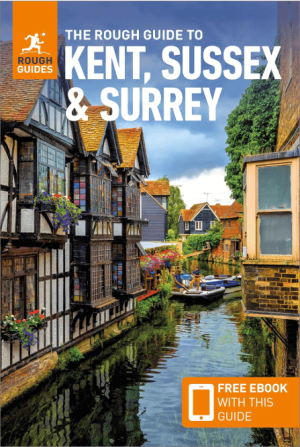
Reisgids Kent, Sussex & Surrey - Rough Guides • 9781835290088
Reisgids Kent, Sussex & Surrey Productomschrijving: The brand-new, full-colour Rough Guide to Kent, Sussex & Surrey is the ultimate guide to this beautiful corner of England, with clear maps and lively accounts of both the big cultural attractions and the smaller, quirkier sights, and full coverage of vibrant Brighton and historic Canterbury. The region is fast gaining a reputation as …
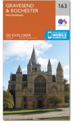
Wandelkaart 163 Gravesend & Rochester- Kent - OSI • 9780319470350
Wandelkaart Gravesend & Rochester - Kent England Omvat ook: Hoo Peninsula. Productbeschrijving: Kaart nummer 163 in de OS Explorer reeks beslaat een gebied in Noord Kent langs de monding van de rivier de Thaims. Ontdek een deel van de Kent Downs AONB door van de Wealdway en North Downs Way, round Gravesend en Rochester te wandelen. Andere hoogtepunten van het gebied zijn: Gillingham, C…

Wandelkaart 150 Canterbury & Isle of Thanet Kent - OSI • 9780319470220
Wandelkaart Canterbury & Isle of Thanet - Kent England Omvat ook: Herne Bay, Deal & Whitstable. Productbeschrijving: Kaart nummer 150 in de OS Explorer kaarten reeks heeft betrekking op de historische stad Canterbury en de Isle of Thanet, Herne Bay, Deal, Margate, Broadstairs, Sandwich, Fordwich en Whitstable. Hoogtepunten van het gebied zijn onder andere: een deel van de Kent Downs AO…
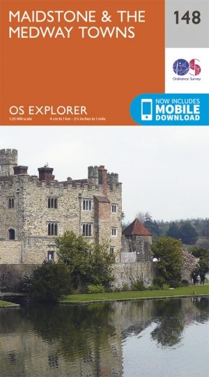
Wandelkaart 148 Maidstone & Medway Towns Kent - OSI • 9780319243411
Wandelkaart Maidstone & Medway Towns - Kent England Productomschrijving: Kaart nummer 148 in de OS Explorer kaarten reeks heeft een oppervlakte die zich uitstrekt van Yalding in het zuiden van Rochester tot Red Wings in het noorden. Het historische deel van Kent bevat de Kent Downs, een Area of Outstanding Natural Beauty. Op deze kaart staat ook de Greensand way, Medway Valley Walk, North …