

Reisgids Kent, Sussex & Surrey - Rough Guides
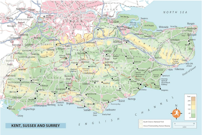
Brighton - Canterbury - Hastings - South Downs - Kent

Korte omschrijving
Reisgidsen Kent South East England, Surrey South England en Sussex, England van Rough Guides. Ideaal voor tochten in England.
Reisgids Kent, Sussex & Surrey Productomschrijving: The brand-new, full-colour Rough Guide to Kent, Sussex & Surrey is the ultimate guide to this beautiful corner of England, with clear maps...

Specificaties
- Uitgever: Rough Guides
- ISBN-13: 9781835290088
- HOOFDCATEGORIEËN: Reisgids
- Activiteiten: Toerisme
- Regio: Kent South East England, Surrey South England, Sussex, England
- Land: England
- Editie: 4
- Taal: Engels
- Reeks/Serie: Rough Guides Main, Rough Guides Mini
- De Engelse Graafschappen: East Sussex, Kent, Surrey, West Sussex
Volledige omschrijving
Reisgids Kent, Sussex & Surrey
Productomschrijving: The brand-new, full-colour Rough Guide to Kent, Sussex & Surrey is the ultimate guide to this beautiful corner of England, with clear maps and lively accounts of both the big cultural attractions and the smaller, quirkier sights, and full coverage of vibrant Brighton and historic Canterbury.
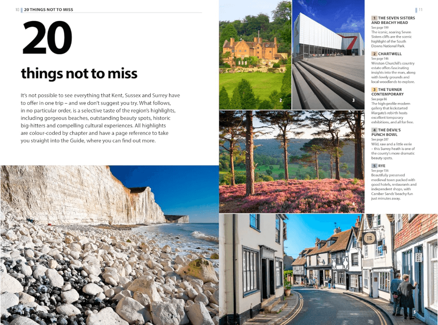
The region is fast gaining a reputation as a foodie hotspot, and the guide offers detailed reviews of the best places to eat, from old-world tearooms to Michelin-starred restaurants. Also included is accommodation for all budgets – from country-house hotels to cozy b&b’s and idyllic campsites – as well as the best places to drink, featuring the best village pubs, plus the region’s celebrated wineries. Find details on a host of local festivals and events, from Lewes’ raucous Bonfire Night to Hastings’ popular Pirate’s Day, as well as ideas on outdoor activities, from paragliding in the South Downs to canoeing Kent’s waterways, with plenty of scenic walks too. Written by local experts, this is an indispensable guide to a region that’s ripe for exploring.
Artikelen uit dezelfde regio

Wandelkaart OL33 Haslemere & Petersfield - OS • 9780319242728
Wandelkaart Haslemere & Petersfield - OS Productomschrijving: Haslemere, Petersfield, Midhurt & Selborne. Omvat: Haslemere, Petersfield, Midhurst and Selborne, South Downs National Park, Surrey Hills and the Sussex Border Path, Greensand Way, Hangers Way, the River Rother and New Lipchis Way Ontdek de OL-serie van Ordnance Survey: De OL-serie (Outdoor Leisure) van Ordnance Surve…
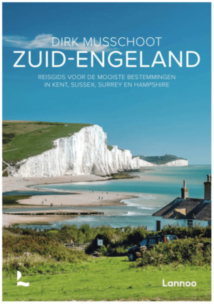
Reisgids Zuid-Engeland - Uitgeverij Lannoo • 9789059960978
Reisgids Zuid-Engeland - Lannoo Productomschrijving: Engelandkenner Dirk Musschoot laat je op een onovertroffen wijze kennismaken met de regio's Kent, East en West Sussex, Surrey, Hampshire en het eiland Wight, en de bestemmingen die je daar absoluut niet mag missen. Enkele voorbeelden: de optrekjes van Charles Darwin, Winston Churchill en Rudyard Kipling, de imposante kliffen van Beac…

Wandelgids North Downs Way - Trailblazer Publications • 9781912716500
Wandelgids North Downs Way - Trailblazer Productomschrijving: The North Downs Way, from Farnham to Dover is a 131-mile (211km) National Trail. (British Walking Guide) 84 trail maps 16 town plans 50 colour photos 120mm x 180mm, 5" x 7" The North Downs Way, a 131-mile (211km) National Trail runs from Farnham in Surrey to Dover in Kent via Canterbury, winding its way through…

Wandelkaart 138 Dover Folkstone & Hythe Kent - OSI • 9780319243312
Wandelkaart Dover- Folkstone & Hythe - Kent - OSI Productomschrijving: Grotendeels gekend voor zijn aankomst van de ferries zoals townsend Torisson, en andere rederijen. Maar Dover is uiteraard ook een dorp, en gelegen naast Folkstone, die samen een prachtige kustlijn bevatten. 138 / Dover, Folkstone & Hythe, Kent, England - In het verre zuidoosten van Engeland op grens van Dover en F…
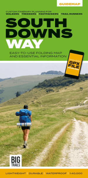
Wandelkaart South Downs Way - Vertebrate Publ. • 9781839810305
Wandelkaart South Downs Way - Vertebrate Productomschrijving: Easy-to-use folding map and essential information, with custom itinerary planning for walkers, trekkers, fastpackers and trail runners The South Downs Way Guidemap from Vertebrate Publishing is a lightweight, waterproof, durable and easy-to-use folding map with 1:40,000-scale mapping for the linear SDW route. Includes an elevati…