

HOOFDCATEGORIEËN
Uitgever:
Reeks/Serie:
Land
Regio
Schaal
Taal
De Scandinavische Landen
Nationale parken
Uitgever


 Wegenkaart Engeland Zuid
Ontdek Cornwall, Devon en de Jurassic Coast,
Een wegenkaart van Zuid-Engeland is dé sleutel tot een roadtrip vol ruige kliffen, zandstranden en charmante dorpen. Verken Cornwall en Devon, bekend om hun kustwegen en verborgen baaien, of rijd langs de iconische Jurassic Coast tussen Exmouth en Swanage. Met een gedetailleerde wegenkaart van Zuid-Engeland mis je geen enkel uitzichtpunt, omweg of binnenweggetje. Waar GPS faalt, biedt een papieren kaart overzicht en vrijheid.
Topuitgevers zoals Ordnance Survey en A-Z brengen kaarten uit die naast de hoofdwegen ook wandelpaden, scenic routes en toeristische trekpleisters tonen. Ideaal voor wie met de auto, camper of motor het zuiden van Engeland wil verkennen. Bibliotrek.be biedt een zorgvuldig geselecteerd aanbod wegenkaarten voor Zuid-Engeland, van kustlijnen tot landelijke routes in Somerset of Dorset.
Of je nu de ruïnes van Tintagel Castle bezoekt of de kliffen van Land’s End wil trotseren: een wegenkaart leidt je naar plekken die digitale navigatie vaak overslaat.

Landkaart Wegenkaart Engeland & Wales UK - Freytag & Berndt • 9783707924077
Wegenkaart Engeland & Wales UK - Freytag & Berndt Productomschrijving: Deze recto/verso gedetailleerde landkaart van Engeland en Wales is zeer geschikt voor het plannen en voor het rondtrekken door het land. Het wegennetwerk is goed weergeven, zowel de hoofdwegen, de provinciale en lokale wegen. Tevens worden wegnummers duidelijk vermeld. Afstanden tussen plaatsen zijn in kilometers op de…
Landkaart Wegenkaart Schotland & Engeland Noord - Freytag & Bernd • 9783707924060
Wegenkaart Schotland & Noord Engeland - Freytag & Berndt Productomschrijving: Deze recto/verso gedetailleerde landkaart van Noord Engeland en Schotland is zeer geschikt voor het plannen en voor het rondtrekken door het land. Het wegennetwerk is goed weergeven, zowel de hoofdwegen, de provinciale en lokale wegen. Tevens worden wegnummers duidelijk vermeld. Afstanden tussen plaatsen zijn in…
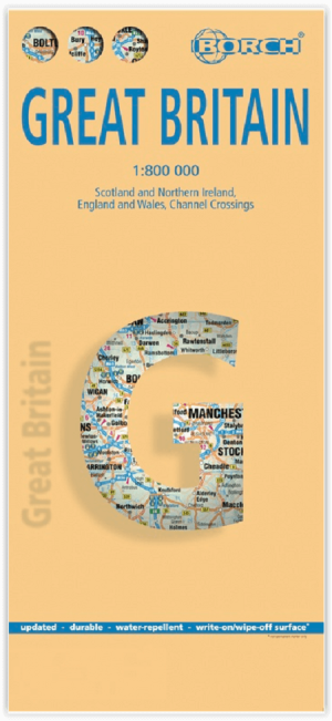
Landkaart Groot-Brittannië - Borch • 9783866093157
Wandelkaart Landkaart Groot-Brittannië - Borch Productomschrijving: Our soft-laminated folded map of Great Britain in the 13th edition shows: Scotland and Northern Ireland 1:800 000, England and Wales 1:800 000, Channel Crossings 1:800 000, Great Britain and Ireland administrative, Europe time zones. Borch Maps are easy to fold, durable and water-repellent with a wipeable surface. Borch Ma…

Reisgids Wegenatlas Landkaart Londres (Franstalig) - Expressmap • 9788380461208
Reisgids Wegenatlas Londres - Expressmap Productomschrijving: 3 en 1 - Londres (Engletaire) FRANSTALIG! - La nouvelle qualité des guides. Les cartes des itinéraires, l’atlas détaillé et la carte laminée pliable ont été élaborés spécialement pour cette publication. Planifier votre séjour, vous déplacer dans la région et atteindre les sites décrits n’a jamais été aussi facile. * 14 itin…
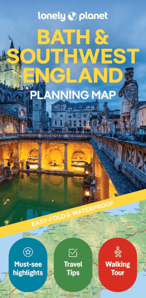
Landkaart Wegenkaart Bath & S.W. England Planning map - Lonely Pl • 9781788687690
Wegenkaart Bath & S.W. England Planning map - Lonely Planet Productomschrijving: From Lonely Planet, the world's leading travel guide publisher Durable and waterproof, with a handy slipcase and an easy-fold format, Lonely Planet's Bath & Southwest England Planning Map helps you get around with ease. Get more from your map and your trip with images and information about top attractions. …
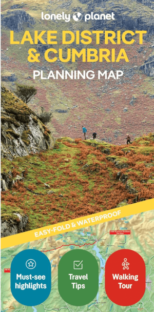
Landkaart Wegenkaart Planning map Lake District & Cumbria • 9781788688376
Wegenkaart Planning map Lake District & Cumbria Productomschrijving: From Lonely Planet, the world's leading travel guide publisher Durable and waterproof, with a handy slipcase and an easy-fold format, Lonely Planet's Lake District & Cumbria Planning Map helps you get around with ease. Get more from your map and your trip with images and information about top attractions, itinerary sugges…

Landkaart Wegenkaart Planning map Oxford & The Cotswolds • 9781788688499
Wegenkaart Planning map Oxford & The Cotswolds Productomschrijving: From Lonely Planet, the world's leading travel guide publisher Durable and waterproof, with a handy slipcase and an easy-fold format, Lonely Planet's Oxford & the Cotswolds Planning Map helps you get around with ease. Get more from your map and your trip with images and information about top attractions. - Durable and …
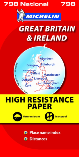
Landkaart Wegenkaart 798 Groot-Brittannië & Ierland - Michelin • 9782067137998
Wegenkaart Groot-Brittannië & Ierland - Michelin Productomschrijving: Deze Nationale kaart van Groot-Brittannië & Ierland, biedt een gedetailleerd overzicht van alle plaatsen. het wegennet wordt verfijnd aangeduid met allerhande symbolen, en voorziet in alle behoeftes, of u op zoek bent naar specifieke wegen, of zich snel uit de voeten wil maken, de plaatsnamenindex, en toeristische inform…
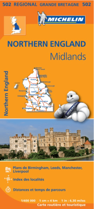
Landkaart Wegenkaart 502 Engeland Noord & Midlands - Michelin • 9782067183230
Regionale Wegenkaart Noord Engeland & the Midlands Productomschrijving: De volledig bijgewerkte MICHELIN-kaart van Engeland Noord, Midlands geeft u alle WEG- EN TOERISME-informatie die u nodig hebt om uw reizen in deze regio te optimaliseren: een INDEX VAN LOCATIES, een TABEL VAN AFSTANDEN en REISTIJDEN. Dankzij de schaal van 1:400.000 (1 cm = 4 km) kun je zowel de hoofdwegen als de klein…
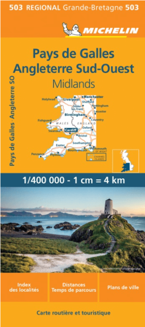
Landkaart Wegenkaart 503 Wales, Midlands & Engeland ZW - Michelin • 9782067183285
Regionale Wegenkaart Wales, Midlands & Engeland ZW - Michelin Productomschrijving: De volledig bijgewerkte MICHELIN kaart van Engeland Zuidwest Wales biedt u alle weg- en toeristische informatie die u nodig heeft om het meeste uit uw reis te halen: een INDEX VAN LOCATIES en een TABEL VAN AFSTANDEN en REISTIJDEN. De schaal van 1:400.000, d.w.z. 1 cm = 4 km, maakt het gemakkelijk om zowel d…

Landkaart Wegenkaart 504 S.E. Engeland & East Anglia - Michelin • 9782067183322
Regionale Wegenkaart South East Engeland & East Anglia Productomschrijving: De volledig bijgewerkte MICHELIN-kaart van Engeland Zuid-Oost, Midlands, Oost-England geeft u alle WEG- EN TOERISME-informatie die u nodig hebt om uw reizen in deze regio te optimaliseren: een INDEX VAN LOCATIES, een TABEL VAN AFSTANDEN en REISTIJDEN. Dankzij de schaal van 1:400.000 (1 cm = 4 km) kun je zowel de h…
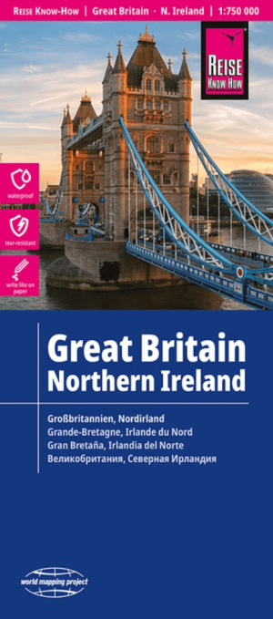
Landkaart Wegenkaart Groot-Brittannië - Reise Know-How Verlag • 9783831772605
Wegenkaart Groot-Brittannië - Reise Know-How Verlag Productomschrijving: De Reise Know-How wegenkaart van Groot-Brittannië is een betrouwbare, gedetailleerde en duurzame landkaart voor wie Groot-Brittannië zelfstandig wil verkennen. Deze hoogwaardige reiskaart is ideaal voor gebruik tijdens een rondreis met de auto, camper, motor of fiets en biedt alle informatie die je nodig hebt voor een…
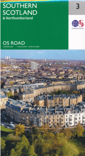
Landkaart Wegenkaart 3 Schotland Zuid & Northumberland - OSI • 9780319263754
Wegenkaart Schotland Zuid & Northumberland - OSI Productomschrijving: Plan your journey with this series of road maps from OS. Showing all major road, rail and ferry links as well as settlements and selected features in 1: 250 000 scale, this is the ideal map for planning trips and holidays by car or cycle. OS Road 3 covers: Southern Scotland plus Northumberland in the North of Englan…
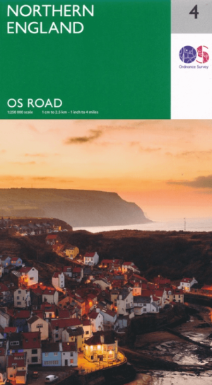
Landkaart Wegenkaart 4 Engeland Noord - OSI • 9780319263761
Wegenkaart Noord Engeland - OSI Productomschrijving: Plan your journey with this series of road maps from OS. Showing all major road, rail and ferry links as well as settlements and selected features in 1: 250 000 scale, this is the ideal map for planning trips and holidays by car or cycle. OS Road 4 covers: Northern England, including the Lake District, North York Moors Liverpool and…

Landkaart Wegenkaart 5 Midlands Oost & East Anglia - OSI • 9780319263778
Wegenkaart Midlands Oost & East Anglia - OSI Productomschrijving: Plan your journey with this series of road maps from OS. Showing all major road, rail and ferry links as well as settlements and selected features in 1: 250 000 scale, this is the ideal map for planning trips and holidays by car or cycle. OS Road 5 covers: the East Midlands, including the Norfolk and the Thames Estuary.…

Landkaart Wegenkaart 7 Zuidwest Engeland & Zuid Wales - OSI • 9780319263792
Wegenkaart Zuidwest Engeland & Zuid Wales - OSI Productomschrijving: Plan your journey with this series of road maps from OS. Showing all major road, rail and ferry links as well as settlements and selected features in 1: 250 000 scale, this is the ideal map for planning trips and holidays by car or cycle. OS Road 7 covers: the south-west England plus south Wales, Devon & Cornwall. …
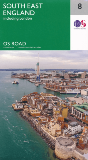
Landkaart Wegenkaart 8 Zuidoost Engeland - OSI • 9780319263808
Wegenkaart Zuidoost Engeland - OSI Productomschrijving: Plan your journey with this series of road maps from OS. Showing all major road, rail and ferry links as well as settlements and selected features in 1: 250 000 scale, this is the ideal map for planning trips and holidays by car or cycle. OS Road 8 covers: the south-east England.
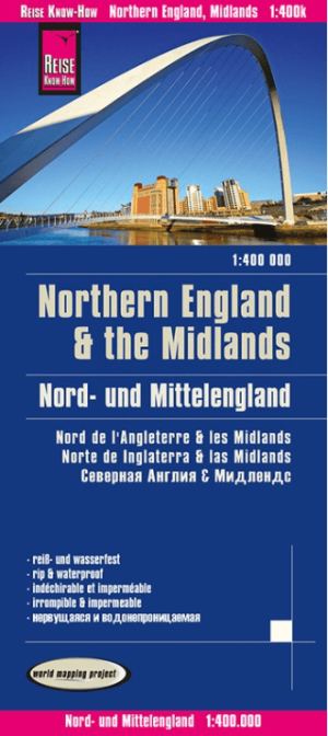
Landkaart Wegenkaart Engeland Noord & Midlands - Reise Know-How • 9783831774364
Wegenkaart Engeland Noord & Midlands - Reise Know-How Productomschrijving: De Reise Know-How wegenkaart van Engeland Noord & Midlands is een betrouwbare, gedetailleerde en duurzame landkaart voor wie Engeland Noord & Midlands zelfstandig wil verkennen. Deze hoogwaardige reiskaart is ideaal voor gebruik tijdens een rondreis met de auto, camper, motor of fiets en biedt alle informatie die j…

Landkaart Wdgenkaart Engeland Zuid & Wales - Reise Know-How • 9783831774685
Wdgenkaart Engeland Zuid & Wales - Reise Know-How Productomschrijving: De Reise Know-How wegenkaart van Engeland Zuid & Wales is een betrouwbare, gedetailleerde en duurzame landkaart voor wie Engeland Zuid & Wales zelfstandig wil verkennen. Deze hoogwaardige reiskaart is ideaal voor gebruik tijdens een rondreis met de auto, camper, motor of fiets en biedt alle informatie die je nodig hebt…
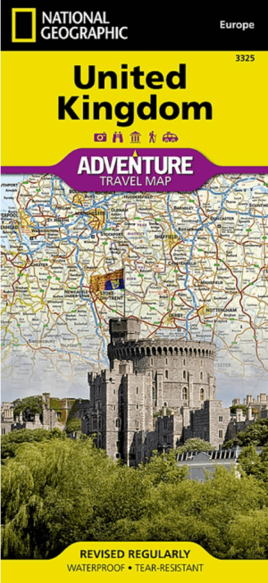
Landkaart Wegenkaart 3325 Adventue map Groot-Brittannië - Nat Geo • 9781566956444
Wegenkaart Adventue map Groot-Brittannië - Nat Geo Productomschrijving: National Geographic's United Kingdom Adventure Map is designed to meet the needs of adventure travelers with its detailed, accurate information and user-friendly design. Cities and towns are easy to find with the map's helpful index. Motorways, highways, and other roads are clearly designated and include distance in ki…

Autogids Groot-Brittanië - Uitgeverij Lannoo • 9789020905342
Autogids Groot-Brittanië - Uitgeverij Lannoo Productomschrijving: Lonely Planet laat je actief genieten van het mooiste van Groot-Brittannië. Ontdek Groot-Brittannië op een actieve manier met deze kant-en-klaar uitgestippelde routes van Lonely Planet. Je kiest uit panoramatochten, kustroutes, bergritten, gastronomische circuits en wildlife tours. Tips voor de beste reistijd en de ultieme …

Reisgids Roadtrips in Europa - Mo'media • 9789493338753
Roadtrips in Europa - Mo'media Productomschrijving: Reizen zonder haast en allesbepalende planning: een roadtrip betekent vrijheid om Europa in je eigen tempo te verkennen. Op weg naar bijzondere plekken kun je uitstappen waar en wanneer je maar wilt. Tijdens het rijden geniet je van het uitzicht, zie je het landschap veranderen en verruim je je blik op de wereld. Ga naar de fjorden in Ijs…

Landkaart Wegenkaart Cornwall England - Freytag & Berndt • 9783707920994
Wegenkaart Cornwall England - Freytag & Berndt Productomschrijving: Cornwall T10 van Freytag & Berndt met schaal 1:150 000 Deze recto/verso gedetailleerde landkaart van Cornwall is zeer geschikt voor het plannen en voor het rondtrekken door het land. Het wegennetwerk is goed weergeven, zowel de hoofdwegen, de provinciale en lokale wegen. Tevens worden wegnummers duidelijk vermeld. …

Landkaart Wegenkaart 713 Groot-Brittannië & Ierland 26 - Michelin • 9782067270220
Wegenkaart 713 Groot-Brittannië & Ierland 2026 - Michelin Productomschrijving: Deze kaart omvat de nieuwe versie voor 2026, met alle straten, hoofdwegen, toeristische informatie en locaties voor Groot-Brittannië & Ierland 2026 - Nationale kaarten - Wegenkaarten national: een overzicht van het land voor lange trajecten - Schaal aangepast aant het land - Kaarten met jaartal voor de…

Landkaart Wegenkaart 02 Engeland, Centraal Zuid - AA Road Maps • 9780749584658
Wegenkaart Engeland, Centraal Zuid - AA Road Maps Productomschrijving: AA Road Map Central Southern England is a practical and slimline, foldable map from the experts at the AA. Encased in a durable, weatherproof cover, the mapping is produced at a scale of 3 miles to 1 inch (1:200,000 / 2km to 1cm) combining clear design, an easy-to-read scale and more road detail to ensure that you never…
Wegenkaart Engeland Midden
Wegenkaart Engeland Midden, Reis door de Cotswolds AONB en Historisch Engeland.
Voor wie houdt van landelijke charme, kastelen en typisch Engelse landschappen, is een wegenkaart van Midden-Engeland onmisbaar. Ontdek de glooiende heuvels van de Cotswolds, de universiteitsstad Oxford, en het hart van Shakespeare’s Engeland: Stratford-upon-Avon. Een goede wegenkaart van Midden-Engeland helpt je om rustiger wegen te kiezen die door pittoreske dorpjes en natuurreservaten slingeren. Denk aan de Midlands, het Peak District Nationaal Park en de Severn Valley.
Bij Bibliotrek.be vind je kaarten van erkende uitgevers zoals Michelin en Ordnance Survey, die meer tonen dan snelwegen: alternatieve routes, bezienswaardigheden en landelijke verbindingen zijn duidelijk gemarkeerd. De wegenkaarten van Midden-Engeland zijn ideaal voor wie met de wagen reist en flexibel zijn route wil plannen. Combineer cultuur, natuur en traditie — met een kaart die je niet laat afhangen van signaal of batterij.
Of je nu naar Warwick Castle rijdt of de binnenwegen van Gloucestershire verkent, een papieren kaart opent de deur naar het echte Engeland.
Wegenkaart Noord-Engeland en Schotlandgrens
Wegenkaart Noord-Engeland en Schotlandgrens, Vooreen Wild en Wijds Avontuur.
Een Wegenkaart van Noord-Engeland brengt je naar ruige natuur, verlaten kusten en historische landschappen. Denk aan de Yorkshire Dales Nationaal Park, het Lake District National Park of de Hadrian’s Wall, vlak bij de Schotse grens.
Met een gedrukte kaart van Noord-Engeland vermijd je de drukke snelwegen en kies je bewust voor panoramische routes en verborgen wegen. Ideaal voor avontuurlijke reizigers die meer willen dan alleen Londen en de zuidkust. Topkaarten van Ordnance Survey of HarperCollins bieden overzicht, reliëf en toeristische hoogtepunten. Je ontdekt kleine bergpassen, meren, en routes door het Northumberland National Park. Op Bibliotrek.be vind je verschillende wegenkaarten van Noord-Engeland, geschikt voor roadtrips, wandelingen of om Schotland binnen te rijden via mooie landwegen.
Laat je niet beperken door navigatiesystemen: een papieren kaart toont wat echt telt. Noord-Engeland is ruw, puur en verrassend — en een goede kaart helpt je de juiste afslag te vinden, elke keer opnieuw.