
Campergids Caravan & Motorhome Atlas 2025 - AA Publishing
Particular information for caravan and motorhome owners


Korte omschrijving
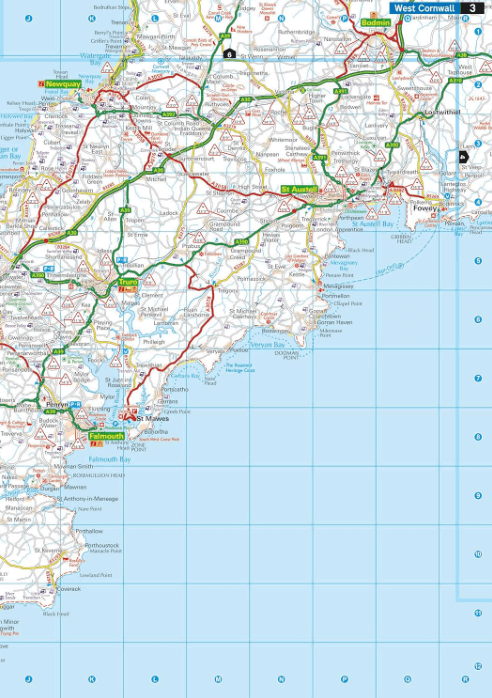
Caravan & Motorhome Atlas 2025 - AA Productomschrijving: New for 2025, this A3 atlas provides information of particular importance to caravan and motorhome owners and includes named AA-inspe...

Specificaties
- Uitgever: AA Publishing
- ISBN-13: 9780749584160
- HOOFDCATEGORIEËN: Wegenkaart - Landkaart
- Regio: Engeland, Schotland, United Kindom Great Britain, Wales
- Land: England, Schotland, United Kingdom, Great Britain, Wales
- Taal: Engels
- Reeks/Serie: AA Publishing, AA Road Maps
- Kamperen: Campergidsen
Volledige omschrijving
Caravan & Motorhome Atlas 2025 - AA
Productomschrijving: New for 2025, this A3 atlas provides information of particular importance to caravan and motorhome owners and includes named AA-inspected caravan parks and also non-AA parks, plus low bridge heights. Roads less than 4 metres wide are distinguished, as well as road tunnels, toll roads, service areas, steep gradients, level crossings and low emission zones.
A special feature for caravanners is a listing of the AA-inspected sites with their ratings and 10 individual touring routes ranging from 96–480 miles with accompanying map and information on places of interest along the route. The giant scale mapping makes it easy to read and each page has been titled with its geographical location so you can turn to the page you need more easily.
The atlas also includes a clear route planner map, quick reference distance chart and an explanatory list of restricted motorway junctions. Additionally there are large scale district maps of London, Birmingham, Glasgow, Manchester and Tyne & Wear. Over 8,700 places of interest shown on the mapping include National Trust and English Heritage sites, National Parks and tourist sites with the addition of scenic routes.
Artikelen uit dezelfde regio

Wandelgids Glyndwr's Way walking - Cicerone • 9781786311290
Glyndwr's Way walking - Cicerone Productomschrijving: Gids over de hystorische wandelroute van de Glyndwr's Way, een langeafstandspad door midden-Wales. De 217 Km lange route van Knighton via Machynlleth naar Welshpool duurt 9 dagen om te lopen, en 2 dagen (29 mijl) om de lus langs het Offa's Dyke Path af te maken zodat er een rondwandeling ontstaat. Een prachtige route door rustige heuvel…
Landkaart Wegenkaart Groot-Brittannië & Ierland - Expressmap • 9788383550138
Wegenkaart Groot-Brittannië & Ierland - Expressmap Productomschrijving: ExpressMap is de uitgever van comfort! maps, geplastificeerde kaarten die eenvoudig te vouwen zijn, zelfs met één hand. Een uniek en innovatief product. Comfortabel, waterbestand, onverscheurbaar, comfort! maps blijven hun kwaliteit lang behouden. Duurzame kaarten, nuttig om een uitstap te plannen en handig voor onderw…
Landkaart Wegenkaart 798 Groot-Brittannië & Ierland - Michelin • 9782067137998
Wegenkaart Groot-Brittannië & Ierland - Michelin Productomschrijving: Deze Nationale kaart van Groot-Brittannië & Ierland, biedt een gedetailleerd overzicht van alle plaatsen. het wegennet wordt verfijnd aangeduid met allerhande symbolen, en voorziet in alle behoeftes, of u op zoek bent naar specifieke wegen, of zich snel uit de voeten wil maken, de plaatsnamenindex, en toeristische inform…
Reisgids Wales - Rough Guides • 9780241306376
Reisgids Wales - Rough Guides Productomschrijving: Discover this beautiful country with the most incisive and entertaining guidebook on the market. Whether you plan to hike through the wilds of Snowdonia, follow in Wordsworth’s footsteps at Tintern Abbey or explore Welsh music and theatre in Swansea, The Rough Guide to Wales will show you the ideal places to sleep, eat, drink and shop alon…

Reisgids Great Britain - Groot Brittannië - Lonely Planet • 9781837583515
Travelguide Great Britain - Lonely Planet Productomschrijving: Buckingham Palace, Stonehenge, Manchester United, The Beatles – Britain does icons like nowhere else, and travel here is a fascinating mix of famous names and hidden gems. Covers: Planning chapters, London, Canterbury, Southeast England, Oxford, Cotswolds, Southwest England, Cambridge, East Anglia, Birmingham, the Midlands…