

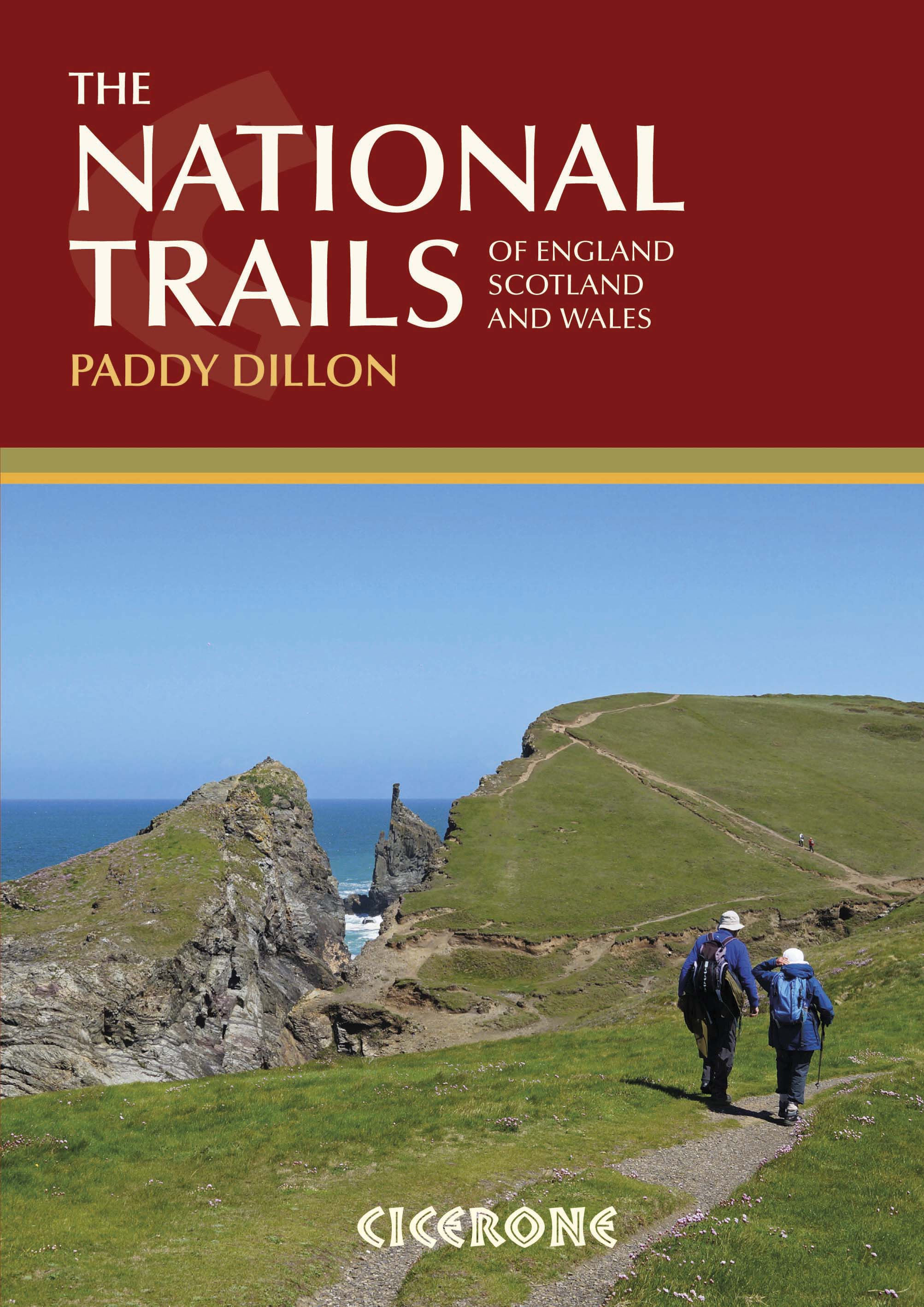
Wandelgids 19 routes England- Schotland & Wales - Cicerone
19 National Trails in de UK in Wales- England & Schotland


Korte omschrijving
Wandelgidsen Engeland, Schotland en Wales van CICERONE Press. Ideaal voor tochten in England, Schotland en Wales.
Wandelgids - 19 routes England- Schotland & Wales - Cicerone Productomschrijving: Deze inspirerende gids kijkt naar elk van de 19 National Trails in het Verenigd Koninkrijk, met informatie d...

Specificaties
- Uitgever: CICERONE Press
- ISBN-13: 9781852847883
- HOOFDCATEGORIEËN: Wandelgids
- Activiteiten: Wandelen, Hiking & Trekking
- Regio: Engeland, Schotland, Wales
- Land: England, Schotland, Wales
- Editie: 2
- Taal: Engels
Volledige omschrijving
Wandelgids - 19 routes England- Schotland & Wales - Cicerone
Productomschrijving: Deze inspirerende gids kijkt naar elk van de 19 National Trails in het Verenigd Koninkrijk, met informatie die het gemakkelijk maakt om vergelijking en contrast te vinden, inspiratie bij het vinden van, en tot het nemen van een lange afstandsuitdaging. Sommige Trails zijn kort en gemakkelijk, anderen veel langer, velen hebben sterke thema's - ze kunnen een kustlijn volgen, of heuvelruggen oversteken.
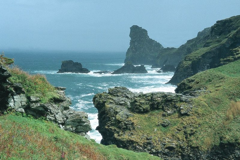
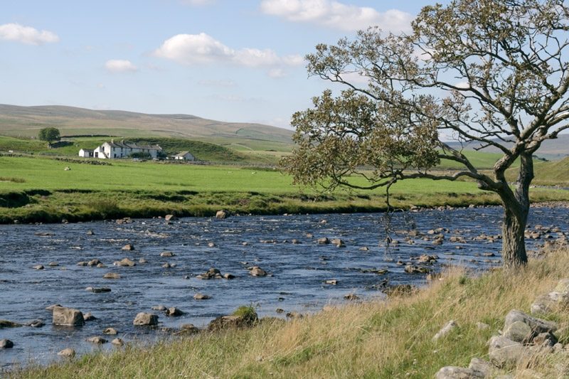
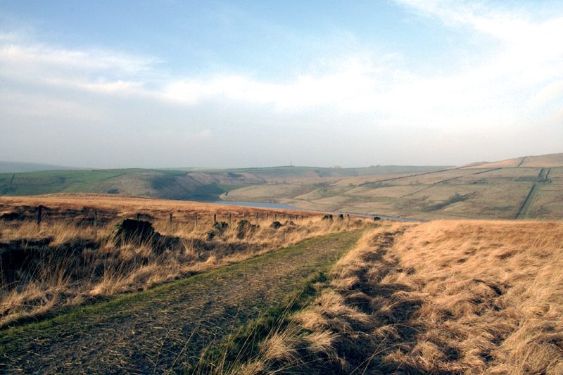
Engelse omschrijving: This inspirational guidebook looks at each of the UK's 19 National Trails, with information that allows ease of comparison and contrast, inspiring you to find out more and to take up a long-distance challenge. Some Trails are short and easy, others much longer, many have strong themes - they may follow a coastline, or traverse ranges of hills.
Seasons:
All trails can be tackled throughout the year, though many of the northern and Scottish routes can be challenging in winter conditions. Avoid the Hadrian's Wall Path in winter, as the ground is soft and underlying archaeology easily damaged.
Difficulty:
The routes vary in both length and technical difficulty, the longest being the South West Coast Path and the most difficult possibly the Pennine Way.
Must See:
Broad views and unspoilt landscapes in some of Britain's best walking areas - from thunderous breaking waves against the cliffs on the South West Coast Path to Buachaille Etive Mor at the gateway to Glen Coe.
Artikelen uit dezelfde regio
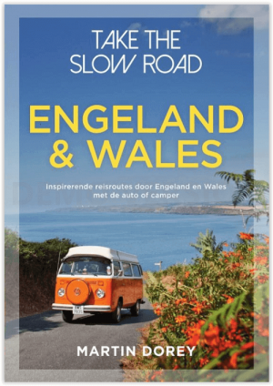
Campergids Take the Slow Road Engeland en Wales - Lannoo • 9789000381890
Campergids - Take the Slow Road Engeland en Wales Productomschrijving: Ontdek op je gemak unieke routes door Engeland en Wales met de camper of de zogenaamde Mobilehome. Snel rijden? Echt niet! Met je voet op het gaspedaal door het landschap racen is niet meer van deze tijd. Vergeet het gehaaste leven, rustig rondtrekken is de nieuwe manier van reizen. En hoe ga je dat doen? Met een ca…

Landkaart Wegenkaart 501 Schotland - Michelin • 9782067183193
Regionale Wegenkaart Schotland - Michelin Productomschrijving: De volledig bijgewerkte MICHELIN Schotland kaart biedt u alle weg- en toeristische informatie die u nodig hebt om uw reizen in deze regio te optimaliseren: een INDEX VAN LOCATIES, een TABEL VAN AFSTANDEN EN REISTIJDEN. Dankzij de schaal van 1:200.000, d.w.z. 1 cm = 2 km, zijn zowel de hoofdwegen als de kleinere wegen goed te z…

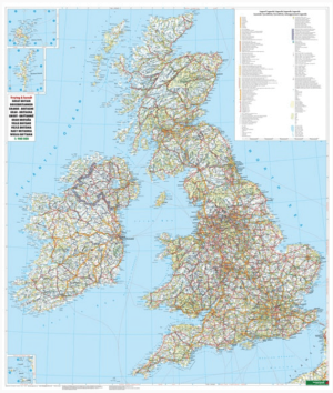
Plano Adm. Wandkaart Groot-Brittannië 84 x 119 - Lovell Johns • 9781904892687
Wandkaart Groot-Brittannië 84 x 119 - Lovell Johns Productomschrijving: Toont provincies en unitaire autoriteiten in verschillende kleuren. Arrondissementen en districten worden ook op deze kaart getoond, evenals dorpen en steden. Bevat een kleine postcodekaart van Groot-Brittannië met postcodes, evenals bevolkingsgegevens. Deze administratieve kaart van Verenigd Koninkrijk is ideaal v…
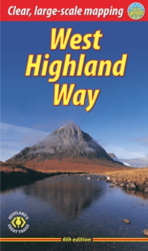
Wandelgids The West Highland Way - Rucksack Readers • 9781913817213
The West Highland Way - Rucksack Readers Productomschrijving: Een unieke intussen zeer gekende wandelroute, die loopt van Milngavie nabij Glasgow tot Fort William door de Schotse Hooglanden. De Route is 152 km Lang en brengt u door de westelijke Highlands van Schotland starten vanuit Glasgow. Engelse omschrijving: The West Highland Way is the first, and remains the most famous, of Scot…
Plano Wandkaart Groot-Brittannië & Ierland - 116 x 99 cm - F&B • 5425013064590
Plano Wandkaart Groot-Brittannië & Ierland Geplastificeerd - F&B Productomschrijving: De plano politieke wandkaarten van Freytag & Berndt brengen elk continent helder in beeld. Grote, duidelijke opgerolde kaart, zonder vouwen. Ideaal om meteen op te hangen in klaslokaal, kantoor of thuis. Landen, hoofdsteden, belangrijke steden en grenzen springen in het oog. Heldere kleuren zorgen voo…