

Wegenatlas Groot Brittanië & Noord Ierland - Freytag & Berndt
England - Wales - Schotland & Noord Ierland

Korte omschrijving
Wegenatlas Groot Brittanië & Noord Ierland - F&B Productomschrijving: Autoatlas Großbritannien - Nordirland 1:200.000 - 1:266.000 ist der ideale Begleiter für alle, die mit dem Auto unterwe...

Specificaties
- Uitgever: Freytag-Berndt und Artaria KG
- ISBN-13: 9783707924084
- HOOFDCATEGORIEËN: Wegenatlas, Wegenkaart - Landkaart
- Activiteiten: Street/Road maps & city plans
- Regio: Engeland, Northern Ireland, UK, Schotland, Wales
- Land: England, Noord Ierland, Schotland, Wales
- Schaal: 1:200000
- Taal: Engels
- Reeks/Serie: Wegenatlassen
Volledige omschrijving
Wegenatlas Groot Brittanië & Noord Ierland - F&B
Productomschrijving: Autoatlas Großbritannien - Nordirland 1:200.000 - 1:266.000 ist der ideale Begleiter für alle, die mit dem Auto unterwegs sind und dabei nicht nur die Hauptstraßen und Autobahnen nutzen möchten. Er ist ideal für die Planung und erweist sich auch während der Reise als unverzichtbare Orientierungshilfe.
Mit dem detaillierten Kartenbild und dem genauen Maßstab lassen sich auch weniger befahrene Nebenstraßen entdecken, die in Übersichtskarten meist gar nicht eingezeichnet sind.
Informationen zum Straßenatlas Großbritannien - Nordirland
- Großbritannien - Nordirland 1:200.000 - 1:266.000
- Spiralbindung
- Camping- und Stellplätze
- Touristische Informationen
- Ortsregister
- 64 Innenstadtpläne
- 328 Seiten, Format 22,5 x 30 cm
- Der ideale Autoatlas für Großbritannien und Nordirland
Das dichte Straßennetz ist exakt abgebildet und viele Ausflugsziele sind in der Karte eingezeichnet.
Auto- und Motorradfahrer schätzen die exakte Kartographie besonders für die Planung und Orientierung vor Ort. Damit die Reise auch mit Wohnmobil, Wohnwagen oder Camper gut planbar ist, sind alle Camping- und Stellplätze im Atlas eingezeichnet.
Spiralbindung
Der Autoatlas Großbritannien und Nordirland ist besonders komfortabel in der Handhabung da er sich durch die Spiralbindung bequem aufklappen lässt. So bleibt die gewünschte Seite auch während der Fahrt immer geöffnet.
Innenstadtpläne
Mit den 64 enthaltenen Cityplänen kann man sich in den Städten gut orientieren, darunter etwa Liverpool, London, Manchester, Bristol und Edinburgh.
Artikelen uit dezelfde regio
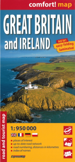
Landkaart Wegenkaart Groot-Brittannië & Ierland - Expressmap • 9788383550138
Wegenkaart Groot-Brittannië & Ierland - Expressmap Productomschrijving: ExpressMap is de uitgever van comfort! maps, geplastificeerde kaarten die eenvoudig te vouwen zijn, zelfs met één hand. Een uniek en innovatief product. Comfortabel, waterbestand, onverscheurbaar, comfort! maps blijven hun kwaliteit lang behouden. Duurzame kaarten, nuttig om een uitstap te plannen en handig voor onderw…
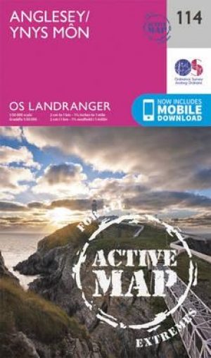
Wandelkaart 114 Anglesey- North West Wales - OSI • 9780319474372
Wandelkaart Anglesey - North West Wales - OSI Productbeschrijving: Kaart nummer 114 in de reeks van de OS Landranger kaarten bestrijkt het platteland Welsh eiland Anglesey. Het is omringd door zandstranden en rotsachtige grotten, met het binnenland dat deel is van het eiland wordt meestal landbouw geteelt. Anglesey is briljant geschikt voor toeristen met een ruime keuze aan accommodatie en…

Wegenatlas Britain & Ireland road atlas - Harper Collins • 9780008779047
Wegenatlas Britain & Ireland - Harper Collins Productomschrijving: This easy-to-use, handy A5 sized road atlas with popular lie-flat spiral binding features extremely clear route planning maps of Britain and Ireland and fits neatly into your glove box or bag. The atlas has been fully updated. The maps of Britain are at 9.9 miles to 1 inch (1:625,000) and the whole of Ireland is covered at …

Reisgids Great Britain - DK Eyewitness • 9780241408292
Reisgids Great Britain - DK Eyewitness Productomschrijving: Visit Stonehenge's mysterious monoliths, take the sea air in buzzing Brighton or come face to face with the Vikings in York: everything you need to know is clearly laid out within colour-coded chapters. Discover the best of Great Britain with this indispensable travel guide. Inside DK Eyewitness Travel Guide Great Britain: -…

Wandelgids The Mourne mountains - Knife Edge • 9781912933037
Wandelgids - The Mourne mountains - Knife Edge Outdoor Limited Productomschirjving: De enige gids die gaat over de Mourne Mountains in Noord Ierland, geschreven door een lokale wandelaar van County Down: 30 uitgekozen routes met Real 1: 25.000 kaarten: dit maakt navigatie eenvoudig en bespaart u geld: geen extra kaarten nodig. Engelse omschrijving: The only guidebook for the Mourne Mou…