

Wandelgids The Mourne mountains - Knife Edge
30 uitgekozen routes van een pracht van een Iers park

Korte omschrijving
Wandelgidsen Northern Ireland, UK van Knife Edge Outdoor Limited. Ideaal voor tochten in United Kingdom, Great Britain en Ierland.
Wandelgids - The Mourne mountains - Knife Edge Outdoor Limited Productomschirjving: De enige gids die gaat over de Mourne Mountains in Noord Ierland, geschreven door een lokale wandelaar van...

Specificaties
- Uitgever: Knife Edge Outdoor Limited
- ISBN-13: 9781912933037
- HOOFDCATEGORIEËN: Wandelgids
- Activiteiten: Wandelen, Hiking & Trekking
- Regio: Northern Ireland, UK
- Land: Ierland, United Kingdom, Great Britain
- Editie: 1
- Taal: Engels
Volledige omschrijving
Wandelgids - The Mourne mountains - Knife Edge Outdoor Limited
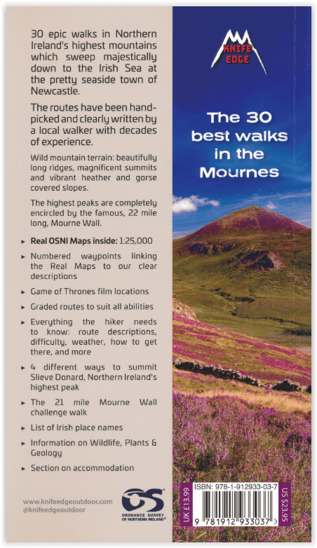
Productomschirjving: De enige gids die gaat over de Mourne Mountains in Noord Ierland, geschreven door een lokale wandelaar van County Down: 30 uitgekozen routes met Real 1: 25.000 kaarten: dit maakt navigatie eenvoudig en bespaart u geld: geen extra kaarten nodig.
Engelse omschrijving: The only guidebook for the Mourne Mountains written by a County Down local hiker: 30 handpicked routes with Real 1:25,000 Maps: this makes navigation easy and saves you money: no need to carry additional maps.
Also includes:
• Game of Thrones film locations
• Numbered waypoints linking maps to text
• Quick Reference Route List: enabling you to plan an itinerary to match your ability and schedule. All difficult calculations of time, distance and altitude gain are done for you
• Everything the hiker needs to know to plan routes: route descriptions, difficulty, weather, how to get there, and more
• Accommodation section
• Information on Wildlife, Plants & Geology
• History of the Mourne Wall
• List of Irish Place Names
• Edge to edge colour: the most modern and beautiful Mournes guidebook
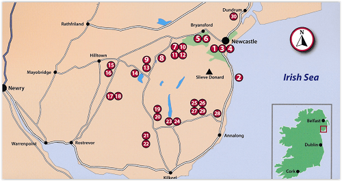
Locatie op kaart
Artikelen uit dezelfde regio

Wandelkaart 20 Discoverer Craigavon- N.Ireland - OSNI • 9781905306916
Wandelkaart Craigavon - N. Ireland Productomschrijving: Omvat onder meer: Lisburn, Lurgan, Bandridge & Slieve Croob. Noord Ierland is een prachtige locatie voor wandelaars en toeristen. De toeristen series kaart van Ordnance Servey, is een kwalitaieve kaart vol informatie die u zeker allemaal kunt gebruiken op deze routes. Engelse omschrijving: With its 2 cm to 1 km, 1? inches to 1 mi…
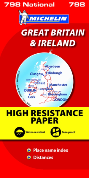
Landkaart Wegenkaart 798 Groot-Brittannië & Ierland - Michelin • 9782067137998
Wegenkaart Groot-Brittannië & Ierland - Michelin Productomschrijving: Deze Nationale kaart van Groot-Brittannië & Ierland, biedt een gedetailleerd overzicht van alle plaatsen. het wegennet wordt verfijnd aangeduid met allerhande symbolen, en voorziet in alle behoeftes, of u op zoek bent naar specifieke wegen, of zich snel uit de voeten wil maken, de plaatsnamenindex, en toeristische inform…
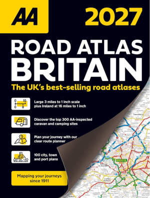
Wegenatlas Britain Road Atlas 2027 - AA Road Maps • 9780749584566
Britain Road Atlas 2027 - AA Road Maps Productomschrijving: This top-selling road atlas showcases Britain’s clearest mapping from the experts at the AA. Each page has been titled with its geographical location so you can turn to the page you need more easily. Wide and narrow minor roads, National Trust, English and World Heritage sites and hard-to-find places are shown. There are 112 city…

Wandelkaart 19 Armagh Northern Ireland - Ordnance Survey • 9781911643067
Wandelkaart Armagh N. Ireland - Ordnance Survey Productomschrijving: Armagh of County Armagh beter gezegd ligt in Noord Ierland, het deel dat nog tot de UK behoort. Sinds Brexit,is het moeilijk voor hen om nog normale handelingen te voeren met de mainland. Deze kaart is de vernieuwde versie van alles die er in County Armagh te beleven valt. Maps in the Discoverer series have contours a…

Reisgids Secret Belfast - Editions Jonglez • 9782361952631
Reisgids Secret Belfast - Editions Jonglez Productomschrijving: Laat Secret Belfast je rondleiden door het ongewone en onbekende. Verlaat de gebaande paden met deze fascinerende reisgids over Belfast en laat onze lokale experts u de goed verborgen schatten van deze geweldige stad laten zien. Ideaal voor lokale bewoners, nieuwsgierige bezoekers en leunstoelreizigers. Ontdek hoe de stad…