

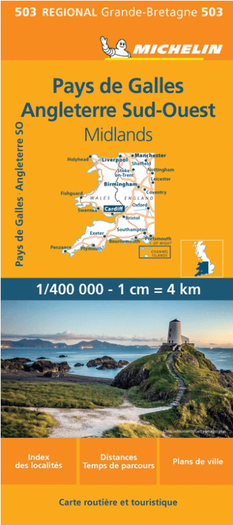
Landkaart Wegenkaart 503 Wales, Midlands & Engeland ZW - Michelin
De Michelin Reginonale Wegenkaarten voor ZW Engeland & Wales
Korte omschrijving
Regionale Wegenkaart Wales, Midlands & Engeland ZW - Michelin Productomschrijving: De volledig bijgewerkte MICHELIN kaart van Engeland Zuidwest Wales biedt u alle weg- en toeristische infor...

Specificaties
- Uitgever: Michelin
- ISBN-13: 9782067183285
- HOOFDCATEGORIEËN: Wegenkaart - Landkaart
- Activiteiten: Street/Road maps & city plans
- Regio: Midlands, England, South West England, Wales
- Land: England, Wales
- Schaal: 1:400000
- Taal: Engels, Frans
- Reeks/Serie: Michelin Local, Regionaal
Volledige omschrijving
Regionale Wegenkaart Wales, Midlands & Engeland ZW - Michelin
Productomschrijving: De volledig bijgewerkte MICHELIN kaart van Engeland Zuidwest Wales biedt u alle weg- en toeristische informatie die u nodig heeft om het meeste uit uw reis te halen: een INDEX VAN LOCATIES en een TABEL VAN AFSTANDEN en REISTIJDEN. De schaal van 1:400.000, d.w.z. 1 cm = 4 km, maakt het gemakkelijk om zowel de hoofdwegen als de kleinere wegen te zien. Om je te helpen de buitenwijken van de steden te verkennen, kun je de plattegronden van Birmingham, Manchester en Liverpool bekijken.
En vergeet de MICHELIN Groene Gids Engeland Wales niet. Met MICHELIN kaarten en atlassen, vindt u meer dan alleen uw route!
Locatie op kaart
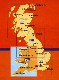
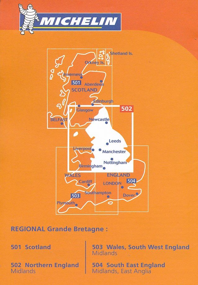
Overzichtskaarten

Michelin Wegenkaart Regionaal UK - 501 - 504 - 1.400.000
Michelin Wegenkaart Regionaal UK - 501 - 504 - 1.400.000
Producten op de overzichtskaart
Klik op een product om naar de detailpagina te gaan.
Artikelen uit dezelfde regio
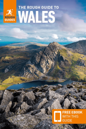
Reisgids Wales - Rough Guides • 9781839059971
Reisgids Wales - Rough Guides Productomschrijving: Discover this beautiful country with the most incisive and entertaining guidebook on the market. Whether you plan to hike through the wilds of Snowdonia, follow in Wordsworth’s footsteps at Tintern Abbey or explore Welsh music and theatre in Swansea, The Rough Guide to Wales will show you the ideal places to sleep, eat, drink and shop alon…

Fietsgids Great British Bike Rides - Vertebrate Publ. • 9781906148553
Great British Bike Rides - Vertebrate Productomschrijving: 40 classic routes for road cyclists Great British Bike Rides by Dave Barter brings together 40 of the best road rides in England, Scotland and Wales, searching out the country's most celebrated routes, toughest climbs and scenic roads. Features detailed route information, bespoke mapping and a statistical breakdown of every det…
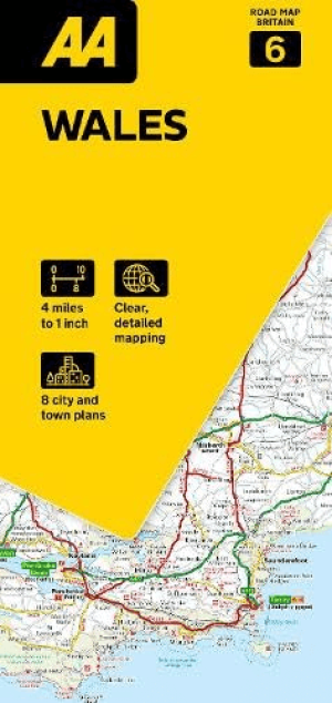
Landkaart Wegenkaart 06 Wales - AA Road Maps • 9780749584696
Wegenkaart Wales - AA Road Maps Productomschrijving: AA Road Map Wales is a practical and slimline, foldable map from the experts at the AA. Encased in a durable, weatherproof cover, the mapping is produced at a scale of 3 miles to 1 inch (1:200,000 / 2km to 1cm) combining clear design, an easy-to-read scale and more road detail to ensure that you never lose your way. Also included are…

Wandelgids Dark Peak Walks in the Peak District - Cicerone • 9781852845193
Wandelgids - Dark Peak Walks in the Peak District - Cicerone Productomschrijving: Het Nationaal park Peak District, is een zeer heuvelrijk nationaal park in het noorden van Engeland. Meestal wordt het onderverdeeld in het noordelijke Dark Peak, waar vooral veel heidegebieden zijn en het zuidelijke White Peak, waar de meeste mensen wonen. Product description: Located in the Peak Distric…

Plano Postcode Wandkaart Groot-Brittannië 84 x 119 - Lovell Johns • 9781910378977
Wandkaart Groot-Brittannië 84 x 119 - Lovell Johns Productomschrijving: De Postcodegebieden van de Britse eilanden worden duidelijk weergegeven en het gebied Groot-Londen wordt uitgebreid om deze postcodegebieden duidelijk te tonen. Bevat informatie, inclusief stads-, provincie- en districtsnamen. Steden zijn gemarkeerd om de geschatte populatie te tonen. Gebruik van de kaart: de postc…