

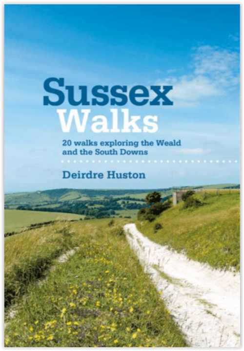
Wandelgids Sussex Walks - Vertebrate Publ.
20 walks exploring the Weald and the South Downs
Korte omschrijving
Wandelgidsen Sussex, England van Vertebrate Publishing. Ideaal voor tochten in England.
Wandelgids Sussex Walks - Vertebrate Productomschrijving: 20 walks exploring the Weald and the South Downs Natioal Park. Sussex Walks is a collection of 20 circular walks, between 3.5 a...

Specificaties
- Uitgever: Vertebrate Publishing
- ISBN-13: 9781906148683
- HOOFDCATEGORIEËN: Wandelgids
- Activiteiten: Wandelen, Hiking & Trekking
- Auteur: Deirdre Holding
- Regio: Sussex, England
- Land: England
- Nationale parken: South Downs NP, Sussex Egland
- AONB - Area of Outstanding Beauty/National Landscape: High Weald AONB, Sussex Downs AONB
- Taal: Engels
- De Engelse Graafschappen: East Sussex, West Sussex
Volledige omschrijving
Wandelgids Sussex Walks - Vertebrate
Productomschrijving: 20 walks exploring the Weald and the South Downs Natioal Park.
Sussex Walks is a collection of 20 circular walks, between 3.5 and 12 miles (5km and 19km) in length that explore the length and breadth of the county of Sussex. Written by local author Deirdre Huston, the walks feature Ordnance Survey 1:25,000 maps, easy-to-follow directions, and information on local history, wildlife, refreshments and terrain.
Wander through the county's varied and interesting landscapes; across open downland, through broadleaf forest and along evolving coastline. The routes are split into two areas – the South Downs AONB and the High Weald AONB – and include walks in Ashdown Forest, around Cissbury Ring, over Ditchling Beacon, to Pooh Bridge and along the coast near West Wittering.
Each route contains snippets of information on the local area. Learn about the wildlife, the history and the people of the countryside you're walking through. Every walk also includes 'creative starting points' – ideas to encourage you to reflect and respond to the landscape.
Researched and written by local author and photographer Deirdre Huston, the walks feature clear and easy-to-use Ordnance Survey 1:25,000 maps, easy-to-follow directions, and information on local history, wildlife, refreshments and terrain.
Locatie op kaart
Artikelen uit dezelfde regio

Reisgids Dorset, Hampshire & Isle of Wight - Rough Guides • 9781835290170
Reisgids Dorset, Hampshire & Isle of Wight Productomschrijving: From sweeping beaches to medieval forests, country pubs to seaside hotels, The Rough Guide to Dorset, Hampshire & the Isle of Wight is the ultimate guide to this stunning part of England. Our expert authors show you all the region’s highlights and let you in on the secret spots locals love, with the fully updated listings show…
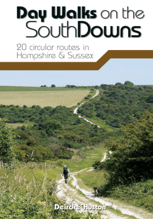
Wandelgids Day Walks on the South Downs NP - Vertebrate Publ. • 9781912560912
Day Walks on the South Downs National Park - Vertebrate Productomschrijving: 20 circular routes in Hampshire & Sussex Day Walks on the South Downs features 20 circular routes, between 6 and 14 miles (9km and 22km) in length, suitable for hill walkers of all abilities. The routes are split into three geographical areas – Hampshire, West Sussex and East Sussex – and include walks to…

Wandelgids 067 Pathfinder guides South Downs NP & East Sussex- OS • 9780319090909
Wandelgids South Downs NP & East Sussex - OS Productomschrijving: The Pathfinder walking guidebook for East Sussex and the South Downs National Park has 28 carefully selected walking routes for all abilities. Routes range from 5km (3 miles) to 19km (12 miles) and each is also graded by difficulty. With each route these is a detailed route description, an extract of the OS map of the area a…
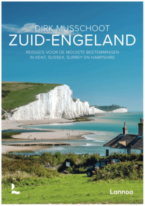
Reisgids Zuid-Engeland - Uitgeverij Lannoo • 9789059960978
Reisgids Zuid-Engeland - Lannoo Productomschrijving: Engelandkenner Dirk Musschoot laat je op een onovertroffen wijze kennismaken met de regio's Kent, East en West Sussex, Surrey, Hampshire en het eiland Wight, en de bestemmingen die je daar absoluut niet mag missen. Enkele voorbeelden: de optrekjes van Charles Darwin, Winston Churchill en Rudyard Kipling, de imposante kliffen van Beac…
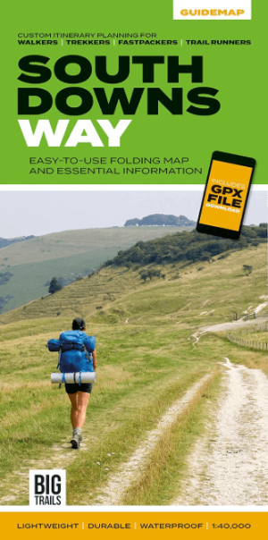
Wandelkaart South Downs Way - Vertebrate Publ. • 9781839810305
Wandelkaart South Downs Way - Vertebrate Productomschrijving: Easy-to-use folding map and essential information, with custom itinerary planning for walkers, trekkers, fastpackers and trail runners The South Downs Way Guidemap from Vertebrate Publishing is a lightweight, waterproof, durable and easy-to-use folding map with 1:40,000-scale mapping for the linear SDW route. Includes an elevati…