Wandelkaart South Downs Way - Vertebrate Publ.
From Winchesterand to Eastbourne - 162 Km
Korte omschrijving
Wandelkaart South Downs Way - Vertebrate Productomschrijving: Easy-to-use folding map and essential information, with custom itinerary planning for walkers, trekkers, fastpackers and trail r...

Specificaties
- Uitgever: Vertebrate Publishing
- ISBN-13: 9781839810305
- Activiteiten: Wandelen, Hiking & Trekking
- Regio: Hampshire, England, South East England, Sussex, England
- Land: England
- Nationale parken: South Downs NP, Sussex Egland
- Schaal: 1:40000
- Taal: Engels
Volledige omschrijving
Wandelkaart South Downs Way - Vertebrate
Productomschrijving: Easy-to-use folding map and essential information, with custom itinerary planning for walkers, trekkers, fastpackers and trail runners The South Downs Way Guidemap from Vertebrate Publishing is a lightweight, waterproof, durable and easy-to-use folding map with 1:40,000-scale mapping for the linear SDW route. Includes an elevation profile and route planner, safety advice, terrain information and accommodation directory.
The 162-kilometre South Downs Way begins in Winchesterand traces a ridgeline along the rolling, green South Downs to the coast at Eastbourne. It is rightly regarded as one of the finest long-distance trails in England. Predominantly bridleway, the trail is generally wide and hard-surfaced and can be walked at any time of year.
The South Downs Way appeals to people who have different levels of experience and travel at all speeds, and this Vertebrate Publishing Guidemap is unique in that it caters for four categories of user, providing custom itineraries for walkers, trekkers, fastpackersand trail runners. This lightweight, waterproof, durableand easy-to-use folding map features all the essential information for a successful South Downs Way, including 1:40,000-scale mapping for the linear route starting in Winchester and finishing in Eastbourne. It also includes a detailed elevation profile and route planner, safety advice, terrain information and an accommodation directory.

Artikelen uit dezelfde regio

Reisgids Dorset, Hampshire & Isle of Wight - Rough Guides • 9781835290170
Reisgids Dorset, Hampshire & Isle of Wight Productomschrijving: From sweeping beaches to medieval forests, country pubs to seaside hotels, The Rough Guide to Dorset, Hampshire & the Isle of Wight is the ultimate guide to this stunning part of England. Our expert authors show you all the region’s highlights and let you in on the secret spots locals love, with the fully updated listings show…

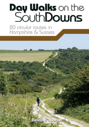
Wandelgids Day Walks on the South Downs NP - Vertebrate Publ. • 9781912560912
Day Walks on the South Downs National Park - Vertebrate Productomschrijving: 20 circular routes in Hampshire & Sussex Day Walks on the South Downs features 20 circular routes, between 6 and 14 miles (9km and 22km) in length, suitable for hill walkers of all abilities. The routes are split into three geographical areas – Hampshire, West Sussex and East Sussex – and include walks to…

Wandelkaart 144 Basingstoke Alton & Whitchurch- Hampshire • 9780319470169
Wandelkaart Basingstoke- Alton & Whitchurch - Hampshire England Omvat ook: Odiham, Overton & Hook. Productbeschrijving: Kaart nummer 144 in de OS Explorer kaarten reeks heeft betrekking op een gebied in het noorden van Hampshire, van Whitchurch in het westen tot Odiham en Alton in het Oosten, en betrekken de stad van Basingstoke. De Wayfarer's walk kruist de North Wessex Downs, een geb…

Wandelkaart 179 Canterbury & East Kent - England - OSI • 9780319475027
Wandelkaart Canterbury- East Kent & Dover - S.E. England Productbeschrijving: Landranger kaart nummer 179 toont de Zuid-Oost kust, waaronder de kathedraal stad Canterbury, de havens van Felixstowe en Dover, evenals Margate, Hythe, Whitstable en Herne Bay. De OS Landranger kaarten reeks heeft betrekking op Groot-Brittannië met 204 gedetailleerde kaarten, perfect voor dagtochten en korte pau…

Fietsgids South East Mountain Biking - Vertebrate Publ. • 9781906148058
South East Mountain Biking - Vertebrate Productomschrijving: South East Mountain Biking Ridgeway & Chilterns (Hills AONB) is a compact guide to some of the best mountain bike riding in Southern England, west of London. This guide contains 24 routes from 18 to 38 kilometres long. Each is described with easy-to-follow directions and details of distance, grade of difficulty, refreshment stops…


