Wandelgids The Lake District Fells Langdale - Cicerone
The Langdale Pikes and Bowfell
Korte omschrijving
The Lake District Fells Langdale - Cicerone Press Productomschrijving: Deze gids beschrijft beklimmingen van 25 Lake District fells die beklommen kunnen worden vanuit Langdale en de Vale of ...

Specificaties
- Uitgever: CICERONE Press
- ISBN-13: 9781786310323
- HOOFDCATEGORIEËN: Wandelgids
- Activiteiten: Wandelen, Hiking & Trekking
- Auteur: Mark Richards
- Regio: Cumbria & Lake District, England
- Land: England, United Kingdom, Great Britain
- Editie: 2
- Taal: Engels
Volledige omschrijving
The Lake District Fells Langdale - Cicerone Press
Productomschrijving: Deze gids beschrijft beklimmingen van 25 Lake District fells die beklommen kunnen worden vanuit Langdale en de Vale of Grasmere. Gemakkelijk bereikbaar vanuit de populaire bases van Grasmere en Ambleside, biedt dit gebied een prachtig landschap en fantastische wandelingen, van de 'kleine maar perfect gemaakte' Loughrigg - ideaal voor een zondagmiddag wandeling - tot de in het oog springende Helm Crag ('de Leeuw en het Lam'), van de verheven hoogten van Bowfell tot de iconische Langdale Pikes. De hoogste berg van Engeland, Scafell Pike, is ook opgenomen in dit volume.
In tegenstelling tot andere gidsen die slechts één of een beperkt aantal routes naar een bepaalde bestemming beschrijven, is het doel van de serie Walking the Lake District Fells om alle opties aan te bieden. Deze worden gepresenteerd als genummerde secties die kunnen worden gecombineerd om oneindig veel mogelijkheden te creëren - van eenvoudige beklimmingen tot langere bergkamroutes.
U vindt er de klassiekers en populaire routes naast minder traditionele alternatieven die perfect zijn voor de zwervende geest. De serie geeft u zowel de vrijheid om uw eigen routes te bedenken als de informatie om weloverwogen beslissingen te nemen, dankzij de duidelijke beschrijvingen van de routes, het terrein, de gevaren, interessante kenmerken en veilige afdaalpaden voor het geval het weer tegenzit. Ook inbegrepen zijn een handvol klassieke ridge routes voor langere vellen dagen.
Engelse omschrijving: This guide describes ascents of 25 Lake District fells that can be climbed from Langdale and the Vale of Grasmere. Easily accessible from the popular bases of Grasmere and Ambleside, this area offers stunning scenery and fantastic walking, from the 'small but perfectly made' Loughrigg - ideal for a Sunday afternoon hike - to eye-catching Helm Crag ('the Lion and the Lamb'), from the lofty heights of Bowfell to the iconic Langdale Pikes. England's highest mountain, Scafell Pike, is also included in this volume.
Unlike other guidebooks which describe a single or limited number of routes to a particular destination, the aim of the Walking the Lake District Fells series is to offer all the options. These are presented as numbered sections which can be combined to create infinite possibilities - from simple ascents to longer ridge routes. You'll find the classics and popular routes alongside less traditional alternatives perfect for the wandering spirit. The series gives you both the freedom to devise your own routes and the information to make informed decisions, thanks to the clear descriptions of the routes, terrain, hazards, interesting features and safe descent paths should the weather close in. Also included are a handful of classic ridge routes for longer fell days.
Mark Richards' inimitable text is complemented by HARVEY mapping and the author's own beautiful sketch topos and panoramas. Perfect for keen hillwalkers and peak-baggers alike and ideal both for pre-planning and use on the hill, Walking the Lake District Fells is the new incarnation of the Fellranger series, which sees the volumes updated and trimmed to a more practical size. These true connoisseurs' guides are sure to inspire you to get out and explore the beautiful fells of Lakeland.

Artikelen uit dezelfde regio

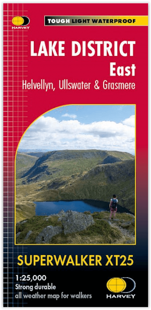
Wandelkaart XT25 Lake District Oost - Harvey Maps • 9781851376438
Wandelkaart Lake District East - Harvey Maps Productomschrijving: Inclusief Helvellyn en High Street en bergen ten oosten van de Kendal-Keswick weg. De Kirkstone Pass, Ullswater, Haweswater en Kentmere staan op dit blad. Gedetailleerde kaart voor bergwandelaars van de oostelijke bergen van het Lake District National Park. - Inclusief 82 bergtoppen beschreven door A.Wainwright. …

Fietskaart Mountainbikekaart Lake District- Cumbria - Goldeneye • 9781859652732
Mountainbikekaart Lake District Cumbria - Goldeneye Productomschrijving: De routes zijn ingedeeld met een geschatte tijd en afstand in kilometers. Het is geen verrassing dat het berglandschap van het Lake District een van de zwaarste mountainbikeroutes van het Verenigd Koninkrijk is, en op de belangrijkste routes over de steile bergkammen tussen de grote valleien zijn lange afstanden onver…

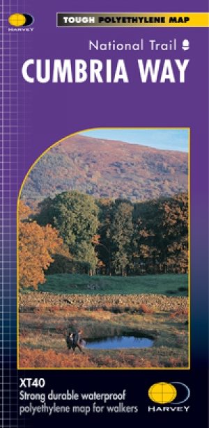
Wandelkaart Cumbria Way - Harvey maps • 9781851374243
Wandelkaart Cumbria Way - Long Distance Paths - Harvey maps Productomschrijving: Deze kaart heeft betrekking op de volledige lengte van The Cumbria Way, 112km (70 mijl) van Ulverston naar Carlisle. Het passeert Coniston, Dungeon Gildors, Keswick en Caldbeck. Meestal door valleien in plaats van over hoge toppen. Informatie over het vinden van accommodatie, camping, voedsel. Routebeschrijvin…

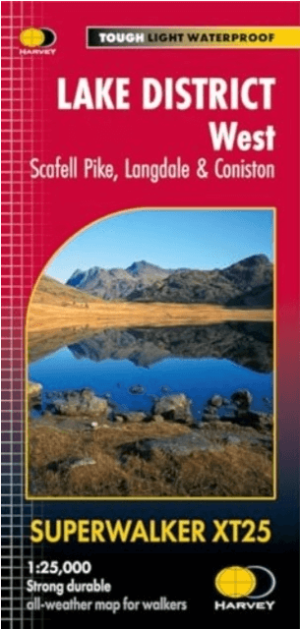
Wandelkaart XT25 Lake District West - Harvey Maps • 9781851376919
Wandelkaart Lake District West - Harvey Maps Productomschrijving: Scafell en The Langdale Pikes, en de bergen ten westen van de Kendal-Keswick-weg. - Gedetailleerde kaart voor bergwandelaars van de uitdagende westelijke bergen van The Lake District National Park. - Hard Knott en Wrynose passen. Ennerdale, Wast Water en Coniston Water. - Inclusief 74 bergtoppen beschreven door A. Wa…

Fietsgids Gravel Rides Lake District - Vertebrate Publ. • 9781839811845
Gravel Rides Lake District - Vertebrate Productomschrijving: 15 gravel bike adventures in Cumbria Gravel Rides Lake District by Andrew Barlow showcases 15 of the best gravel bike rides in the stunning Lake District National Park. Researched, ridden and written by Lakes local Andrew Barlow, the routes feature clear and easy-to-use Ordnance Survey 1:50,000 maps; easy-to-follow directions…


