

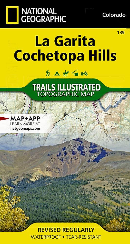
Wandelkaart 139 La Garita Caldera - Cochetopa - Nat Geo
La Garita Caldera is de krater van een grote dode vulkaan
Korte omschrijving
Wandelkaarten Colorado, USA van National Geographic. Ideaal voor tochten in Verenigde Staten van Amerika (USA).
TOPO Wandelkaart 139 - La Garita Caldera - Cochetopa - National Gepgraphic Productomschrijving: La Garita Caldera is de krater van een grote dode vulkaan in het zuidwesten van Colorado in de...

Specificaties
- Uitgever: National Geographic
- ISBN-13: 9781566953399
- HOOFDCATEGORIEËN: Wandelkaart
- Auteur: National Geographic
- Regio: Colorado, USA
- Land: Verenigde Staten van Amerika (USA)
- TOPO's & Stafkaarten: Topografisch wandelen
- Schaal: 1:67500
- Taal: Engels
Volledige omschrijving
TOPO Wandelkaart 139 - La Garita Caldera - Cochetopa - National Gepgraphic
Productomschrijving: La Garita Caldera is de krater van een grote dode vulkaan in het zuidwesten van Colorado in de Verenigde Staten. De caldera, een ringvormige bergketen die centraal binnen een cluster van kleinere caldera's ligt, maakt deel uit van het San Juan Gebergte in de Rocky Mountains.
Engelse omschrijving: Expertly researched and created in partnership with the U.S. Forest Service, Bureau of Land Manangement and others, National Geographic's Trails Illustrated map of La Garita and Cochetopa Hills provides unmatched detail of this mountainous and forested area in southern Colorado. The map covers parts of San Isabel, Gunnison and Rio Grande National Forests, La Garita and Powderhorn Wilderness Areas, La Garita and San Juan Mountains, Sawatch Range, Silver Thread Scenic Byway and Continental Divide.
Outdoor enthusiasts will be able to get off the beaten track and back on again by following the map to clearly marked trailheads and then along precisely mapped trails, labeled with their designated usage, whether traveling on foot, by mountain bike, motorcycle or snowmobile. The Colorado Trail and Continental Divide Trail, which merge for a large section of the map, are both highlighted. Among the map's many features are contour lines and elevations, labeled peaks and passes, water features and color-coded boundaries between public and private land. Recreation points of interest for all seasons appear as well, including campgrounds, boat launch points, fishing areas, yurts and ski areas. Every Trails Illustrated map is printed on "Backcountry Tough" waterproof, tear-resistant paper. A full UTM grid is printed on the map to aid with GPS navigation.
Other features found on this map include: Cochetopa Dome, Cochetopa Hills, Gunnison National Forest, La Garita Mountains, La Garita Wilderness, Mesa Mountain, Monarch Pass, Powderhorn Wilderness, Rio Grande National Forest, San Isabel National Forest, San Luis Peak.
Locatie op kaart
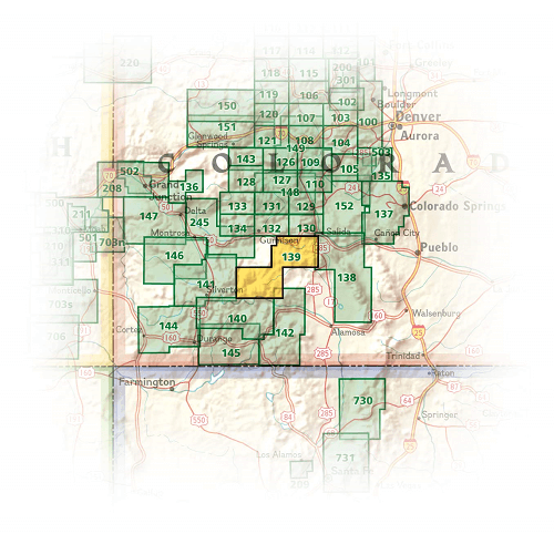
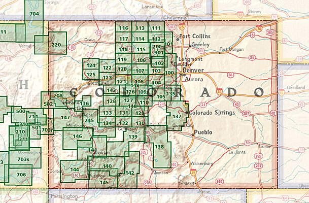
Overzichtskaarten
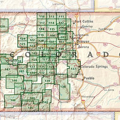
NAT GEO Colorado trail maps
NAT GEO Colorado trail maps
Producten op de overzichtskaart
Klik op een product om naar de detailpagina te gaan.
- Wandelkaart 110 Leadville & Fairplay - Colorado - Nat Geo
- Wandelkaart 127 Aspen - Independence Pass - Colorado USA
- Wandelkaart 137 Pikes Peak & Cañon City - Nat Geo
- Wandelkaart 138 Sangre de Cristo Mountains - Nat Geo
- Wandelkaart 139 La Garita Caldera - Cochetopa - Nat Geo
- Wandelkaart 140 Weminuche Wilderness Colorado USA - Nat Geo
- Wandelkaart 141 Telluride- Silverton- Ouray & Lake City - Nat Geo
- Wandelkaart 144 Durango & Cortez- Colorado - Natgeo
- Wandelkaart 208 Colorado National Monument - Natgeo
- Wandelkaart 245 Black Canyon of the Gunnison NP - Natgeo
Artikelen uit dezelfde regio

Wandelkaart 141 Telluride- Silverton- Ouray & Lake City - Nat Geo • 9781566953405
Wandelkaart Telluride- Silverton- Ouray & Lake City - Nat Geo Productomschrijving: De National Geographic Trails Illustrated kaart van Telluride, Silverton, Ouray, en Lake City is deskundig onderzocht en gemaakt in samenwerking met lokale landbeheerders. Het is een ongeëvenaard hulpmiddel voor het verkennen van deze adembenemende regio van Colorado. Ongeacht het seizoen is deze kaart een h…

Wandelkaart 208 Colorado National Monument - Natgeo • 9781566954013
TOPO Wandelkaart 208 - Colorado National Monument - Natgeo Productomschrijving: recreatie regio's doorheen Colorado's 'Grand Valley' omvatten de steden: Grand Junction, Fruita, Palisade & Loma. Dit veel gebruikte gebied is gekend onder de de mensen die in Colorado wonen. Dit gebied is nationaal bekend voor zijn speciale mountainbiketrails en evengoed gekend voor de start van het Kokepelli …
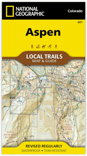
Wandelkaart 601 Aspen Local Trails - Nat Geo • 9781566957526
Wandelkaart Aspen Local Trails - Nat Geo Productomschrijving: Met meer dan 320 km aan wandelpaden op korte afstand van de stad hebben bezoekers van Aspen een benijdenswaardig probleem: met al deze paden om uit te kiezen, waar moeten ze beginnen? De Aspen Local Trails-kaart helpt bij het beantwoorden van deze vraag - waar gaan de plaatselijke bewoners heen als ze een korte wandeling met het…

Wandelkaart 103 Winter Park, Central City & Rollins Pass • 9781566952767
Wandelkaart Winter Park, Central City & Rollins Pass Productomschrijving: National Geographic's Trails Illustrated kaart van Winter Park, Central City en Rollins Pass biedt ongeëvenaarde details voor outdoor enthousiastelingen die het hele jaar door willen genieten van de recreatieve mogelijkheden in de zuidelijke delen van Roosevelt en Arapaho National Forest. Deskundig onderzocht en gema…

Wandelkaart 1203 Colorado Trail & Collegiate Loop- Natgeo • 9781566957229
Wandelkaart 1203- Colorado Trail & Collegiate Loop- Natgeo Productomschrijving: The Colorado Trail is een lange-afstands wandelroute van om en bij de 782 km. Deze loopt van de mond van Waterton Canyon ten zuidwesten van Denver tot Durango in Colorado. Zijn hoogste punt is 4,045 meter boven zeeniveau, en de overgrote meerderheid van de route loopt boven de 3,000 meter. Ondanks zijn hoog gel…