

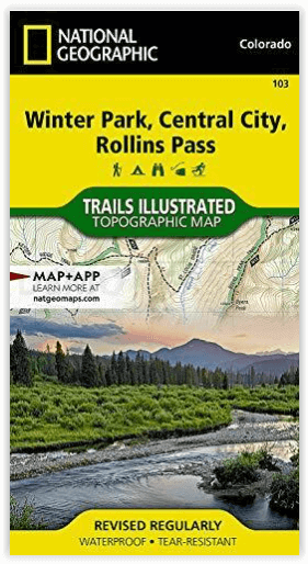
Wandelkaart 103 Winter Park, Central City & Rollins Pass
Met deel van het Roosevelt & Arapaho National Forest
Korte omschrijving
Wandelkaarten Colorado, USA van National Geographic. Ideaal voor tochten in Verenigde Staten van Amerika (USA).
Wandelkaart Winter Park, Central City & Rollins Pass Productomschrijving: National Geographic's Trails Illustrated kaart van Winter Park, Central City en Rollins Pass biedt ongeëvenaarde det...

Specificaties
- Uitgever: National Geographic
- ISBN-13: 9781566952767
- HOOFDCATEGORIEËN: Wandelkaart
- Activiteiten: Wandelen, Hiking & Trekking
- Auteur: National Geographic
- Regio: Colorado, USA
- Land: Verenigde Staten van Amerika (USA)
- TOPO's & Stafkaarten: Topografisch wandelen
- Schaal: 1:40000
- Taal: Engels
Volledige omschrijving
Wandelkaart Winter Park, Central City & Rollins Pass
Productomschrijving: National Geographic's Trails Illustrated kaart van Winter Park, Central City en Rollins Pass biedt ongeëvenaarde details voor outdoor enthousiastelingen die het hele jaar door willen genieten van de recreatieve mogelijkheden in de zuidelijke delen van Roosevelt en Arapaho National Forest. Deskundig onderzocht en gemaakt in samenwerking met lokale landbeheerders, bevat deze kaart nuttige contactinformatie, veiligheidstips, en nog veel meer. De kaart bevat vele belangrijke gebieden van belang, waaronder Indian, Vasquez en Byers Peaks Wilderness, Arapaho National Recreation Area en Eldora Ski Area.
Engelse omschrijving: National Geographic's Trails Illustrated map of Winter Park, Central City and Rollins Pass provides unparalleled detail for outdoor enthusiasts seeking to enjoy the year-round recreational opportunities in the southern parts of Roosevelt and Arapaho National Forest. Expertly researched and created in partnership with local land management agencies, this map includes helpful contact information, safety tips, and more. The map features many key areas of interest including Indian, Vasquez and Byers Peaks Wilderness, Arapaho National Recreation Area and Eldora Ski Area.
With miles of clearly marked trails that include mileage between intersections, this map will prove invaluable in your exploration of the area. The map base includes contour lines and elevations for summits, passes and many lakes. Whatever the season, you'll find this map a useful tool in pursuing a host of recreational activities. Recreation features are clearly marked, including areas for camping, hiking, downhill and alpine skiing, snowmobile riding, tubing, mountain biking and more.
Every Trails Illustrated map is printed on "Backcountry Tough" waterproof, tear-resistant paper. A full UTM grid is printed on the map to aid with GPS navigation. Other features found on this map include: Arapaho National Forest, Berthoud Pass, Byers Peak Wilderness, Indian Peaks Wilderness, James Peak Wilderness, Roosevelt National Forest, Vasquez Peak Wilderness.
Locatie op kaart
Artikelen uit dezelfde regio
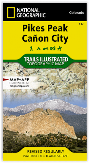
Wandelkaart 137 Pikes Peak & Cañon City - Nat Geo • 9781566953986
Pikes Peak & Cañon City Colorado - National Geographic Productomschrijving: De hoogste top in de zuidelijke Front Range van de Rocky Mountains, Pikes Peak torent boven Colorado Springs uit als een granieten schildwacht. Verken deze en andere geologische attracties zoals Garden of the Gods, Florrisant Fossil Beds en de Royal Gorge met National Geographic's Trails Illustrated kaart van Pikes…

Wandelkaart 134 Black Mesa - Curecanti Pass Colorado - Nat Geo • 9781566954303
Wandelkaart Black Mesa - Curecanti Pass Colorado - Nat Geo Productomschrijving: Outdoor enthousiastelingen die de afgelegen en ongetemde bergen van westelijk Colorado willen verkennen zullen zich verbazen over National Geographic's Trails Illustrated kaart van Black Mesa en Curecanti Pass. Gemaakt in samenwerking met de U.S. Forest Service, dekt deze deskundig onderzochte kaart, het recrea…

Wandelkaart 139 La Garita Caldera - Cochetopa - Nat Geo • 9781566953399
TOPO Wandelkaart 139 - La Garita Caldera - Cochetopa - National Gepgraphic Productomschrijving: La Garita Caldera is de krater van een grote dode vulkaan in het zuidwesten van Colorado in de Verenigde Staten. De caldera, een ringvormige bergketen die centraal binnen een cluster van kleinere caldera's ligt, maakt deel uit van het San Juan Gebergte in de Rocky Mountains. Engelse omschrij…

Wandelkaart 1302 Colorado 14'ers- Noord - Nat geo • 9781566956994
TOPO Wandelkaart 1302 - Colorado 14'ers- Noord - Natgeo Productomschrijving: De Colorado 14'ers bestaat uit 14 van de meest indrukwekkende bergmassieven in Colorado, verdeeld over drie verschillende regio's als Front Range, Momsquito Tenmile Ranges en de Sawatch Range. een indrukwekkende locatie om te gaan trekken uiteraard. Front Range: Mount Bierstadt, Mount Evans, Grays Peak, Longs …
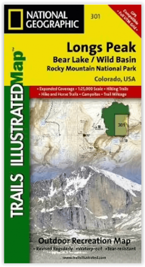
Wandelkaart 301 Longs Peak -Trails Illustrated N. Trails - Nat Geo • 9781566954310
Wandelkaart 301 Longs Peak - Nat Geo Productomschrijving: Engelse omschrijving: Towering over the Rocky Mountains stands the 14,259 foot high Longs Peak. National Geographic's Trails Illustrated map of Longs Peak and the surrounding south-east areas of Rocky Mountain National Park is designed to meet the needs of those who are looking for a phenomenal climbing experience as well as fo…