

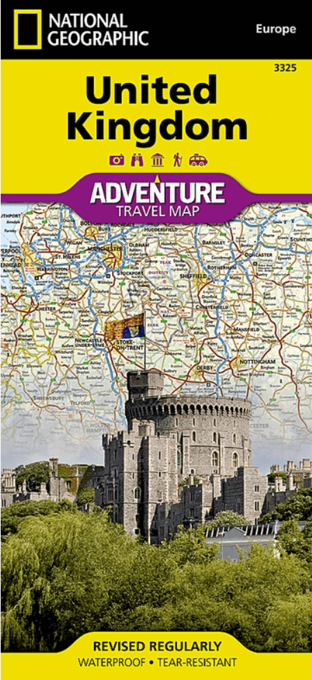
Landkaart Wegenkaart 3325 Adventue map Groot-Brittannië - Nat Geo
Belfast- Edinburgh- England- Wales & Scotland- Lough Neag- Loch N
Korte omschrijving
Wegenkaart Adventue map Groot-Brittannië - Nat Geo Productomschrijving: National Geographic's United Kingdom Adventure Map is designed to meet the needs of adventure travelers with its detai...

Specificaties
- Uitgever: National Geographic
- ISBN-13: 9781566956444
- HOOFDCATEGORIEËN: Wegenkaart - Landkaart
- Activiteiten: Street/Road maps & city plans
- Auteur: National Geographic
- Regio: Engeland, Noord Ierland, Schotland, Wales
- Land: England, Noord Ierland, Schotland, Wales
- Waterafstotende kaart: Nat Geo waterproof series
- TOPO's & Stafkaarten: Topografisch wandelen
- Schaal: 1:825000
- Taal: Engels
- Reeks/Serie: NAT GEO Adventure travel maps
Volledige omschrijving
Wegenkaart Adventue map Groot-Brittannië - Nat Geo
Productomschrijving: National Geographic's United Kingdom Adventure Map is designed to meet the needs of adventure travelers with its detailed, accurate information and user-friendly design. Cities and towns are easy to find with the map's helpful index. Motorways, highways, and other roads are clearly designated and include distance in kilometers so travelers can easily plan their best route. With specialty content to include hundreds of diverse and unique recreational, ecological, cultural, and historical destinations, this map is a perfect companion to a guidebook.
The south side of this map covers the southern portion of the UK, from the tip of France and across the Isle of Man to Northern Ireland. The north side shows Belfast, and across the Channel to Edinburgh, the Outer Hebrides, the Orkney Islands, and the Shetland Islands.
The United Kingdom is comprised of the island of Great Britain which includes England, Wales, and Scotland; surrounding islands including the Outer Hebrides, Orkney Islands, and Shetland Islands; and Northern Ireland.
No part of the UK is more than 75 miles from the sea, but the geography is diverse. England consists of mostly lowland terrain with mountainous regions found in the north and in Wales. Scotland is divided into two distinct regions by the Highland Boundary Fault which separates the Highlands to the north and west and the lowlands in the south and east. The largest body of water in the UK is Northern Ireland's Lough Neagh. Though it is the largest body of water by surface area, Scotland's Loch Ness is larger by volume due to its great depth.
Every Adventure Map is printed on durable synthetic paper, making them waterproof, tear-resistant and tough — capable of withstanding the rigors of international travel.
Key Features:
- Waterproof and tear-resistant
- Designed and printed in the U.S.A.
- Detailed topography with clearly labeled natural features
- Major road networks
- Hundreds of points of interest, including the location of parks and protected lands
- Thousands of place names with a detailed index
- Important travel aids including airports, rail lines, and other infrastructure
- Latitude/Longitude and UTM grids along with a compass rose and scale bars for accurate navigation with compass or GPS
Overzichtskaarten

NAT GEO Adventure maps EUROPE 3302 - 3328
NAT GEO Adventure maps EUROPE 3302 - 3328
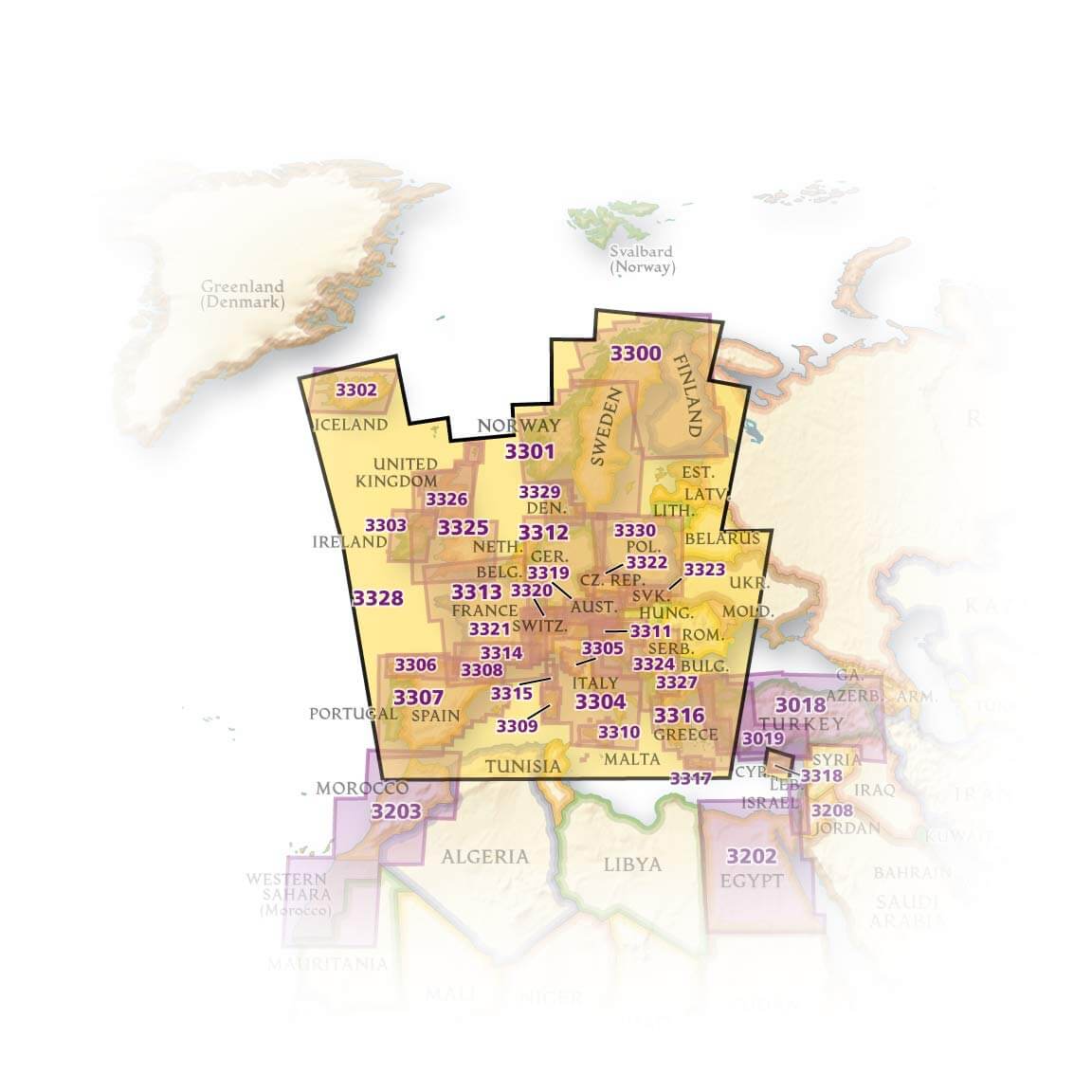
Producten op de overzichtskaart
Klik op een product om naar de detailpagina te gaan.
- Landkaart Wegenkaart 3301 Zweden Zuid & Noorwegen - Nat Geo
- Landkaart Wegenkaart 3302 Ijsland - Nat Geo
- Landkaart Wegenkaart 3303 Ierland - Nat Geo
- Landkaart Wegenkaart 3304 Italië - Nat Geo
- Landkaart Wegenkaart 3305 Toscane - Nat Geo
- Landkaart Wegenkaart 3306 Spanje Noord - Nat Geo
- Landkaart Wegenkaart 3307 Spanje & Portugal - Nat Geo
- Landkaart Wegenkaart 3308 Pyreneeën & Andorra - Nat Geo
- Landkaart Wegenkaart 3309 Sardinië - Nat Geo
- Landkaart Wegenkaart 3312 Adventure map Duitsland - Nat Geo
- Landkaart Wegenkaart 3313 Adventure map Frankrijk - Nat Geo
- Landkaart Wegenkaart 3314 Adventure map Zuid-Frankrijk - Nat Geo
- Landkaart Wegenkaart 3315 Adventure map Corsica - Nat Geo
- Landkaart Wegenkaart 3316 Adventure map Griekenland - Nat Geo
- Landkaart Wegenkaart 3317 Adventure map Kreta - Nat Geo
- Landkaart Wegenkaart 3318 Adventure map Cyprus - Nat Geo
- Landkaart Wegenkaart 3319 Adventure map Oostenrijk - Nat Geo
- Landkaart Wegenkaart 3320 Adventure map Zwitserland - Nat Geo
- Landkaart Wegenkaart 3321 De Alpen - Nat Geo
- Landkaart Wegenkaart 3322 Adventure map Tsjechië - Nat Geo
- Landkaart Wegenkaart 3323 Adventure map Slowakije - Nat Geo
- Landkaart Wegenkaart 3324 Adventure map Kroatië - Nat Geo
- Landkaart Wegenkaart 3325 Adventue map Groot-Brittannië - Nat Geo
- Landkaart Wegenkaart 3326 Adventure map Schotland - Nat Geo
- Landkaart Wegenkaart 3327 Westelijke Balkan - Nat Geo
- Landkaart Wegenkaart 3328 Europa - Nat Geo
Artikelen uit dezelfde regio
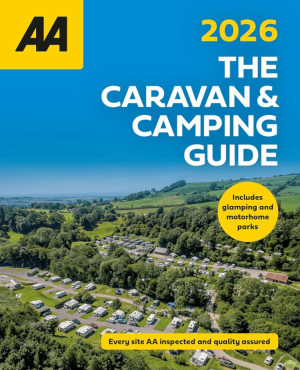
Campinggids Caravan & Camping Guide Britain 2026 - AA Publ. • 9780749584474
Caravan & Camping Guide Britain 2026 - AA Productomschrijving: De AA Caravan & Camping Guide 2026 bundelt meer dan 550 gecontroleerde kampeerterreinen verspreid over het Verenigd Koninkrijk. De gids richt zich op reizigers met een tent, caravan of camper, maar neemt ook glampinglocaties en vakantieparken op. Elk terrein werd bezocht en beoordeeld door professionele inspecteurs van de AA. …
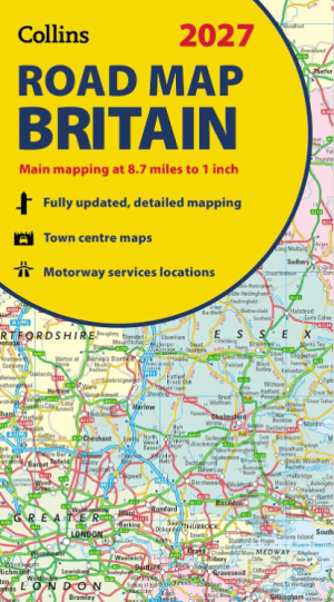
Landkaart Wegenkaart Britain road map 2027 - Harper Collins • 9780008779054
Wegenkaart Britain road map 2027 - Harper Collins Productomschrijving: Full-colour, double-sided road map of Great Britain at a scale of 8.7 miles to 1 inch. Northern England, Scotland and the Isle of Man are on one side with Southern England and Wales on the other. With its political colouring of counties and unitary authorities,this map is ideal for business users but it is also perfect …
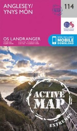
Wandelkaart 114 Anglesey- North West Wales - OSI • 9780319474372
Wandelkaart Anglesey - North West Wales - OSI Productbeschrijving: Kaart nummer 114 in de reeks van de OS Landranger kaarten bestrijkt het platteland Welsh eiland Anglesey. Het is omringd door zandstranden en rotsachtige grotten, met het binnenland dat deel is van het eiland wordt meestal landbouw geteelt. Anglesey is briljant geschikt voor toeristen met een ruime keuze aan accommodatie en…
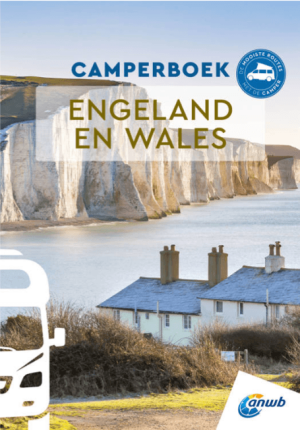
Anwb Camperboek Engeland & Wales - Anwb • 9789018055066
Camperboek Engeland & Wales - Anwb Productomschrijving: Ontdek met het ANWB Camperboek Engeland & Wales de mooiste camperroutes door adembenemende natuur en karaktervolle steden. Rijd langs ruige kusten, groene heuvels, nationale parken en sfeervolle dorpen, met 17 zorgvuldig samengestelde routes vol highlights. Inclusief praktische tips, campings, GPS-coördinaten en inspirerende fotografi…

Landkaart Wegenkaart 713 Groot-Brittannië & Ierland 26 - Michelin • 9782067270220
Wegenkaart 713 Groot-Brittannië & Ierland 2026 - Michelin Productomschrijving: Deze kaart omvat de nieuwe versie voor 2026, met alle straten, hoofdwegen, toeristische informatie en locaties voor Groot-Brittannië & Ierland 2026 - Nationale kaarten - Wegenkaarten national: een overzicht van het land voor lange trajecten - Schaal aangepast aant het land - Kaarten met jaartal voor de…