

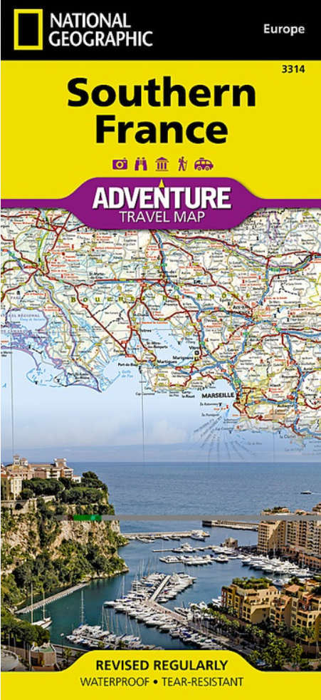
Landkaart Wegenkaart 3314 Adventure map Zuid-Frankrijk - Nat Geo
Cote d' Azur - Bay of Biscay - Monaco- Nice
Korte omschrijving
Wegenkaart Adventure map Zuid-Frankrijk - Nat Geo Productomschrijving: National Geographic's Adventure Map of Southern France is an invaluable tool for travelers seeking to explore the rich ...

Specificaties
- Uitgever: National Geographic
- ISBN-13: 9781566956055
- HOOFDCATEGORIEËN: Wegenkaart - Landkaart
- Activiteiten: Street/Road maps & city plans
- Auteur: National Geographic
- Regio: Zuid Frankrijk
- Land: Frankrijk
- Waterafstotende kaart: Nat Geo waterproof series
- TOPO's & Stafkaarten: Topografisch wandelen
- Schaal: 1:465000
- Taal: Engels
- Reeks/Serie: NAT GEO Adventure travel maps
- De Franse Regio's: Provence-Alpes-Côte d'Azur
Volledige omschrijving
Wegenkaart Adventure map Zuid-Frankrijk - Nat Geo
Productomschrijving: National Geographic's Adventure Map of Southern France is an invaluable tool for travelers seeking to explore the rich history, distinctive cuisine, and colorful landscapes of this remarkable region. Designed to meet the needs of adventure travelers with its detailed, accurate information, this map includes the location of cities and towns with a user-friendly index and a clearly marked road network complete with distances and designations for roads/expressways, plus secondary routes for those seeking to explore off the beaten path. With specialty content to include hundreds of diverse and unique recreational, ecological, cultural, and historical destinations, this map is a perfect companion to a guidebook. Among the many points of interest are national parks, campsites, beaches, ski resorts, golf courses, archeological sites, castles, churches, monuments, and more.
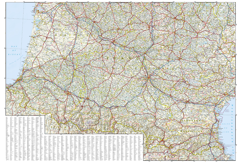
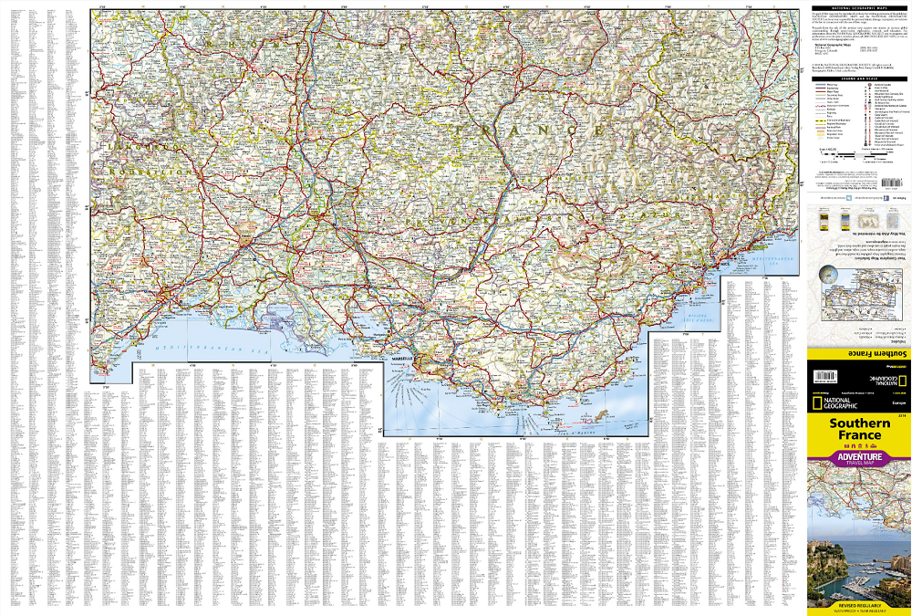
The front side of the print map details the eastern region, from its border with Monaco and Italy to the east, and the Riviera (Cote d' Azur), Mediterranean Sea and Golfe Du Lion to the south. The reverse side of the map details Southern France's western region, extending from the Bay of Biscay to the west, Spain and Andorra to the south, and the Golfe du Lion to the east. Users will find a variety of helpful travel aids on this map as well, including the location of airports, railroads, and ferry routes.
Every Adventure Map is printed on durable synthetic paper, making them waterproof, tear-resistant and tough — capable of withstanding the rigors of international travel.
Key Features:
Waterproof and tear-resistant
Detailed interpretive information and local travel tips
Detailed topography complete with activity symbols, ideal for exploring the country
City overview maps
Hundreds of points of interest, including the location of World Heritage sites, national parks and nature reserves, aboriginal settlements and protected lands, mines, archeological sites, wildlife parks and more
Thousands of place names
Important travel aids including airports, lighthouses, ferry routes and rail lines
Developed in cooperation with local agencies
Updated regularly to ensure accuracy
Overzichtskaarten

NAT GEO Adventure maps EUROPE 3302 - 3328
NAT GEO Adventure maps EUROPE 3302 - 3328
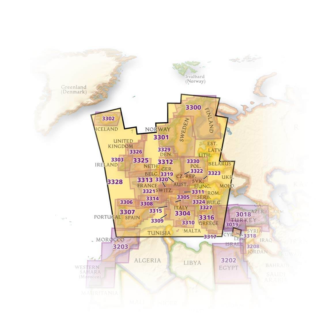
Producten op de overzichtskaart
Klik op een product om naar de detailpagina te gaan.
- Landkaart Wegenkaart 3301 Zweden Zuid & Noorwegen - Nat Geo
- Landkaart Wegenkaart 3302 Ijsland - Nat Geo
- Landkaart Wegenkaart 3303 Ierland - Nat Geo
- Landkaart Wegenkaart 3304 Italië - Nat Geo
- Landkaart Wegenkaart 3305 Toscane - Nat Geo
- Landkaart Wegenkaart 3306 Spanje Noord - Nat Geo
- Landkaart Wegenkaart 3307 Spanje & Portugal - Nat Geo
- Landkaart Wegenkaart 3308 Pyreneeën & Andorra - Nat Geo
- Landkaart Wegenkaart 3309 Sardinië - Nat Geo
- Landkaart Wegenkaart 3312 Adventure map Duitsland - Nat Geo
- Landkaart Wegenkaart 3313 Adventure map Frankrijk - Nat Geo
- Landkaart Wegenkaart 3314 Adventure map Zuid-Frankrijk - Nat Geo
- Landkaart Wegenkaart 3315 Adventure map Corsica - Nat Geo
- Landkaart Wegenkaart 3316 Adventure map Griekenland - Nat Geo
- Landkaart Wegenkaart 3317 Adventure map Kreta - Nat Geo
- Landkaart Wegenkaart 3318 Adventure map Cyprus - Nat Geo
- Landkaart Wegenkaart 3319 Adventure map Oostenrijk - Nat Geo
- Landkaart Wegenkaart 3320 Adventure map Zwitserland - Nat Geo
- Landkaart Wegenkaart 3321 De Alpen - Nat Geo
- Landkaart Wegenkaart 3322 Adventure map Tsjechië - Nat Geo
- Landkaart Wegenkaart 3323 Adventure map Slowakije - Nat Geo
- Landkaart Wegenkaart 3324 Adventure map Kroatië - Nat Geo
- Landkaart Wegenkaart 3325 Adventue map Groot-Brittannië - Nat Geo
- Landkaart Wegenkaart 3326 Adventure map Schotland - Nat Geo
- Landkaart Wegenkaart 3327 Westelijke Balkan - Nat Geo
- Landkaart Wegenkaart 3328 Europa - Nat Geo
Artikelen uit dezelfde regio
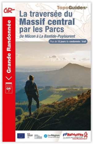
Wandelgids 7001 Traversée du Massif Central par les Parcs GR7 - FFR • 9782751411625
Traversée du Massif Central par les Parcs GR7 - FFR Productomschrijving: Meer dan 15 dagen wandelen, van Mâcon tot La Bastide-Puylaurent, door de parken van het Centraal Massief. Het Centraal Massief is het grootste bergmassief van Frankrijk, en de GR® 7 bestrijkt er bijna 800 kilometer van, waarbij de waterscheiding wordt gevolgd. Deze gids presenteert het noordelijke deel van de overtoc…

Landkaart Wegenkaart 725 Frankrijk Zuid - Michelin • 9782067200159
Wegenkaart Zuid Frankrijk - Michelin Productomschrijving: Deze Nationale kaart van Zuid-frankrijk, werd ontwikkeld, om zich snel uit de voeten wil maken, met plaatsnamenindex, en toeristische informatie, geven u alle elementen om dat werkelijkheid te maken. De kaarten zijn gemakkelijk leesbaar en gedrukt op sterk papier. De rode Michelin wegenkaarten met schaal 1:300.000 zijn dé betrou…