

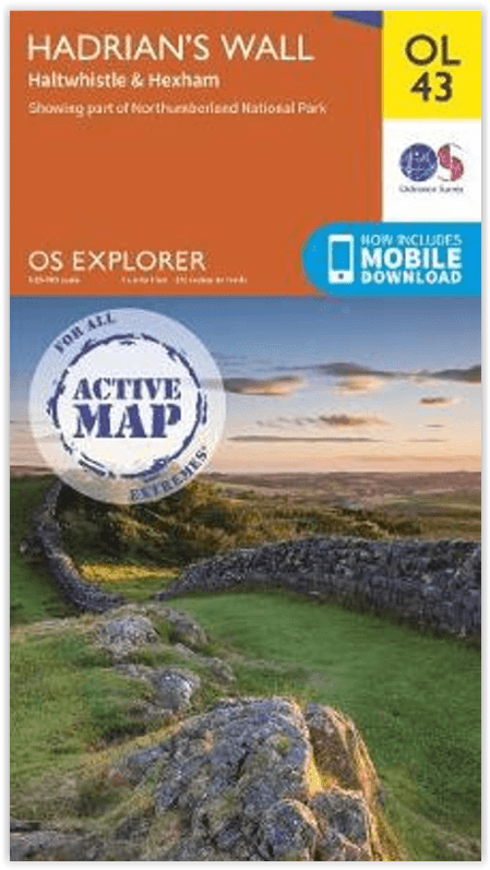
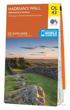
Wandelkaart OL43 Hadrian's Wall - OSI
inclusief Haltwhistle & Hexham area
Korte omschrijving
Wandelkaarten Northumberland, Engeland van Ordnance Survey. Ideaal voor tochten in England.
Wandelkaart Hadrian's Wall - England Productomschrijving: Wandel in de shaduw van de romeinen en ontdek dit eeuwen oud monument van om en bij de 2000 jaar oud. Hoogtepunten omvatten: Gilslan...

Specificaties
- Uitgever: Ordnance Survey
- ISBN-13: 9780319475621
- HOOFDCATEGORIEËN: Wandelkaart
- Activiteiten: Wandelen, Hiking & Trekking
- Regio: Northumberland, Engeland
- Land: England
- Waterafstotende kaart: Ordnance Survey ACTIVE Explorer Weatherproof Maps
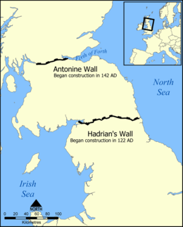
- Historische wandelroutes: Hadrian's Wall path (135 km)
- Nationale parken: Northumberland NP, England
- UNESCO werelderfgoed: Hadrian's Wall Path (135 km)
- TOPO's & Stafkaarten: Topografisch wandelen
- Schaal: 1:25000
- Taal: Engels
- Reeks/Serie: Explorer ACTIVE Series OSI
- Iconische Wandelroutes: Hadrians Wall Path, UK
- National Trails UK, England & Wales: Hadrians Wall, England

Volledige omschrijving
Wandelkaart Hadrian's Wall - England
Productomschrijving: Wandel in de shaduw van de romeinen en ontdek dit eeuwen oud monument van om en bij de 2000 jaar oud. Hoogtepunten omvatten: Gilsland, Corbridge, Haltwhistle, Humshaugh, Hexham, Haydon Bridge, Bardon Mill, Greenlea lough, Housesteads, Chesters Roman Fort & Vindolanda. Een van de klassieke wandelingen van Engeland, en één die genotteerd is op de lijst van het UNESCO werelderfgoed. Bijzondere interessante hike met grote cultureel gehalte. Ontdek wat de romeinen in die tijd allemaal bewerkstelligden om de schoten buiten te houden.
Engelse omschrijving: Walk in the footsteps of the Romans and experience this ancient frontier with over 2,000 years of history. Highlights include: Gilsland, Corbridge, Haltwhistle, Humshaugh, Hexham, Haydon Bridge, Bardon Mill, Greenlea lough, Housesteads, Chesters Roman Fort, and Vindolanda.
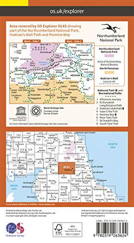
Locatie op kaart
Overzichtskaarten
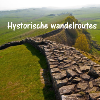
Hystorische wandel- en fietsroutes
Hystorische wandel- en fietsroutes

Producten op de overzichtskaart
Klik op een product om naar de detailpagina te gaan.
- Wandelkaart South Downs Way - Harvey maps
- Wandelgids North Yorkshire historic walks - Cicerone
- Wandelkaart OL13 - Brecon Beacons NP - Eastern area - OSI
- Wandelgids The Great Glen Way - Trailblazer
- Wandelgids Hadrian's wall Path - Knife Edge
- Wandelkaart XT40 Offa's Dyke Path - Harvey Maps
- Wandelkaart OL43 Hadrian's Wall - OSI
- Wandelkaart 351 Dunbar & North Berwick- Schotland - OSI
- Wandelgids Walking in the Forest of Dean - Cicerone
- Wandelkaart 130 Salisburry & Stonehenge- Wiltshire - OSI
- Wandelkaart 256 Wrexham- Wrecsam & Llangollen - OSI
- Wandelkaart 130 Salisbury & Stonehenge- Wiltshire - OSI
- Wandelgids John Muir Trail - Cicerone
- Wandelkaart Rob Roy Way National trail - Harvey maps
- Wandelkaart Hadrian's Wall Path - Harvey maps
- Wandelkaart Offa's Dyke Path- Route Map Booklet - Cicerone
Artikelen uit dezelfde regio
Wandelkaart OL43 Hadrian's Wall- Haltwhistle & Hexham - OS • 9780319263624
Wandelkaart Hadrian's Wall- Haltwhistle & Hexham - OS Productomschrijving: Topografische wandelkaart van Hadrian's Wall- Haltwhistle & Hexham. Omvat: Haltwhistle & Hexham, historic Hadrian's Wall path across Northern England, with parts of Northumberland National park & The Pennine Way. Ontdek de OL-serie van Ordnance Survey: De OL-serie (Outdoor Leisure) van Ordnance Survey is …

Wandelgids Park Rangers Favourite Walks Northumberland - Collins • 9780008462710
Park Rangers Favourite Walks Northumberland - Collins Productomschrijving: Wandelgids voor het Northumberland National Park, met 20 van de beste routes uitgekozen door de parkwachters. Elke wandeling varieert in lengte van 2 tot 10 km en kan in minder dan 4 uur worden afgelegd. Engelse omschrijving: Walking guide to the Northumberland National Park, with 20 best routes chosen by the pa…

Landkaart Wegenkaart 3 Schotland Zuid & Northumberland - OSI • 9780319263754
Wegenkaart Schotland Zuid & Northumberland - OSI Productomschrijving: Plan your journey with this series of road maps from OS. Showing all major road, rail and ferry links as well as settlements and selected features in 1: 250 000 scale, this is the ideal map for planning trips and holidays by car or cycle. OS Road 3 covers: Southern Scotland plus Northumberland in the North of Englan…
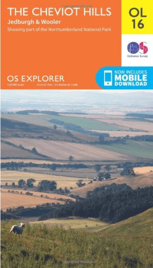
Wandelkaart OL16 Cheviot Hills, Jedburgh & Wooler - OS • 9780319242551
Wandelkaart Cheviot Hills, Jedburgh & Wooler - OS Productomschrijving: Cheviot Hills, Jedburgh & Wooler, part of Northumberland Natioal Park. Omvat: Cheviot Hills, Jedburgh & Wooler, part of Northumberland Natioal Park, Pennine Way, E2 European long Distance Path, Borders Abbeys Way & St-Cuthbert's Way. Ontdek de OL-serie van Ordnance Survey: De OL-serie (Outdoor Leisure) van Ord…
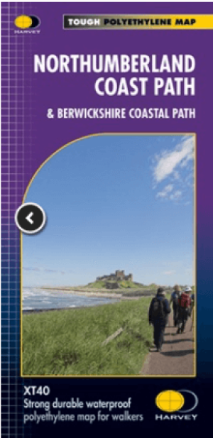
Wandelkaart Northumberland - Harvey Maps • 9781851376681
Wandelkaart Northumberland - Harvey Maps Productomschrijving: De Gehele route op één kaart! - Het Northumberland Coast Path strekt zich uit over 103 km van Cresswell in het zuiden naar Berwick-upon-Tweed in het noorden, waarna het Berwickshire Coastal Path 48 km (28 m) verdergaat naar Cockburnspath. Beide routes staan op deze kaart en ze maken deel uit van het Noordzeepad. Het Northumb…