

Wandelkaart 705 Mount Dutton & Aquarius Plateau - Nat Geo
Dixie National Forest & Bicknell Bottom State Wildlife Area

Korte omschrijving
Wandelkaarten Utah, USA van National Geographic. Ideaal voor tochten in Verenigde Staten van Amerika (USA).
Wandelkaart Mount Dutton & Aquarius Plateau - Nat Geo Omvat: Black Butte, Bryce Canyon National Park, Dixie National Forest, Paunsaugunt Plateau, Pink Cliffs, Sevier Plateau. Engelse oms...

Specificaties
- Uitgever: National Geographic
- ISBN-13: 9781566954150
- HOOFDCATEGORIEËN: Wandelkaart
- Activiteiten: Wandelen, Hiking & Trekking
- Auteur: National Geographic
- Regio: Utah, USA
- Land: Verenigde Staten van Amerika (USA)
- Waterafstotende kaart: Nat Geo waterproof series
- Schaal: 1:75000
- Taal: Engels
Volledige omschrijving
Wandelkaart Mount Dutton & Aquarius Plateau - Nat Geo
Omvat: Black Butte, Bryce Canyon National Park, Dixie National Forest, Paunsaugunt Plateau, Pink Cliffs, Sevier Plateau.
Engelse omschrijving: This map covers the spectacularly scenic stretch in southern Utah of the Powell and Escalante Ranger Districts of Dixie National Forest—from Bicknell Bottom State Wildlife Area in the Northwest to the town of Panguitch in the Southwest. Key features are the Great Western Trail, a corridor of braided trails that form the backbone of Utah's trail system, and the Fremont OHV Trail, with diverse terrain and scenery.
The map also shows Red Canyon Recreation Area—where campers can explore the Red Canyon Rim Trail and canoe and fish at Greens Lake—and Box-Death Hollow Wilderness (aptly named referring to livestock that plunged to their death crossing the steep canyon), where visitors marvel at the vertical, orange, sandstone walls cut by tributaries of the Escalante River. Another attraction featured is Otter Creek State Park, a great getaway for birders (during spring and fall migrations), ATV riders, and boaters. Trout fishing is popular in the high alpine Otter Creek Reservoir. The dramatic dinosaur-backed Escalante Mountains and the majestic Aquarius Plateau, the highest in North America, are also mapped.
This area offers diverse outdoor recreation including hiking, camping, OHV, canyoneering, bicycling, fishing, hunting, climbing, and scenic driving.
Every Trails Illustrated map is printed on "Backcountry Tough" waterproof, tear-resistant paper. A full UTM grid is printed on the map to aid with GPS navigation.
Other features found on this map include: Black Butte, Bryce Canyon National Park, Dixie National Forest, Paunsaugunt Plateau, Pink Cliffs, Sevier Plateau.
Locatie op kaart
Overzichtskaarten

NAT GEO Utah trail maps
NAT GEO Utah trail maps

Producten op de overzichtskaart
Klik op een product om naar de detailpagina te gaan.
- Wandelkaart 210 Canyonlands NP - Utah - Natgeo
- Wandelkaart 211 Arches National Park- Utah - Natgeo
- Wandelkaart 214 Zion National Park - Natgeo
- Wandelkaart 219 Bryce Canyon NP Utah - Natgeo
- Wandelkaart 267 Capitol Reef NP Utah - Natgeo
- Wandelkaart 702 Cedar Mountain - Utah USA - Nat Geo
- Wandelkaart 703 Manti-La Sal National forest - Natgeo
- Wandelkaart 704 Flaming Gorge- Recreational Area - Utah
- Wandelkaart 705 Mount Dutton & Aquarius Plateau - Nat Geo
- Wandelkaart 213 Glen Canyon & Capitol Reef NP - Nat Geo
Artikelen uit dezelfde regio

Landkaart Wegenkaart Planning map Zion & Bryce Canyon NP • 9781788686167
Wegenkaart Planning map Zion & Bryce Canyon NP - Lonely Planet Productomschrijving: Durable and waterproof, with a handy slipcase and an easy-fold format, Lonely Planet’s Zion & Bryce Canyon National Parks Planning Map helps you get around with ease. Get more from your map and your trip with images and information about top attractions, itinerary suggestions, a transport guide, planning i…
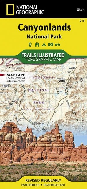
Wandelkaart 210 Canyonlands NP - Utah - Natgeo • 9781566953269
TOPO Wandelkaart 210 - Canyonlands NP - Utah - Nat geo Productomschrijving: Canyonlands National Park is een Amerikaans nationaal park gelegen in het Zuidoosten van Utah, dichtbij de stad Moab. Het park omvat een kleurrijk landschap, geerodeerd in verschillende canyons door het water van de Colorado River. The park is verdeeld in 4 districten: the Island in the Sky District, the Needles d…
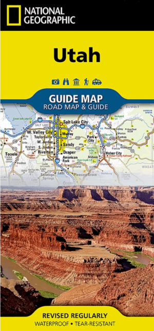
Landkaart Wegenkaart Utah State guide map - Nat Geo • 9781566957236
Wegenkaart Utah State guide map - Nat Geo Productomschrijving: National Geographic's Utah Guide Map is designed to meet the needs of all travelers with by combining a detailed and accurate road map with and an expertly researched travel guide. Find your destination quickly using the user friendly index of cities and towns. Then plan your route on the comprehensive road map, complete with r…
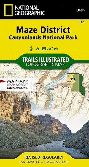
Wandelkaart 312 Canyonlands NP - Maze District - Natgeo • 9781566954624
Topografische Wandelkaart 312 - Canyonlands NP - Natgeo Productomschrijving: Canyonlands National Park is een Amerikaans nationaal park gelegen in het Zuidoosten van Utah, dichtbij de stad Moab. Het park omvat een kleurrijk landschap, geerodeerd in verschillende canyons door het water van de Colorado River. Het park is verdeeld in 4 districten: the Island in the Sky District, the Needles …
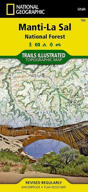
Wandelkaart 703 Manti-La Sal National forest - Natgeo • 9781566953771
TOPO Wandelkaart 703 - Manti-La Sal National forest - Nat Geo Productomschrijving: Het Manti–La Sal National Forest omvat meer dan 4,900 km, en is gelegen in centraal- en zuidoostelijke deel van Utah en het extreme westelijke deel van Colorado. Engelse omschrijving: Expertly researched and created in cooperation with the U.S. Forest Service, Bureau of Land Management and others, Natio…