

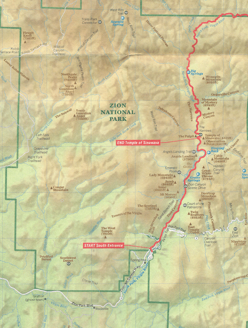
Landkaart Wegenkaart Planning map Zion & Bryce Canyon NP
Angels Landing- The Narrows- Emerald Pools- Zion Canyon Scenic Dr


Korte omschrijving
Wegenkaart Planning map Zion & Bryce Canyon NP - Lonely Planet Productomschrijving: Durable and waterproof, with a handy slipcase and an easy-fold format, Lonely Planet’s Zion & Bryce Canyo...

Specificaties
- Uitgever: Lonely Planet Publications
- ISBN-13: 9781788686167
- HOOFDCATEGORIEËN: Wegenkaart - Landkaart
- Activiteiten: Street/Road maps & city plans
- Regio: Utah, USA
- Land: Verenigde Staten van Amerika (USA)
- Nationale parken: Zion & Bryce Canyon national park, Utah, USA
- Editie: 1
- Taal: Engels
- Reeks/Serie: Lonely Planet Planning maps
Volledige omschrijving
Wegenkaart Planning map Zion & Bryce Canyon NP - Lonely Planet
Productomschrijving: Durable and waterproof, with a handy slipcase and an easy-fold format, Lonely Planet’s Zion & Bryce Canyon National Parks Planning Map helps you get around with ease. Get more from your map and your trip with images and information about top attractions, itinerary suggestions, a transport guide, planning information, themed lists and practical travel tips.
- Durable and waterproof
- Easy-fold format and convenient size
- Handy slipcase
- Full color and easy to use
- Before-you-go info
- Beautiful imagery
- Tailored itineraries
- Can't-miss regional highlights
- Detailed town index
- Transport planner
- Themed lists
Covers: Zion Canyon, Zion National Park, Angels Landing, The Narrows, Emerald Pools, Zion Canyon Scenic Drive, Bryce National Park, Navajo Loop Trail, Fairyland Loop Trail, Inspiration Point, Standalone Pois, Red Canyon, Kolob Terrace Rd, Zion National Park, Southwestern Desert, Zion National Park, Kolob Canyons, Zion National Park, East Zion, Zion National Park
Artikelen uit dezelfde regio
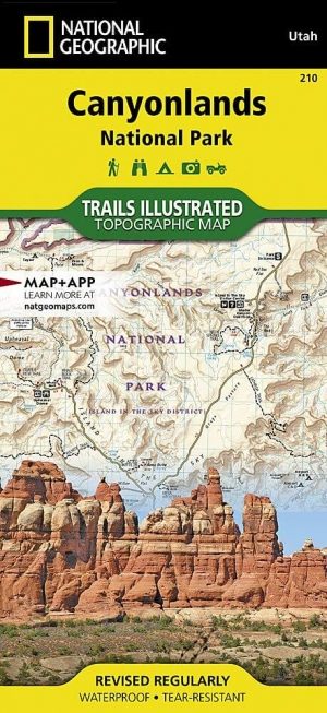
Wandelkaart 210 Canyonlands NP - Utah - Natgeo • 9781566953269
TOPO Wandelkaart 210 - Canyonlands NP - Utah - Nat geo Productomschrijving: Canyonlands National Park is een Amerikaans nationaal park gelegen in het Zuidoosten van Utah, dichtbij de stad Moab. Het park omvat een kleurrijk landschap, geerodeerd in verschillende canyons door het water van de Colorado River. The park is verdeeld in 4 districten: the Island in the Sky District, the Needles d…

Wandelkaart 267 Capitol Reef NP Utah - Natgeo • 9781566956703
Wandelkaart Capitol Reef NP Utah - Nat Geo Productomschrijving: Capitol Reef National Park is een verborgen juweel gelegen in de Waterpocket Fold, een rimpel in de aarde die zich uitstrekt bijna 100 mijl door het zuiden-centrale rode rots land van Utah. National Geographic's Trails Illustrated kaart van Capitol Reef biedt ongeëvenaarde details van het park om tegemoet te komen aan de behoe…
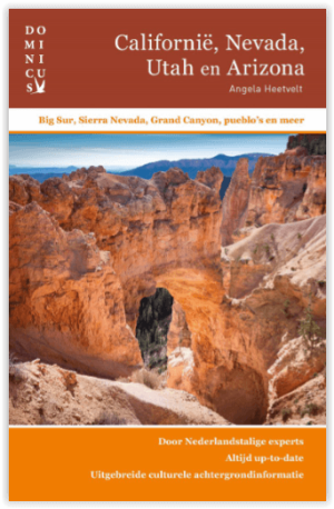
Reisgids Californië- Arizona- Nevada & Utah - Gottmer • 9789025779139
Californië- Arizona- Nevada & Utah van Gottmer Productomschrijving: Of je nu nieuwsgierig bent naar cultuurbepalende wereldsteden als San Francisco en Los Angeles dan wel je juist graag terugtrekt in de natuur: de zuidwestelijke hoek van de VS is voor iedereen een gebied vol hoogtepunten. Californië trekt het grootste aantal bezoekers, gevolgd door de Grand Canyon in Arizona, de nationale …
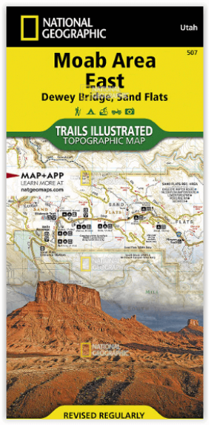
Wandelkaart 507 Moab Oost - Dewey Bridge & Sand Flats - Nat Geo • 9781566959025
Wandelkaart Moab Oost - Dewey Bridge & Sand Flats - Nat Geo Productomschrijving: Deze kaart omvat het Oostelijke gedeelte van het grote Moab recreatie gebied van het befamde National Geographic's Trails Illustrated. De kaart biedt een overzicht genummerd 507 op onderstaande kaart van het gebied. Het gebied omvat 3 kaarten met nummers, 505, 506 & 507. De 505 is de kaart die alles in één kee…
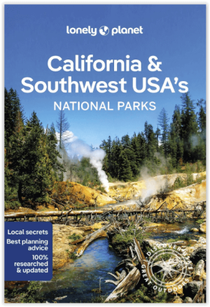
Wandelgids California & Southwest USA's NP's - Lonely Planet • 9781838696061
Wandelgids California & Southwest USA's National Parks Productomschrijving: Lonely Planet's California and Southwest USA's National Parks is uw paspoort voor het meest actuele advies over wat je moet zien en overslaan. Wandel door de Grand Canyon, bewonder Sequoia en jaag op watervallen in Yosemite; allemaal met je vertrouwde reisgenoot. Duik in het hart van de nationale parken van Califor…