

Wandelkaart 507 Moab Oost - Dewey Bridge & Sand Flats - Nat Geo
Colorado River- Dolores River- La Sal Mountains & Mount Peale

Korte omschrijving
Wandelkaarten Utah, USA van National Geographic. Ideaal voor tochten in Verenigde Staten van Amerika (USA).
Wandelkaart Moab Oost - Dewey Bridge & Sand Flats - Nat Geo Productomschrijving: Deze kaart omvat het Oostelijke gedeelte van het grote Moab recreatie gebied van het befamde National Geograp...

Specificaties
- Uitgever: National Geographic
- ISBN-13: 9781566959025
- HOOFDCATEGORIEËN: Wandelkaart
- Activiteiten: Wandelen, Hiking & Trekking
- Auteur: National Geographic
- Regio: Utah, USA
- Land: Verenigde Staten van Amerika (USA)
- TOPO's & Stafkaarten: Topografisch wandelen
- Schaal: 1:90000
- Taal: Engels
Volledige omschrijving
Wandelkaart Moab Oost - Dewey Bridge & Sand Flats - Nat Geo
Productomschrijving: Deze kaart omvat het Oostelijke gedeelte van het grote Moab recreatie gebied van het befamde National Geographic's Trails Illustrated. De kaart biedt een overzicht genummerd 507 op onderstaande kaart van het gebied. Het gebied omvat 3 kaarten met nummers, 505, 506 & 507. De 505 is de kaart die alles in één keer omvat, det 506 omvat het westelijke deel, en de 507 het Oostelijke gedeelte.
Omvat: Sand Flats, Behind the Rocks, Whole Enchilada, Fisher Towers, Fisher Mesa, Slickrock, Ken's Lake Recreation Area, Upper Two Mile trails (State land trails), Manti-La Sal National Forest, and the Windows and Delicate Arch Trails in Arches National Park.
Omvat eveneens: Colorado River, Dolores River, La Sal Mountains, Mount Peale, Salt Valley.
Engelse omschrijving: A premier destination for mountain biking, hiking, whitewater rafting, four-wheeling, and more, Moab offers adventure and recreation in one of the most iconic landscapes in the United States. National Geographic's Trails Illustrated maps of Moab were created in partnership with local land management agencies and adventure experts to provide unmatched detail of the area, with useful up-to-date information to guide and enrich your visit.
On the Moab Area East map, particular attention is given to the area’s extensive mountain bike trail systems, which are clearly mapped and labeled. This includes the major trail systems east of Moab, including Sand Flats, Behind the Rocks, Whole Enchilada, Fisher Towers, Fisher Mesa, Slickrock, Ken's Lake Recreation Area, Upper Two Mile trails (State land trails), Manti-La Sal National Forest, and the Windows and Delicate Arch Trails in Arches National Park. Trails are symbolized by use (hiking, mountain biking, OHV), with trail difficulty indicated for mountain bike trails.
Trail segments are labeled with distances between junctions, and all trailheads and trail junctions are labeled with elevations. 4x4 trails are highlighted in yellow with notes for obstacles and features along the route. Group, primitive, and developed campgrounds are shown with their amenities, and the total number of sites. Colorado River access points and mileages are mapped and labeled for river recreation. Visitor centers, interpretive trails, and scenic overlooks are prominently mapped and labeled with their amenities. OHV, biker, and desert safety tips, laws, and etiquette are also provided.Every Trails Illustrated map is printed on "Backcountry Tough" waterproof, tear-resistant paper. A full UTM grid is printed on the map to aid with GPS navigation.
Other features found on this map include: Colorado River, Dolores River, La Sal Mountains, Mount Peale, Salt Valley.
Locatie op kaart
Gekoppelde artikelen

Wandelkaart 505 Moab Greater Region - Utah USA - Nat Geo • 9781566959001
standaard versieWandelkaart Moab Utah USA - Nat Geo Productomschrijving: Moab is een zeer goed gekende locatie in het Amerikaanse Utah, tevens de hoofdplaats van Grand County. Op toeristisch vlak is Moab gekend voor zijn excursies naar de nabijgelegen natuurgebieden Arches en Canyonlands. Daarnaast is Moab de uitvalsbasis voor rafting op de Colorado river en tochten met de mountainbike, waarbij de Slickro…
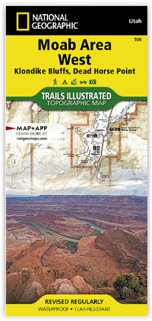
Wandelkaart 506 Moab West - Klondike Bluffs & Dead Horse Point • 9781566959018
standaard versieWandelkaart Moab West - Klondike Bluffs & Dead Horse Point Productomschrijving: Deze kaart omvat het westelijke gedeelte van het grote Moab recreatie gebied van het befamde National Geographic's Trails Illustrated. De kaart biedt een overzicht genummerd 506 op onderstaande kaart van het gebied. Het gebied omvat 3 kaarten met nummers, 505, 506 & 507. De 505 is de kaart die alles in één keer…
Artikelen uit dezelfde regio
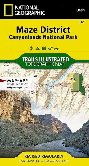
Wandelkaart 312 Canyonlands NP - Maze District - Natgeo • 9781566954624
Topografische Wandelkaart 312 - Canyonlands NP - Natgeo Productomschrijving: Canyonlands National Park is een Amerikaans nationaal park gelegen in het Zuidoosten van Utah, dichtbij de stad Moab. Het park omvat een kleurrijk landschap, geerodeerd in verschillende canyons door het water van de Colorado River. Het park is verdeeld in 4 districten: the Island in the Sky District, the Needles …

Wandelkaart 705 Mount Dutton & Aquarius Plateau - Nat Geo • 9781566954150
Wandelkaart Mount Dutton & Aquarius Plateau - Nat Geo Omvat: Black Butte, Bryce Canyon National Park, Dixie National Forest, Paunsaugunt Plateau, Pink Cliffs, Sevier Plateau. Engelse omschrijving: This map covers the spectacularly scenic stretch in southern Utah of the Powell and Escalante Ranger Districts of Dixie National Forest—from Bicknell Bottom State Wildlife Area in the Northw…

Wandelkaart 214 Zion National Park - Natgeo • 9781566952972
Wandelkaart Zion National Park - Nat Geo Productomschrijving: Ontdek de schoonheid en het geologische wonder van Utah's aller eerste nationale park met National Geographic's Trails Illustrated kaart van Zion National Park. Deze deskundige kaart combineert ongeëvenaarde details met nuttige informatie om u te helpen het meeste uit uw bezoek te halen, inclusief een kaart met details over de b…
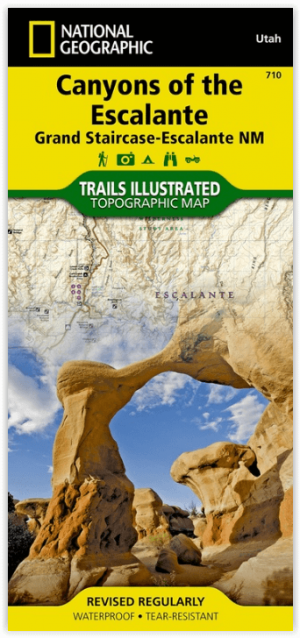
Wandelkaart 710 Canyons of the Escalante NP - Nat Geo • 9781566953245
Wandelkaart Canyons of the Escalante NP - Nat Geo Productomschrijving: Dit National monument omvat drie belangrijke gebieden, de Grand Staircase, het Kaiparowits Plateau, en de Canyons van de Escalante. De regio omvat de steden van Big Water, Glendale en Kanab in Utah in het zuidwesten en de steden van Escalante en Boulder in het noordoosten Omvat: Box-Death Hollow Wilderness, Capitol …

Wandelkaart 714 Grand Staircase - Natgeo • 9781566956864
TOPO Wandelkaart 714 - Grand Staircase - Utah - Nat Geo Productomschrijving: Grand Staircase-Escalante National Monument is een gebied van 7571 km² in het zuiden van Utah in de Verenigde Staten. Er zijn drie belangrijke gebieden: de Grand Staircase, het Kaiparowits Plateau, en de Canyons van de Escalante. Engelse omschrijving: Outdoor enthusiasts seeking to enjoy the abundance of publ…