

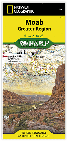
Wandelkaart 505 Moab Greater Region - Utah USA - Nat Geo
De perfecte uitvalsbasis voor de NP Arches en Canyonlands
Korte omschrijving
Wandelkaarten Utah, USA van National Geographic. Ideaal voor tochten in Verenigde Staten van Amerika (USA).
Wandelkaart Moab Utah USA - Nat Geo Productomschrijving: Moab is een zeer goed gekende locatie in het Amerikaanse Utah, tevens de hoofdplaats van Grand County. Op toeristisch vlak is Moab ge...

Specificaties
- Uitgever: National Geographic
- ISBN-13: 9781566959001
- HOOFDCATEGORIEËN: Wandelkaart
- Activiteiten: Wandelen, Hiking & Trekking
- Auteur: National Geographic
- Regio: Utah, USA
- Land: Verenigde Staten van Amerika (USA)
- TOPO's & Stafkaarten: Topografisch wandelen
- Schaal: 1:90000
- Taal: Engels
Volledige omschrijving
Wandelkaart Moab Utah USA - Nat Geo
Productomschrijving: Moab is een zeer goed gekende locatie in het Amerikaanse Utah, tevens de hoofdplaats van Grand County. Op toeristisch vlak is Moab gekend voor zijn excursies naar de nabijgelegen natuurgebieden Arches en Canyonlands. Daarnaast is Moab de uitvalsbasis voor rafting op de Colorado river en tochten met de mountainbike, waarbij de Slickrock Trail waarschijnlijk de bekendste tocht is.
Deze kaart omvat het volledige gedeelte van het grote Moab recreatie gebied van het befamde National Geographic's Trails Illustrated. De kaart biedt een overzicht genummerd 505 op onderstaande kaart van het gebied. Het gebied omvat 3 kaarten met nummers, 505, 506 & 507. De 505 is de kaart die alles in één keer omvat, det 506 omvat het westelijke deel, en de 507 het Oostelijke gedeelte.
Omvat: Magnificent Seven, Rodeo, Navajo Rocks, Klondike Bluffs, Bar M (Moab Brands), Amasa Back, Klonzo, Sand Flats, Sovereign, and Whole Enchilada. The map includes all of Arches National Park and Dead Horse Point State Park, along with sections of Canyonlands National Park, Manti-La Sal National Forest, Bears Ears National Monument, Labyrinth Canyon Wilderness,
Omvat eveneens: Colorado River, Green River, Dolores River, Hatch Point, La Sal Mountains, Mineral Point, Mount Peale, Salt Valley.
Engelse omschrijving: A premier destination for mountain biking, hiking, whitewater rafting, four-wheeling, and more, Moab offers adventure and recreation in one of the most iconic landscapes in the United States. National Geographic's Trails Illustrated maps of Moab were created in partnership with local land management agencies and adventure experts to provide unmatched detail of the area, with useful up-to-date information to guide and enrich your visit.
The Moab Greater Region map shows all of the major trail systems, public lands, and recreation sites in and around Moab. Particularly useful for motorized off-road vehicle use, it features 29 highlighted 4x4 trails, with trail segments labeled with mileage between intersections. The region’s 10 major mountain bike trail areas are clearly mapped and labeled including: Magnificent Seven, Rodeo, Navajo Rocks, Klondike Bluffs, Bar M (Moab Brands), Amasa Back, Klonzo, Sand Flats, Sovereign, and Whole Enchilada. The map includes all of Arches National Park and Dead Horse Point State Park, along with sections of Canyonlands National Park, Manti-La Sal National Forest, Bears Ears National Monument, Labyrinth Canyon Wilderness, and dozens of BLM Special Recreation Management Areas.
Trails are symbolized by use types, with trail difficulty listed for mountain bike and 4x4 trails. Trail system comparison charts are included for 4x4 and mountain bike areas to help choose areas to explore given time, skill, and equipment constraints. Colorado River access points and mileages are mapped and labeled for river recreation. Visitor centers, campgrounds, interpretive trails, and scenic overlooks are prominently mapped and labeled with their amenities. OHV, biker, and desert safety tips, laws, and etiquette are also provided.
Every Trails Illustrated map is printed on "Backcountry Tough" waterproof, tear-resistant paper. A full UTM grid is printed on the map to aid with GPS navigation.
Other features found on this map include: Colorado River, Green River, Dolores River, Hatch Point, La Sal Mountains, Mineral Point, Mount Peale, Salt Valley.
Locatie op kaart
Gekoppelde artikelen
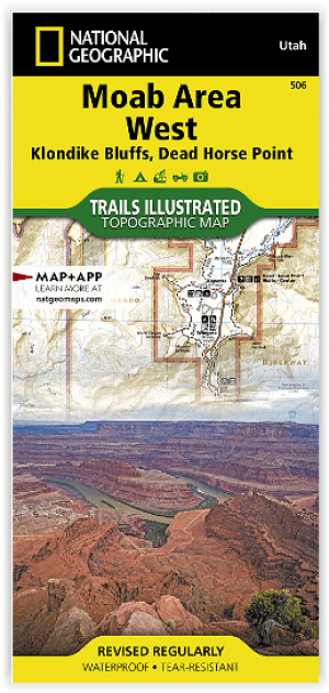
Wandelkaart 506 Moab West - Klondike Bluffs & Dead Horse Point • 9781566959018
standaard versieWandelkaart Moab West - Klondike Bluffs & Dead Horse Point Productomschrijving: Deze kaart omvat het westelijke gedeelte van het grote Moab recreatie gebied van het befamde National Geographic's Trails Illustrated. De kaart biedt een overzicht genummerd 506 op onderstaande kaart van het gebied. Het gebied omvat 3 kaarten met nummers, 505, 506 & 507. De 505 is de kaart die alles in één keer…
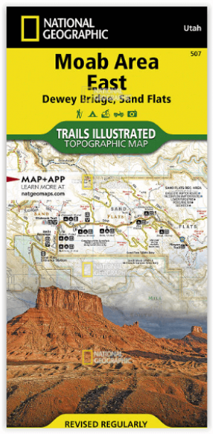
Wandelkaart 507 Moab Oost - Dewey Bridge & Sand Flats - Nat Geo • 9781566959025
standaard versieWandelkaart Moab Oost - Dewey Bridge & Sand Flats - Nat Geo Productomschrijving: Deze kaart omvat het Oostelijke gedeelte van het grote Moab recreatie gebied van het befamde National Geographic's Trails Illustrated. De kaart biedt een overzicht genummerd 507 op onderstaande kaart van het gebied. Het gebied omvat 3 kaarten met nummers, 505, 506 & 507. De 505 is de kaart die alles in één kee…
Artikelen uit dezelfde regio
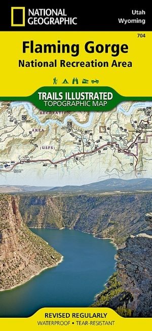
Wandelkaart 704 Flaming Gorge- Recreational Area - Utah • 9781566954143
TOPO Wandelkaart 704 - Flaming Gorge- Recreational Area - Nat Geo Productomschrijving: Het Flaming Gorge National Recreation Area is een gebied rond het Flaming Gorge Reservoir en de Green River. Het ligt voor het grootste deel in het zuidwesten van de staat Wyoming en voor het overige deel in het noordoosten van de staat Utah van de Verenigde Staten. Deze National Recreation Area ligt ten…

Wandelkaart 709 Wasatch Front North Utah - Nat Geo • 9781566953702
Wasatch Front North - Utah - Nat Geo Omvat: Bountiful, Centerville, Cottonwood Heights, Currant Creek Peak, Daniels Canyon, Deer Creek Reservoir, Draper, Highland, Holladay, Lindon, Lone Peak Wilderness, Midvale, Mount Olympus Wilderness, Mount Timpanogos, Mount Timpanogos Wilderness, Murray, North Salt Lake, Orem, Pleasant Grove, Provo, Provo River, Rockport Lake, Salt Lake City, South Sa…

Reisgids Utah - Insight guides ENG • 9781839053252
Reisgids Utah - Insight guides ENG Productomschrijving: Deze Insight Guide is een rijk geïllustreerde inspirerende reisgids voor Utah en een prachtig souvenir van uw reis. Perfect voor reizigers die op zoek zijn naar een diepere duik in de geschiedenis en cultuur van de bestemming en ideaal om u te inspireren en te helpen bij het plannen van uw reis. Met zijn grote selectie van beziens…

Reisgids Zuidwest Amerika NED - Insight Guides • 9789066554801
Zuidwest Amerika - Insight Guides Productomschrijving: Zuidwest-Amerika is een fenomenaal mooi gebied dat zich uitstrekt over verschillende staten. Dit boek voert u mee door Arizona, New Mexico, Zuid-Utah en delen van Colorade, Texas en Nevada, inclusief Las Vegas. De auteurs en fotografen laten u op de bekende, onovertroffen en veelvuldig bekroonde Insight Guide -wijze in woord en bee…
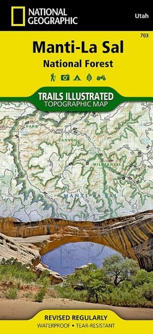
Wandelkaart 703 Manti-La Sal National forest - Natgeo • 9781566953771
TOPO Wandelkaart 703 - Manti-La Sal National forest - Nat Geo Productomschrijving: Het Manti–La Sal National Forest omvat meer dan 4,900 km, en is gelegen in centraal- en zuidoostelijke deel van Utah en het extreme westelijke deel van Colorado. Engelse omschrijving: Expertly researched and created in cooperation with the U.S. Forest Service, Bureau of Land Management and others, Natio…