

Wandelkaart 709 Wasatch Front North Utah - Nat Geo
Bountiful- Centerville- Cottonwood Heights & Currant Creek Peak

Korte omschrijving
Wandelkaarten Utah, USA van National Geographic. Ideaal voor tochten in Verenigde Staten van Amerika (USA).
Wasatch Front North - Utah - Nat Geo Omvat: Bountiful, Centerville, Cottonwood Heights, Currant Creek Peak, Daniels Canyon, Deer Creek Reservoir, Draper, Highland, Holladay, Lindon, Lone Pea...

Specificaties
- Uitgever: National Geographic
- ISBN-13: 9781566953702
- HOOFDCATEGORIEËN: Wandelkaart
- Activiteiten: Wandelen, Hiking & Trekking
- Auteur: National Geographic
- Regio: Utah, USA
- Land: Verenigde Staten van Amerika (USA)
- Waterafstotende kaart: Nat Geo waterproof series
- TOPO's & Stafkaarten: Topografisch wandelen
- Schaal: 1:75000
- Taal: Engels
Volledige omschrijving
Wasatch Front North - Utah - Nat Geo
Omvat: Bountiful, Centerville, Cottonwood Heights, Currant Creek Peak, Daniels Canyon, Deer Creek Reservoir, Draper, Highland, Holladay, Lindon, Lone Peak Wilderness, Midvale, Mount Olympus Wilderness, Mount Timpanogos, Mount Timpanogos Wilderness, Murray, North Salt Lake, Orem, Pleasant Grove, Provo, Provo River, Rockport Lake, Salt Lake City, South Salt Lake, Spanish Fork, Springville, Strawberry Reservoir, Twin Peaks Wilderness, Uinta National Forest, Wasatch National Forest.
Engelse omschrijving: Year-round activities abound along Utah's Wasatch Front region. National Geographic's Trails Illustrated map of Wasatch Front North provides unmatched detail of the northern half of this region to meet the needs of amateur and experienced outdoor enthusiasts alike. Expertly researched and created in partnership with local land management agencies, this map features key points of interest including Salt Lake City; Strawberry and Deer Creek reservoirs; Strawberry River; Heber City; Timpanogos Cave National Monument; Orem; Utah Lake; Jordanelle, Rockport, East Canyon, and Wasatch Mountain state parks; and Weber River.
This map can guide you off the beaten path and back again with miles of mapped trails including a portion of the Great Western Historic Trail and the Historic Union Pacific Rail Trail. Trail use designations and mileages are clearly marked. Alpine Loop, Big Cottonwood Canyon, and other scenic byways are noted for those taking in the scenery by car. Picnic sites in Mill Creek and Big Cottonwood canyons are marked and a handy camping guide shows campground locations, elevation, amenities, and number of sites at each. Some of the many recreation features include boat launches, trailheads, interpretive trails, swimming and fishing areas, snow parks, and ski areas. The map base includes contour lines and elevations for summits, passes and many lakes.
Every Trails Illustrated map is printed on "Backcountry Tough" waterproof, tear-resistant paper. A full UTM grid is printed on the map to aid with GPS navigation.
Locatie op kaart
Artikelen uit dezelfde regio
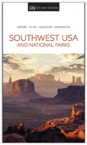
Reisgids USA Southwest & National Parks - DK Eyewitness • 9780241365519
USA Southwest & National Parks Omvat: Arizona, Las Vegas, Southern Utah, the Four Corners & New Mexico. Productomschrijving: Staar naar de diepten van de Grand Canyon, ervaar de glitter en glamour van de Las Vegas strip, beklim de rotsachtige overspanningen van Arches National Park of wandel door het historische Santa Fe: alles wat u moet weten is overzichtelijk weergegeven in kleurgec…

Wandelkaart 211 Arches National Park- Utah - Natgeo • 9781566953276
TOPO Wandelkaart 211 - Trails Illustrated Arches NP - Utah Productomschrijving: Het Arches National Park is een iets kleiner exemplaar onder die van Amerika vergeleken uiteraard. Het Park is beroemd omwille van de vele speciale rotsformaties en balancerende rotsen zoals de Courthouse Towers, Windows Section, Fiery Furnace, Devils Garden, Klondike Bluffs en de Balanced Rock. Er zijn meer da…
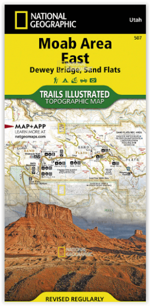
Wandelkaart 507 Moab Oost - Dewey Bridge & Sand Flats - Nat Geo • 9781566959025
Wandelkaart Moab Oost - Dewey Bridge & Sand Flats - Nat Geo Productomschrijving: Deze kaart omvat het Oostelijke gedeelte van het grote Moab recreatie gebied van het befamde National Geographic's Trails Illustrated. De kaart biedt een overzicht genummerd 507 op onderstaande kaart van het gebied. Het gebied omvat 3 kaarten met nummers, 505, 506 & 507. De 505 is de kaart die alles in één kee…
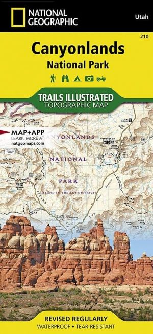
Wandelkaart 210 Canyonlands NP - Utah - Natgeo • 9781566953269
TOPO Wandelkaart 210 - Canyonlands NP - Utah - Nat geo Productomschrijving: Canyonlands National Park is een Amerikaans nationaal park gelegen in het Zuidoosten van Utah, dichtbij de stad Moab. Het park omvat een kleurrijk landschap, geerodeerd in verschillende canyons door het water van de Colorado River. The park is verdeeld in 4 districten: the Island in the Sky District, the Needles d…

Wandelkaart 267 Capitol Reef NP Utah - Natgeo • 9781566956703
Wandelkaart Capitol Reef NP Utah - Nat Geo Productomschrijving: Capitol Reef National Park is een verborgen juweel gelegen in de Waterpocket Fold, een rimpel in de aarde die zich uitstrekt bijna 100 mijl door het zuiden-centrale rode rots land van Utah. National Geographic's Trails Illustrated kaart van Capitol Reef biedt ongeëvenaarde details van het park om tegemoet te komen aan de behoe…