

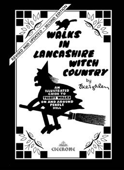
Wandelgids Lancashire Witch Country - Cicerone
Het wilde en prachtige landschap van Lancashire in al zijn glorie
Korte omschrijving
Wandelgidsen Lanacshire, England van CICERONE Press. Ideaal voor tochten in England.
Wandelgids - Lancashire Witch Country - Cicerone Productomschrijving: De gids van 30 rondwandelingen zijn allemaal ongeveer 6 mijl in lengte, die het wilde en prachtige landschap van Lancash...

Specificaties
- Uitgever: CICERONE Press
- ISBN-13: 9781852844462
- HOOFDCATEGORIEËN: Wandelgids
- Activiteiten: Wandelen, Hiking & Trekking
- Regio: Lanacshire, England
- Land: England
- Editie: 2
- Taal: Engels
- De Engelse Graafschappen: Lancashire
Volledige omschrijving
Wandelgids - Lancashire Witch Country - Cicerone
Productomschrijving: De gids van 30 rondwandelingen zijn allemaal ongeveer 6 mijl in lengte, die het wilde en prachtige landschap van Lancashire toont in al zijn glorie. Ze zijn ideaal als halve dag familie wandelingen. Sinds 1612, toen tien Pendle heksen naar het schavot gingen, heeft dit mysterieuze gebied een magische uitstraling doordrongen. Geschreven en geïllustreerd in de auteur zijn unieke stijl.
Engelse omschrijving: The guidebook's 30 circular walks are all about 6 miles in length, covering the wild and beautiful Lancashire countryside. They are ideal as half-day family rambles. Since 1612, when ten Pendle witches went to the scaffold, a magical aura has pervaded this mysterious area. Hand written and illustrated.
Seasons:
All year round. Weather can change quickly on the tops: take suitable clothing, map and compass for the higher routes.
Centres:
Pendle, Downham, Barley, Whalley, Gisburn, Colne, Barnoldswick, Clitheroe.
Difficulty:
Half-day walks suitable for all. Bad weather will make the higher routes more challenging.
Must See:
Pendle Heritage Centre, Downham, Waddington, summit of Pendle Hill; river- and canal-side walks; Kelbrook Moor.
Locatie op kaart
Artikelen uit dezelfde regio
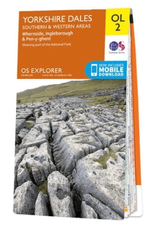
Wandelkaart OL02 Yorkshire Dales - South& Western areas - OS • 9780319263310
Wandelkaart OL2 Yorkshire Dales - South& Western areas - OS Productomschrijving: Yorkshire Dales Nationale Park - South& Western areas, Whernside, Ingleborough & Pen-y-ghent, The AONB Area's of Forest of Bowland & Nidderdale AONB. Yorkshire three peaks, The Devils Bridge at Kirkby Lonsdale, Leeds to Liverpool Canal at Skipton, The Pennine Way, Settle, and Old Town. Omvat: Whernside, I…
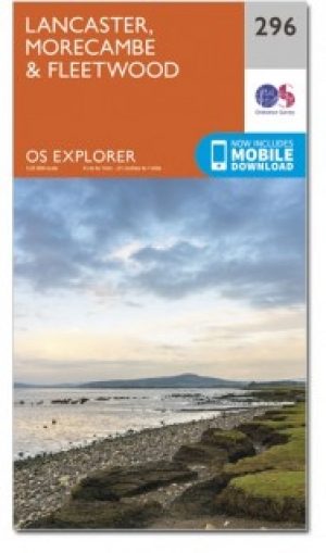
Wandelkaart 296 Lancaster- Morecambe & Fleetwood - OSI • 9780319471685
Wandelkaart Lancaster- Morecambe & Fleetwood - Lancaster Productbeschrijving: Kaart nummer 296 dekt Lancaster, Morecambe en Fleetwood. Hoogtepunten zijn Heysham, Lancaster Castle en Knott End-on-Sea. Omvat ook Overton en Middleton. De OS Explorer kaart voor Lancaster, Morecambe & Fleetwood is beschikbaar in zowel de standaard papieren versie als de weerbestendige 'Actief' versie. Produ…

Wandelgids The Ribble way - Cicerone • 9781786310910
Wandelgids The Ribble way - Cicerone Productomschrijving: Deze gids beschrijft de Ribble Way, een route van 116 km die de Ribble vallei volgt, van de monding van de rivier bij Preston tot de bron van de rivier bij Cam Fell in de Yorkshire Dales. Het boek bevat een volledige routebeschrijving opgedeeld in 7 overzichtelijke etappes, met suggesties voor dagwandelaars. Engelse omschr…

Wandelgids Lune Valley & Howgills Lancashire - Cicerone • 9781852849160
Wandelgids - Lune Valley & Howgills Lancashire - Cicerone Productomschrijving: Gelegen pal tussen 3 natuurgebieden, en bijgevolg ook de perfecte uitvalsbasis voor wie van de natuur houd. Aan de ene zijde ligt het wereldbekende "Lake District National Park", daar rechts onder het beroemde "Yorkshire Dales National Park", en links onder "The forest of Bowland AONB". Voor wie niet thuis is in…

Wandelgids 15 Short Walks in Ribble Valley - Cicerone • 9781786312365
15 Short Walks in Ribble Valley - Cicerone Press Productomschrijving: Would you like to explore the best of the Ribble Valley? This guidebook covers 15 of the best short walks in the area, including Ribchester, Longridge, Dinckley, Whalley, Pendle, Clitheroe, Waddington and Downham. Why choose this guidebook? - Walks under three hours, plus one challenge route - Easy to follow w…