

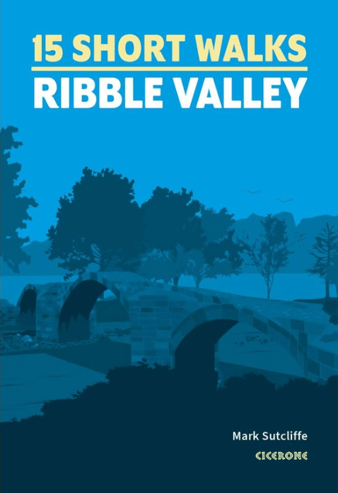
Wandelgids 15 Short Walks in Ribble Valley - Cicerone
Ribchester- Longridge- Dinckley- Whalley- Pendle- Clitheroe
Korte omschrijving
Wandelgidsen North West England en Lanacshire, England van CICERONE Press. Ideaal voor tochten in England.
15 Short Walks in Ribble Valley - Cicerone Press Productomschrijving: Would you like to explore the best of the Ribble Valley? This guidebook covers 15 of the best short walks in the area, ...

Specificaties
- Uitgever: CICERONE Press
- ISBN-13: 9781786312365
- HOOFDCATEGORIEËN: Wandelgids
- Activiteiten: Wandelen, Hiking & Trekking
- Auteur: Mark Sutcliffe
- Regio: Lanacshire, England, North West England
- Land: England
- Regionale parken: Forest of Bowland, England
- Editie: 1
- Taal: Engels
Volledige omschrijving
15 Short Walks in Ribble Valley - Cicerone Press
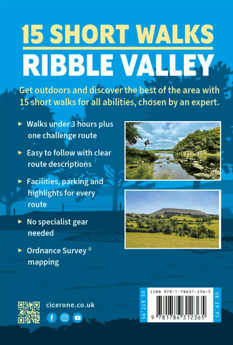
Productomschrijving: Would you like to explore the best of the Ribble Valley? This guidebook covers 15 of the best short walks in the area, including Ribchester, Longridge, Dinckley, Whalley, Pendle, Clitheroe, Waddington and Downham.
Why choose this guidebook?
- Walks under three hours, plus one challenge route
- Easy to follow with clear route descriptions
- Facilities, parking and highlights for every route
- No specialist gear needed, walk all year round
- Ordnance Survey mapping
- Cicerone’s Short Walks guidebooks contain everything you need to get outdoors and discover the best of an area. The routes are perfect if you’re new to walking or looking for something you can enjoy with the whole family. Let the adventures begin!

Artikelen uit dezelfde regio
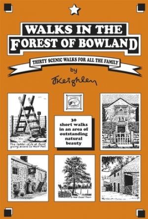
Wandelgids Forest of Bowland walking guide - Cicerone • 9781852842512
Wandelgids - Forest of Bowland walking guide - Cicerone Productomschrijving: Gids voor wandelingen in het Forest of Bowland, Lancashire, Noord-Engeland, een Area of Outstanding Natural Beauty. 30 routes in het hele Forest met inbegrip van de zachte uitlopers in het zuiden en noorden, op de top van de moerassen en in de valleien. De Forest of Bowland, is een wilde en dunbevolkte regio van z…

Wandelkaart 102 Preston & Blackpool- Lancashire - OSI • 9780319262009
Wandelkaart Preston & Blackpool- Lancashire - OSI Productbeschrijving: OS Landranger kaart 102 bestrijkt het gebied rond Preston & Blackpool. De bruisende badplaats & Blackpool's eigenzinnige vibes heeft zijn sporen nagelaten, sindsdien komen de toeristen als sinds vele jaren. Attracties zoals het pleasure beach, Blackpool Tower en de wereld beroemde illuminations onderscheiden Blackpool v…

Wandelgids 015 Pathfinder guides Yorkshire Dales NP - OS • 9780319090404
Wandelgids Yorkshire Dales NP - OS Productomschrijving: Pathfinder Yorkshire Dales covering parts of the National Park, Ribblesdale and Swaledale. This selection offers interest, regional variety and balance of routes in the Yorkshire Dales providing the best walks in the area. From an easy stroll through Ingleton Waterfalls to the much more challenging walks in Gunnerside, this volume co…
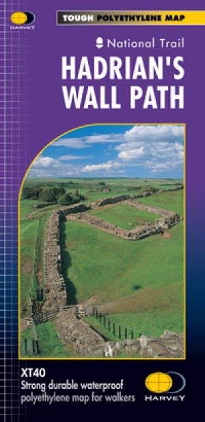
Wandelkaart Hadrian's Wall Path - Harvey maps • 9781851374380
Wandelkaart Hadrian's Wall Path - Harvey maps Productomschrijving: Kaart van de gehele Hadrians Way op één kaart. 130km (81 mijl) van de Solway Coast naar Newcastle. Met de gelegenheid voor een bezoek aan een groot aantal historische plekken langs de weg. Informatie over het vinden van accommodatie, camping, voedsel. Met routebeschrijving naar de start van de route. Nieuwe generatie H…

Wandelgids Lune Valley & Howgills Lancashire - Cicerone • 9781852849160
Wandelgids - Lune Valley & Howgills Lancashire - Cicerone Productomschrijving: Gelegen pal tussen 3 natuurgebieden, en bijgevolg ook de perfecte uitvalsbasis voor wie van de natuur houd. Aan de ene zijde ligt het wereldbekende "Lake District National Park", daar rechts onder het beroemde "Yorkshire Dales National Park", en links onder "The forest of Bowland AONB". Voor wie niet thuis is in…