

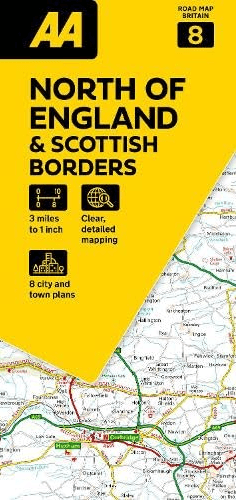
Landkaart Wegenkaart 08 Engeland Noord & Scottish Borders
Road Map North of England & Scottish Borders
Korte omschrijving
Wegenkaart Engeland Noord & Scottish Borders - AA Road Maps Productomschrijving: AA Road Map North of England & Scottish Borders is a practical and slimline, foldable map from the experts at...

Specificaties
- Uitgever: AA Publishing
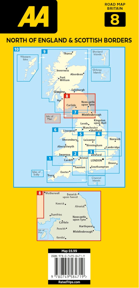
- ISBN-13: 9780749584719
- HOOFDCATEGORIEËN: Wegenkaart - Landkaart
- Activiteiten: Street/Road maps & city plans
- Regio: North & North East England
- Land: England, Schotland
- Schaal: 1:200000
- Taal: Engels
- Reeks/Serie: AA Road maps Britain
Volledige omschrijving
Wegenkaart Engeland Noord & Scottish Borders - AA Road Maps
Productomschrijving: AA Road Map North of England & Scottish Borders is a practical and slimline, foldable map from the experts at the AA. Encased in a durable, weatherproof cover, the mapping is produced at a scale of 3 miles to 1 inch (1:200,000 / 2km to 1cm) combining clear design, an easy-to-read scale and more road detail to ensure that you never lose your way.
Also included are toll points, service areas, road numbers, motorways, dual carriageways and wide narrow local roads, National Parks and other places of interest.
• Fully updated speed camera locations, plus speed cameras with speed limits shown
• Clear place name index
• 7 city and town plans
• Caravan & camping sites are pinpointed on the mapping
• National Parks and places of interest are also highlighted
• National Trust, English Heritage, Scottish and Welsh Heritage sites shown
Road Map North of England & Scottish Borders is one in a series of expertly produced road maps of Britain from the AA.
Overzichtskaarten

Wegenkaarten Landkaarten Road Maps Britain 1 > 10
Wegenkaarten Landkaarten Road Maps Britain 1 > 10
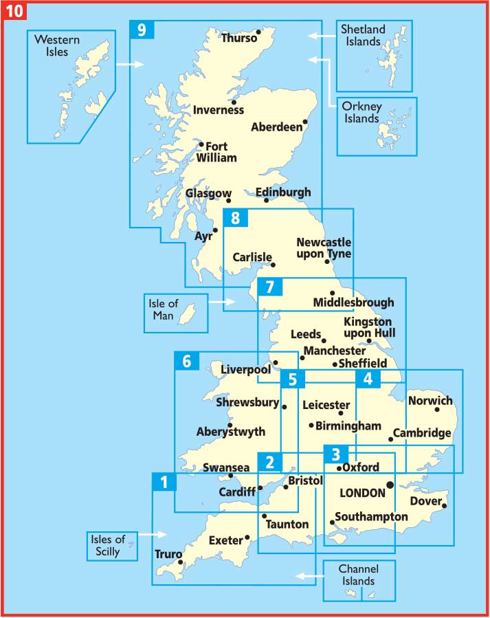
Producten op de overzichtskaart
Klik op een product om naar de detailpagina te gaan.
- Landkaart Wegenkaart 01 West Country & Wales Zuid - AA Road Maps
- Landkaart Wegenkaart 02 Engeland, Centraal Zuid - AA Road Maps
- Landkaart Wegenkaart 03 Engeland Zuid Oost - AA Road Maps
- Landkaart Wegenkaart 04 East Anglia - AA Road Maps
- Landkaart Wegenkaart 05 Midlands & Engeland Centraal - AA Road
- Landkaart Wegenkaart 06 Wales - AA Road Maps
- Landkaart Wegenkaart 07 Engeland Noord - AA Road Maps
- Landkaart Wegenkaart 08 Engeland Noord & Scottish Borders
- Landkaart Wegenkaart 09 Schotland - AA Road Map
- Landkaart Wegenkaart 10 Groot-Brittannië - AA Road Map
Artikelen uit dezelfde regio
Wandelgids The Coast to Coast Map Booklet - Cicerone • 9781852849269
Wandelgids - The Coast to Coast Map Booklet - Cicerone Productomschrijving: Deze wandelgids toont u de 300km lange Coast to Coast Walk, een populaire interlokale trail in Noord-Engeland, die vertrekt uit St Bees Head in Cumbria naar Robin Hood's Bay aan de kust van Yorkshire. Product description: This map booklet shows the 190 mile (300km) Coast to Coast Walk, a popular long distance …

Wandelgids North Yorkshire historic walks - Cicerone • 9781852843892
Wandelgids - North Yorkshire historic walks - Cicerone Productomschrijving: Een gids over historische wandelingen in North Yorkshire, in 20 meestal circulaire routes. Zij brengen u van open heidegebied en blootgestelde delen van heuvel en kliffen naar de meer beschutte dales en de straten van York. Wandelingen bevatten Skipton Castle, Ripon en Fountains Abbey, Ripley Castle, Castle Howard,…
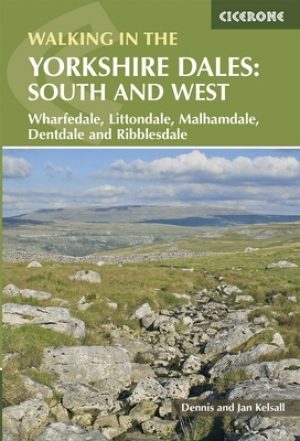
Wandelgids Yorkshire Dales South & West walking guide- Cicerone • 9781852848859
Wandelgids - Yorkshire Dales South & West walking guide- Cicerone Productomschrijving: Deel 2 van een 2-delige gidsen set omvat 44 wandelingen in het zuiden en het west van de Yorkshire Dales, incl het 23km lange "Three Peak cicuit" door Pen-y-Ghent, Whernside & Ingleborough. De andere, meestal bezienswaardige routes van ongeveer 13km ovatten de regio's tussen Sedbergh, Kirkby Lonsdale, Se…
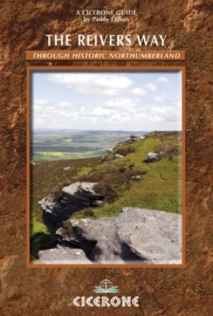
Wandelgids Reivers Way through historic Northumberland- Cicerone • 9781852844981
Wandelgids- Reivers Way through historic Northumberland- Cicerone Productomschrijving: Een handige zakformaat handleiding voor iedereen die van plan is om de Reivers Way af te lopen. Volg in de voetstappen van de border reivers op deze 150 mijl lange route, die loopt van Corbridge naar Alnmouth. De reivers route dwaalt door wilde en schilderachtige delen van Northumberland, en kan worden g…
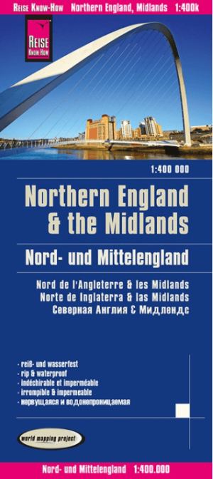
Landkaart Wegenkaart Engeland Noord & Midlands - Reise Know-How • 9783831774364
Wegenkaart Engeland Noord & Midlands - Reise Know-How Productomschrijving: De Reise Know-How wegenkaart van Engeland Noord & Midlands is een betrouwbare, gedetailleerde en duurzame landkaart voor wie Engeland Noord & Midlands zelfstandig wil verkennen. Deze hoogwaardige reiskaart is ideaal voor gebruik tijdens een rondreis met de auto, camper, motor of fiets en biedt alle informatie die j…