

Regio
Taal
Editie
Schaal
Auteur:
Reeks/Serie:
Lange afstand wandelroutes
Historische wandelroutes
Bedevaart routes
Nationale parken
Regionale parken
AONB - Area of Outstanding Beauty/National Landscape
UNESCO werelderfgoed
TOPO's & Stafkaarten
Toepasselijke bergketen
HOOFDCATEGORIEËN
Uitgever

 Wandelen in Engeland
Wandelen in Engeland ligt naast Wales, Schotland en Noord-Ierland één van de 4 gebieden die samen het Verenigd Koninkrijk vormen. Het volledige landmassa van dit grote eiland wordt meestal aangeduid met de naam "Groot-Brittannië". In de volksmond wordt echter heel vaak over een uitstapje naar "Engeland" gesproken als men in het algemeen ergens in Groot-Brittannië is geweest. Interessant is de collectie van de 40 meest Iconische wandelroutes van Europa, de pagina is gloednieuw.
Bij Bibliotrek bedoelen we met Engeland wel degelijk het specifieke gebied. De Wandelgidsen Engeland vallen onder de grootste categorieën die Bibliotrek heeft. We hebben meer dan 1.200 wandelgidsen van verschillende uitgevers zoals Harper Collins, Sunflower books, het zeer gekende Cicerone, Elmar, en de nationale uitgever AA. Dit zijn stuk voor stuk professionele uitgevers met schitterende wandelgidsen voor Engeland. Het land bestaat uit vele graafschappen, die ten tijde van de Angelsaksen "Shires" werden genoemd. Dit blijkt nog uit de namen van een groot aantal graafschappen zoals Bedfordshire, Hampshire enz.
In Engeland hebben ze er aan nationale sport van gemaakt, en dat met de uitzinnige "National Trails". Dit zijn wandelroutes van formaat, die je natuurlijk niet enkel met een Wandelgids kan doen, maar ook met onze Wandelkaarten Engeland. De National Trails zijn heel bekend en vormen zelfs de bakermatr van de Engelse Wandelsport. Om er maar enkele te noemen:
The South Downs Way, door Sussex van Winchester naar Eastbormne, door The South Downs AONB.
The South West Coast Path, rond South West England, van Minehead bij Exmoor NP tot Pool in Dorset
The Yorkshire Wolds Way, van Hessle, East Riding of Yorkshire, tot Filey, North Yorkshire, 127 Km.

Wandelgids Hadrian's Wall Path - Rucksack Readers • 9781913817312
Wandelgids Hadrian's Wall Path Productomschrijving: Hadrian's Wall Path runs for 86 miles (135 km) between Bowness-on-Solway and Wallsend (Newcastle) along the line of the Roman Wall completed in AD122 under the Emperor Hadrian. This National Trail crosses northern England from Irish Sea to North Sea and offers many chances to look at the forts, milecastles and interpretation centres withi…

Wandelgids Cheddar & the Mendips - 15 short walks - Cicerone • 9781786312549
Wandelgids 15 short walks Cheddar & the Mendips - Cicerone Productomschrijving: Would you like to explore the best of Cheddar and the Mendips? This guidebook covers 15 of the best short walks in the area (between 3 and 10km, all under three hours), including Crook Peak and King's Wood, Beacon Batch and Velvet Bottom, Ebbor Gorge and Ebbor Wood, Cheddar Gorge North and Piney Sleights and th…
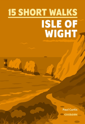
Wandelgids Isle of Wight, 15 short walks - Cicerone Press • 9781786312556
Wandelgids Isle of Wight, 15 short walks - Cicerone Productomschrijving: Would you like to explore the best of the Isle of Wight? This guidebook covers 15 of the best short walks in the area (all under three hours), including The Needles, Carisbrooke Castle, Quarr Abbey and the Tennyson Trail. Why choose this guidebook? - Easy to moderate walks suitable for almost everyone - Shor…

Wandelgids Peak Bagging in Peak District NP - Vertebrate Publ. • 9781839812675
Peak Bagging in Peak District NP - Vertebrate Productomschrijving: This number includes 32 routes designed to complete the best 121 Peak District peaks and Ethels (like the Scotisch Munro's) in the most efficient way. In Peak Bagging Peak District, local author Anna Paxton guides you to 121 of the most rewarding summits in the national park, including the 74 accessible Ethels plus 47 other…
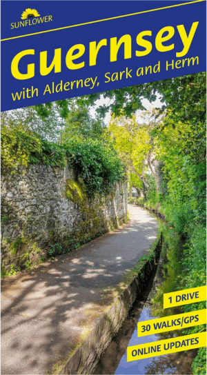
Wandelgids Guernsey with Alderney Sark & Herm - Sunflower books • 9781856915755
Guernsey with Alderney Sark & Herm - Sunflower books Productomschrijving: All the walks have been rechecked for this Sixth edition of Sunflower’s guide to Guernsey, Alderney and Sark. The maps have all been redrawn using Openstreet mapping with reference to GPS tracking, and free downloadable GPS tracks are now available for all the walks in the guide. An ideal introduction for the fir…
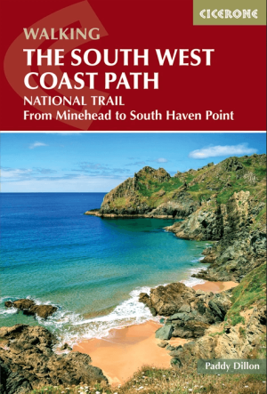
Wandelgids South West Coast Path - Cicerone Press • 9781786313164
South West Coast Path (SWCP) - Cicerone Productomschrijving: Guidebook to walking the entire South West Coast Path National Trail. The route runs for 630 miles from Minehead to Poole along the north Devon, Cornish, south Devon and Dorset coastline. Divided into 45 stages, this long-distance coastal trek could be completed within 4 weeks, or walked in sections. Guide includes maps and essen…
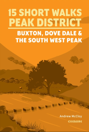
Wandelgids 15 short walks in the Peak District NP - Cicerone • 9781786312594
15 short walks in the Peak District NP - Cicerone Productomschrijving: Discover the quieter corners and dramatic limestone scenery of the Peak District with this collection of 15 short walks exploring Buxton, Dove Dale and the South West Peak. From the iconic stepping stones of Dove Dale and the striking rock formations of The Roaches to hidden valleys, caves and peaceful moorland, these r…
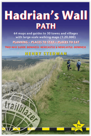
Wandelgids Hadrian's Wall Path - Trailblazer Publications • 9781912716630
Wandelgids Hadrian's Wall - Trailblazer Productomschrijving: Hadrian's Wall Path - Two-way guide Bowness - Newcastle and Newcastle - Bowness - 64 trail maps + town plans, 12 stage maps with profiles and 2 overview maps - 60 colour photos + colour flower guide Hadrian's Wall Path, 84 miles (135 km) from end to end, follows the course of northern Europe's largest surviving Roman mo…
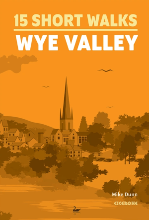
Wandelgids Wye Valley 15 Short Walks - Cicerone Press • 9781786312891
Wandelgids 15 Short Walks in Wye Valley - Cicerone Press Productomschrijving: Discover 15 of the best short walks in the Wye Valley, carefully chosen to showcase the area’s peaceful riversides, ancient woodland, historic churches and Iron Age hillforts, all in under three hours. With no technical terrain and only short climbs, these routes are ideal for families, casual walkers and anyone…
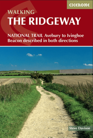
Wandelgids Ridgeway National Trail - Cicerone Press • 9781786312914
Ridgeway National Trail - Cicerone Productomschrijving: Guidebook to the Ridgeway National Trail, an 87 mile (139km) route through the south of England from Avebury in Wiltshire to Ivinghoe Beacon in Buckinghamshire. Accompanied by a pull-out 1:25K mapping booklet, this guidebook details the trail in both directions and features information on historic sites and facilities along the way. …

Dales Way map booklet - Rucksack Readers • 9781913817367
Map Booklet The Dales Way - Rucksack Readers Productomschrijving: This charming walk runs for 79 miles (127 km) from Ilkley in the Yorkshire Dales to Bowness in the Lake District. The route heads north through Wharfedale, crisscrossing the river, and rises over high moorland to pick up River Dee through Dentdale. It joins River Lune briefly before heading west to Bowness on Lake Windermer…
Wandelvakantie in Engeland
Wandelvakantie in Engeland. Engeland bestaat uit 9 grote wandelregio’s, elk met hun eigen karakteristieken en natuurpracht. In bijna elke regio is wel ergens een natuurgebied te vinden dat tot de zogenaamde AONB regio’s behoort, voluit geschreven, een “Area of Outstanding Natural Beauty”. Vertaald betekent dit “gebied van uitmuntend natuurschoon”. Hoe meer u naar het noorden trekt, hoe meer het landschap zich open trekt. Maar dit betekent in geen geval dat de omgeving er minder interessant op wordt. Hoe verder u Engeland in trekt, hoe mooier het wordt voor de wandelaar. Dit dankzij de vele Nationale parken en Regionale parken die Engeland rijk is.
Met behulp van onze wandelgidsen zit u uiteraard goed! Maar met de Wandelkaarten Engeland heeft u een beter overzicht. Zo krijgt u met een kaart minder informatie. Europese reisgidsen bieden u dan weer de toeristische informatie die ook best nuttig is.
Deze parken zijn tot ver buiten de Engelse grenzen gekend. Gebieden als de Chilterns, Cornwall, de Cotswolds, Forest of Bowland, de Kent Downs, de Isle of Wight, Nidderdale, Zuid Engeland, Kent, Yorkshire, Lake district, Stonehenge ... kleuren het Engelse landschap. Ze maken het grote eiland tot een schitterend natuurfenomeen. Uiteraard zijn er de Wandelgidsen Engeland door een pak verschillende uitgevers gerealiseerd. Zij hebben meestal de AONB regio’s uitgebreid en tot in detail in hun gamma opgenomen. De AONB’s zijn niet alleen in Engeland te vinden, maar ook in de andere gebieden van Groot-Brittannië. Het aanbod aan Wandelgidsen voor het gebied Engeland alleen al, is zodanig groot dat u best eerst bepaalt waar in Engeland u precies op wandel wil. Daarna kunt u dan de wandelgidsen selecteren die uw gekozen regio specifiek behandelen. Iconische wanelroutes, een 40-tal toppers uit Europa en omstreken.
Van Southhampton tot in Cumbria
Van Southhampton tot in Cumbria, Engeland leent zich werkelijk uitstekend als wandelgebied. De uitgebreide waaier aan wandelgidsen laat u toe het gebied Engeland in verschillende regio's op te splitsen. Op die manier kunt u de specifieke cultuur- en natuuraspecten per gebied ontdekken. De verschillende regio’s bieden soms compleet verschillende wandelmogelijkheden.
Soms kunt u wandelen van steden naar dorpen, naar natuurgebieden, naar universiteitssteden, nationale en regionale parken en zelfs bergen. Regio’s als Cheshire, Cumbria, Yorkshire, Manchester, Lancashire, Merseyside, ... bezorgen Engeland unieke wandeltroeven die om het even welk type wandelaar nieuwsgierig zullen maken. Met een beetje creativiteit weet u als Wandelaar precies wat er interessant is de buurlanden, zo kunt u als wandelaar steeds naar die buurlanden gaan kijken op de pagina: Hebben we het over Wales, dan is deze pagina belangrijk Wandelgidsen Wales of is het Schotland dan zijn het de Wandelgidsen Schotland.
FAQ: Wandelgidsen ENGELAND
Ordnance Survey voor kaartbasis (de reeks Explorer OL op schaal 1:25.000, of de serie Landranger op schaal 1:50.000); Harvey Maps voor trailgerichte detailkaarten. Selecteer titel per Regio of Trail. Filter op Uitgever & Serie, links op uw scherm.
Dagtochten: Lake District en Peak District. Lange trajecten: South West Coast Path, Cotswolds, Yorkshire Dales. Kies gids met duidelijke Etappes en Hoogtemeters. Filter op Regio en Moeilijkheid, links op uw scherm.
De beste periode is tijdens de Lente of het Najaar. Weer wisselt snel; kies Waterbestendige gidsen. Toegang via Public Rights Of Way en gemarkeerde paden. Controleer Parkeren/Startpunt per route in de gids.