

Wandelgids The Cotswold Way Map Booklet - Cicerone
Van Chipping Camden en Bath - 164 km

Korte omschrijving
Wandelgidsen Gloucestershire, Egland en Somerset South West England van CICERONE Press. Ideaal voor tochten in England.
The Cotswold Way - Cicerone Productomschrijving: OPGELET: Dit artikel is reeds inbegrepen in de volledige wandelgids van de The Cotswold Way. Deze kunt u vinden met dit ISBN nr in te geven ...

Specificaties
- Uitgever: CICERONE Press
- ISBN-13: 9781786312112
- HOOFDCATEGORIEËN: Wandelgids
- Activiteiten: Wandelen, Hiking & Trekking
- Auteur: Kevin Renolds
- Regio: Gloucestershire, Egland, Somerset South West England
- Land: England
- Lange afstand wandelroutes: Cotswold Way, England (164km)
- AONB - Area of Outstanding Beauty/National Landscape: Cotswolds AONB
- Schaal: 1:25000
- Editie: 2
- Taal: Engels
- Reeks/Serie: Map Booklet, Cicerone, National Trails, UK
- National Trails UK, England & Wales: Cotswolds Way, England
Volledige omschrijving
The Cotswold Way - Cicerone
Productomschrijving: OPGELET: Dit artikel is reeds inbegrepen in de volledige wandelgids van de The Cotswold Way. Deze kunt u vinden met dit ISBN nr in te geven in onze zoekfunctie: 9781786312105 - Het boek gaat over de befaamde Cotswold Way, tussen Chipping Camden en Bath, dwars door het Cotswolds AONB regio van uitmuntend natuurschoon. 164 km lange route in 2 richtingen te doen, gans het jaar door toegangkelijk.
Engelse omschrijving: Map of the 102 mile (164 km) Cotswold Way National Trail, between Chipping Camden and Bath. This booklet is included with the Cicerone guidebook to the trail, and shows the full route on OS 1:25,000 maps. The trail typically takes two weeks to walk, and is suitable for walkers at all levels of experience.
Seasons:
Can be walked all year round: accommodation is scarce during Cheltenham Festival (March) and Badminton horse trials (late April/May).
Centres:
Chipping Campden, Cheltenham, Gloucester, Stroud, Bath.
Difficulty:
The Cotswold Way is a waymarked lowland walk suitable for all abilities: suggested day sections are in the region of 6-10 miles (10-16km).
Must See:
Hailes Abbey, Belas Knap, Crickley Hill, Haresfield Beacon, Sudley Castle, Broadway, views of Kelston Round Hill, Roman baths (Bath).
Gekoppelde artikelen

Wandelgids The Cotswold Way - Cicerone • 9781786312105
standaard versieThe Cotswold Way - Cicerone Productomschrijving: Wandelgids over de Cotswold Way Nationale route. Tussen Chipping Campden en Bath verkent de 164 km lange route door de Cotswolds AONB (Area of Outstanding Natural Beauty). Beschreven in beide richtingen over 13 etappes. De Cotswold Way kan het hele jaar door belopen worden, en is geschikt voor beginnende wandelaars. Inclusief apart OS 1:25.0…
Artikelen uit dezelfde regio

Wandelkaart 129 Yeovil & Sherborne - Somerset - OSI • 9780319243251
Wandelkaart Yeovil & Sherborne - Dorset and Somerset - OSI Omvat ook: Somerton & Wincanton. Productbeschrijving: Kaart nummer 129 in de OS Explorer kaarten reeks beslaat een gebied van Somerton en Wincanton in het noorden van Yeovil en Sherborne rond North Dorset en Somerset. Hoogtepunten van het gebied van de Monach Way, Stour Valley Way en Macmillan Way West. De OS Explorer kaart voo…
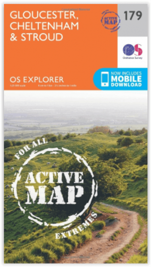
Wandelkaart 179 Gloucester- Cheltenham & Stroud - OSI • 9780319470510
Wandelkaart Gloucester- Cheltenham & Stroud - S.W. England Productbeschrijving: Kaart nummer 179 in de OS Explorer reeks heeft betrekking op de omgeving van Gloucester, Cheltenham, Stroud. Hoogtepunten van het gebied zijn onder andere: Cotswolds AONB gebied van uitzonderlijke natuurlijke schoonheid AONB, Vale van Gloucester, rivier de Severn en de Cotswolds way. De OS Explorer kaart voor G…
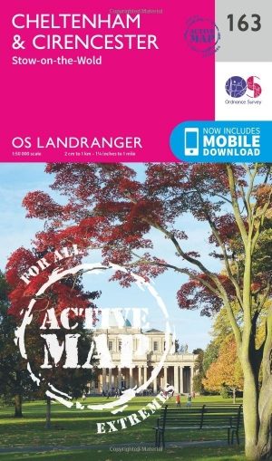
Wandelkaart 163 Cheltenham & Cirencester- England - OSI • 9780319474860
Wandelkaart Cheltenham & Cirencester - Gloucestershire England Productbeschrijving: De way of the Cotswold, Thames path en de Europese lange afstand pad, doorsnijden allemaal de op de OS Landranger vallende regio E2 kaart 163, waardoor het een fantastische locatie is om te wandelen en het landschap op te nemen. Cheltenham, het Cultuurcentrum vernoemd naar de Cotswolds, is een historische s…

Wandelkaart 168 Stroud- Tetbury & Malmesbury - OSI • 9780319243619
Wandelkaart Stroud- Tetbury & Malmesbury - Gloucestershire Omvat ook: De Cotswolds AONB- the Cotswold Way & The Monarch Way Productbeschrijving: Kaart nummer 168 in de OS Explorer kaarten reeks omvat Stroud, Tetbury, Malmesbury en Nailsworth. Hoogtepunten van het gebied zijn onder andere: de Cotswolds AONB, Cotswold Way, Monarch Way en the Thames Path. De OS Explorer kaart voor Stroud,…

Wandelkaart 181 Minehead & Brendon Hills- England - OSI • 9780319475041
Wandelkaart Minehead & Brendon Hills - Exmoor NP Somerset Productbeschrijving: De OS Landranger kaarten reeks heeft betrekking op Groot-Brittannië met 204 gedetailleerde kaarten, perfect voor dagtochten en korte pauzes. Elke kaart bevat alle informatie die u nodig heeft om dit lokaal gebied te leren kennen en omvat plaatsen van belang, toeristische informatie, picknickplaatsen en campings,…