

Wandelgids Hadrian's Wall Path - Rucksack Readers
Between Bowness-on-Solway and Wallsend - 135 KM

Korte omschrijving
Wandelgidsen Northumberland, Engeland en Cumbria, England van RUCKSACK READERS. Ideaal voor tochten in England.
Wandelgids Hadrian's Wall Path Productomschrijving: Hadrian's Wall Path runs for 86 miles (135 km) between Bowness-on-Solway and Wallsend (Newcastle) along the line of the Roman Wall complet...

Specificaties
- Uitgever: RUCKSACK READERS
- ISBN-13: 9781913817312
- HOOFDCATEGORIEËN: Wandelgids
- Activiteiten: Wandelen, Hiking & Trekking
- Regio: Cumbria, England, Northumberland, Engeland
- Land: England
- Historische wandelroutes: Hadrian's Wall path (135 km)
- UNESCO werelderfgoed: Hadrian's Wall Path (135 km)
- Schaal: 1:100000
- Editie: 2
- Taal: Engels
- Iconische Wandelroutes: Hadrians Wall Path, UK
- De Engelse Graafschappen: Cumberland (Cumbria)
- National Trails UK, England & Wales: Hadrians Wall, England
Volledige omschrijving
Wandelgids Hadrian's Wall Path
Productomschrijving: Hadrian's Wall Path runs for 86 miles (135 km) between Bowness-on-Solway and Wallsend (Newcastle) along the line of the Roman Wall completed in AD122 under the Emperor Hadrian. This National Trail crosses northern England from Irish Sea to North Sea and offers many chances to look at the forts, milecastles and interpretation centres within this UNESCO World Heritage Site.
The route is clearly waymarked and well supported by public transport, giving flexibility to walk it in linear sections or as loop walks. Although the book's detailed description runs from west to east, it includes notes for east-to-west walkers. For conservation reasons, the Partnership that manages the route asks you to walk the Path between May and October.
This guidebook contains all you need to plan and enjoy a classic week's walking:
• detailed route description for the walk from Bowness to Wallsend
• concise directions for the walk from Wallsend to Bowness (west-east)
• the history and anatomy of the Wall
• summary of forts and visitor centres
• wildlife, habitats and other background
• information about public transport and travel
• lavishly illustrated, with 70 colour photographs
• map of the entire route (1:100,000)
• on rainproof paper.

Gekoppelde artikelen

Artikelen uit dezelfde regio
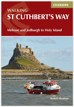
Wandelgids St Cuthbert's Way - Cicerone • 9781786311566
Wandelgids St Cuthbert's Way - Cicerone Productomschrijving: Deze wandelgids beschrijft de lange afstand St Cuthbert's Way door het ongerepte landschap van Northumberland en de Borders. De 100 km lange route begint in Melrose en doorkruist de ruige rotsen en heidevelden van de Cheviot Hills, gaat door het Northumberland National Park naar het sfeervolle Lindisfarne (Holy Island). De tocht …
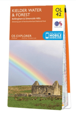
Wandelkaart OL42 Kielder Water & Forest - OS • 9780319242810
Wandelkaart Kielder Water & Forest - OS Productomschrijving: Kielder Water & Forest, Bellingham & Simonside Hills, part of Northumberland National Park, Pennine Way, St Oswald's Way, Lakeside Way & E2 European long distance Path. Omvat: Kielder Water & Forest, Bellingham & Simonside Hills Ontdek de OL-serie van Ordnance Survey: De OL-serie (Outdoor Leisure) van Ordnance Survey i…
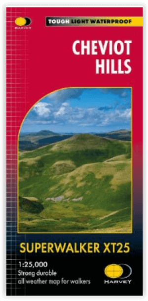
Wandelkaart XT25 Cheviot Hills - Harvey Maps • 9781851376094
Wandelkaart Cheviot Hills - Harvey Maps Productomschrijving: Ideaal voor The Cheviot, Windy Gyle en het noordelijke deel van Northumberland National Park. Omvat: Wooler, Kirk Yetholm, Breamish Valley en Harthope Valley - Lichtgewicht, gedetailleerd, duidelijk en makkelijk te lezen - Geprint op sterk, 100% watervast en scheurbestendig papier - Toont de horeca voor na je dagtrip …

Wandelgids - Forest of Bowland & Pendle - Cicerone • 9781852845155
Wandelgids - Forest of Bowland & Pendle - Cicerone Productomschrijving: Deze handige gids bevat 40 verschillende circulaire dagwandelingen geschikt voor wandelaars met navigatie/ GPS vaardigheden. Er is een variëteit aan terrein in de Forest of Bowland en Pendle waardoor het perfect is voor diegenen die een AONB willen verkennen. Sommige van de routes bedekken inclusief: Wards Stone, Pend…

Wandelgids 039 Pathfinder Durham, North Pennines & Tyne & Wear OS • 9780319090411
Wandelgids Durham, North Pennines & Tyne & Wear - OS Productomschrijving: This walking guide covers both the Cumbrian and Durham sides of the North Pennines, a designated Area of Outstanding Beauty, and also extends eastwards to Durham to the North Sea Coast. The area contains some of the finest moorland in the country, walks across Bowes Moor and Holwick as well as low-level walks beside …