

Landkaart Wegenkaart West-Australië state map - Hema Maps
Leeuwin-Naturaliste NP - Cape Range NP - Nambung NP

Korte omschrijving
Wegenkaart West-Australië state map - Hema Productomschrijving: A map of Western Australia (WA) for touring throughout the state that has camping and rest areas, 24-hour fuel and points of i...

Specificaties
- Uitgever: Hema Maps
- ISBN-13: 9321438001553
- HOOFDCATEGORIEËN: Wegenkaart - Landkaart
- Activiteiten: Street/Road maps & city plans
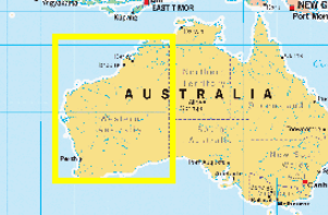
- Regio: West Australië, Western Australia
- Land: Australië
- Schaal: 1:2500000
- Editie: 11
- Taal: Engels
- Reeks/Serie: State maps, Hema
- De Australische Regio's: Western Australia
Volledige omschrijving
Wegenkaart West-Australië state map - Hema
Productomschrijving: A map of Western Australia (WA) for touring throughout the state that has camping and rest areas, 24-hour fuel and points of interest marked on the mapping.
On the reverse are CBD and through road maps of Perth in addition to inset maps of Leeuwin-Naturaliste National Park, Cape Range National Park, Nambung National Park, Francois Peron National Park, Purnululu National Park, Walpole-Nornalup National Park and Karijini National Park.
Also included are listed national parks and information centres within Western Australia.
Artikelen uit dezelfde regio

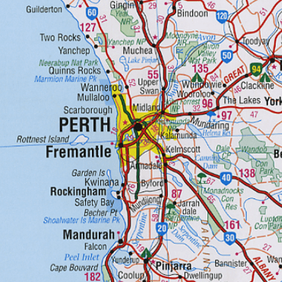
Stadsplattegrond 662 Perth City Streets & Suburbs - UBD GRegory's • 9780731933433
Stadskaart Perth City Streets & Suburbs - UBD GRegory's Productomschrijving: The latest edition of the Perth City Streets and Suburbs city map has been fully revised and updated and includes detailed street level mapping of Perth and surrounding suburbs at a scale of 1: 25 000 with coverage from Westminster in the north, Coolbellup in the south, Maylands in the east and along the coast fro…

Kampinggids Perth & The South West 4WD + Camping escapes - Hema • 9781865006215
Wegenatlas Kampinggids Perth & The South West Productomschrijving: 4WD + Camping Escapes – Perth & the South West is a guide to the best four-wheel driving and camping locations in South West Western Australia. Each regional section outlines the area’s 4WD Tracks and Featured Camping Areas, with a Camping Directory at the end to provide comprehensive coverage of other camping areas. T…
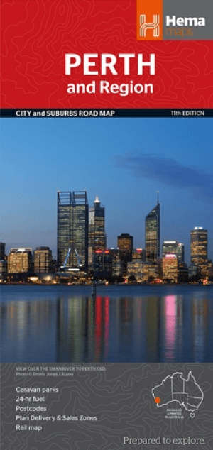
Stadskaart plattegrond Perth & omgeving - Hema Maps • 9781925195163
Stadskaart Perth & omgeving - Hema Productomschrijving: Perth CBD, City & Suburbs Map A map that has the Perth suburbs (1:80,000) and Perth city (1:15,000) maps on one side and the Perth region (1:750,000) and Fremantle (1:20,000) maps on the other. Included is a rail network map of Perth as well as points of interest and accommodation for both Fremantle and Perth. Perth is one of …
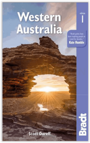
Reisgids Western Australia - Bradt guides • 9781784777531
Western Australia - Bradt Productomschrijving: Bradt's Western Australia is de eerste gids gericht op de lange landwegen, inspirerende nationale parken en wijngaarden van wereldklasse van Australië's grootste staat. Inwoner Scott Dareff heeft de afgelopen vijf jaar bijna alle 137 administratieve gebieden van de staat bezocht, waardoor hij een buitengewoon inzicht in en kennis van een van '…

Landkaart Wegenkaart West Australia Planning map - Lonely Planet • 9781788688994
Wegenkaart Western Australia Planning map - Lonely Planet Productomschrijving: With this easy-to-use, full-colour map in your back pocket, you can truly get to the heart of Western Australia - so begin your journey now! - Durable and waterproof - Easy-fold format and convenient size Handy slipcase - Full colour and easy to use Before-you-go info - Beautiful imagery Tailored itin…