

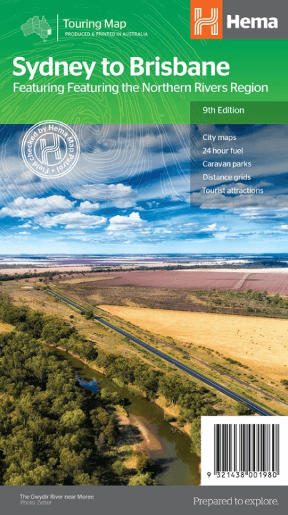
Landkaart Wegenkaart Sydney tot Brisbane - Hema Maps
Via the Pacific and New England Highways


Korte omschrijving
Wegenkaart Sydney tot Brisbane - Hema Productomschrijving: A city to city map designed for the journey from Sydney to Brisbane via the Pacific and New England Highways (1:1,000,000), with t...

Specificaties
- Uitgever: Hema Maps
- ISBN-13: 9321438001980
- HOOFDCATEGORIEËN: Wegenkaart - Landkaart
- Activiteiten: Street/Road maps & city plans
- Regio: New South Wales, Australië, Queensland, Noord-Oost Australië
- Land: Australië
- Schaal: 1:900000
- Editie: 9
- Taal: Engels
Volledige omschrijving
Wegenkaart Sydney tot Brisbane - Hema
Productomschrijving: A city to city map designed for the journey from Sydney to Brisbane via the Pacific and New England Highways (1:1,000,000), with tourist information on towns and regions within the trip on the opposite side.
Omvat: The Northern Rivers Region!
• City maps
• 24-hour fuel
• Camping areas
• Distance grids
• Tourist attractions
• Roadside rest areas

Artikelen uit dezelfde regio

Landkaart Wegenkaart Australië Indigenous Journeys Map - Hema Map • 9781922668936
Wegenkaart Australië Indigenous Journeys Map - Hema Maps Productomschrijving: Australië Indigenous Journeys Map hema 1:5.5M Ontdek de zanglijnen van de oudste levende cultuur ter wereld Al meer dan 65.000 jaar bewandelen Aboriginals en Torres Strait Islanders - de traditionele eigenaars van Australië - het land, smeden handelsroutes, delen kennis en zorgen voor het land. De Indigenou…

Landkaart Wegenkaart Zuidoost van New South Wales - Hema Maps • 9781925625967
Wegenkaart Zuidoost van New South Wales - Hema Productomschrijving: A regional map of South East New South Wales (1:385,000) that ranges from Wollongong down to the Victoria border and out to Gundagai and past Jindabyne in the West. Covers: Illawarra, Jervis Bay & Shoalhaven, Batemans Bay, Canberra & surrounds, Merimbula & Sapphire Coast, Southern Highlands, Goulburn Region and the S…

Stadskaart plattegrond Cairns Queensland & omgeving - Hema Maps • 9781865008912
Stadskaart Cairns & omgeving - Hema Productomschrijving: Cairns CBD, City & Suburbs Map. A map that offers comprehensive and detailed coverage of Cairns and the surrounding regions at a detailed scale of 1:22,500. There are maps of the northern beaches and Cairns on either side, with inset maps of Gordonvale, Edmonton, the Cairns region and the Cairns CBD. Cairns is one of Queensla…
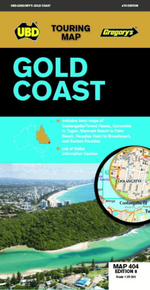
Landkaart Wegenkaart 404 Gold Coast Queensland - UBD Gregory's • 9780731932023
Wegenkaart Gold Coast Queensland - UBD Gregory's Productomschrijving: Gold Coast region map at a scale of 1 : 160 000 covering along the coast from South Stradbroke Island in the north to Bogangar NSW in the south & Beaudesert in the west, Beenleigh in the north & Murwillumbah NSW in the south. - Region map at a scale of 1 : 450 000 covering along the coast from Sandgate in the north t…

Landkaart Wegenkaart 299 Wollongong Suburban Streets NSW - UBD • 9780731932054
Wegenkaart Wollongong Suburban Streets NSW - UBD Productomschrijving: Street level mapping and street index at a scale of 1 : 25 000 from Helensburgh in the north to Dunmore in the south. Coverage included for Berry & Nowra, North Nowra & Bomaderry - Index to suburbs & localities - Overview map of Wollongong to Nowra at a scale of 1 : 685 700