

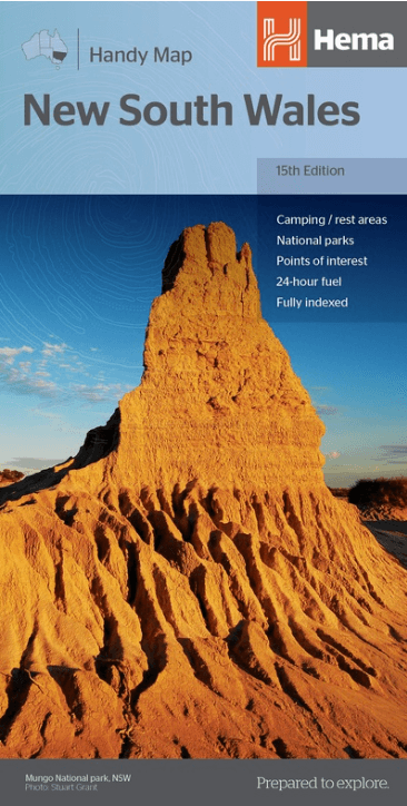
Landkaart Wegenkaart New South Wales handy map - Hema
New South Wales Australia
Korte omschrijving
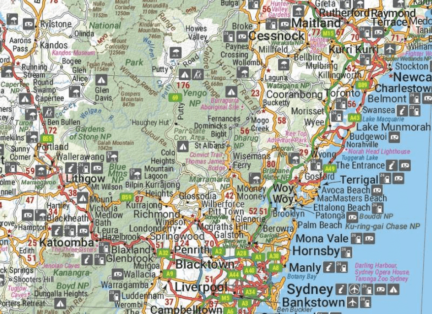
Wegenkaart New South Wales handy map - Hema Productomschrijving: A fully indexed state map of New South Wales (NSW) at a scale of 1:1,400,000. Marked on the map are national parks, camping ...

Specificaties
- Uitgever: Hema Maps
- ISBN-13: 9781925625608
- HOOFDCATEGORIEËN: Wegenkaart - Landkaart
- Activiteiten: Street/Road maps & city plans
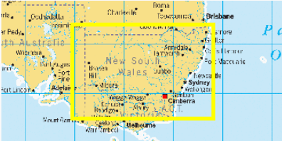
- Regio: New South Wales, Australië
- Land: Australië
- Schaal: 1:1400000
- Editie: 15
- Taal: Engels
- Reeks/Serie: State Handy Maps, Hema
- De Australische Regio's: New South Wales
Volledige omschrijving
Wegenkaart New South Wales handy map - Hema
Productomschrijving: A fully indexed state map of New South Wales (NSW) at a scale of 1:1,400,000. Marked on the map are national parks, camping areas, caravan parks, rest areas, points of interest and 24-hour fuel accompanied by a distance grid.
Artikelen uit dezelfde regio

Landkaart Wegenkaart 299 Wollongong Suburban Streets NSW - UBD • 9780731932054
Wegenkaart Wollongong Suburban Streets NSW - UBD Productomschrijving: Street level mapping and street index at a scale of 1 : 25 000 from Helensburgh in the north to Dunmore in the south. Coverage included for Berry & Nowra, North Nowra & Bomaderry - Index to suburbs & localities - Overview map of Wollongong to Nowra at a scale of 1 : 685 700
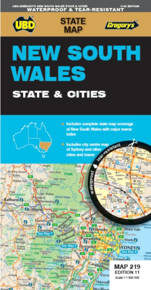
Landkaart Wegenkaart 219 New South Wales State & Cities - Gregory • 9780731933273
Wegenkaart New South Wales State & Cities - Gregory's Productomschrijving: The latest edition of the New South Wales State and Cities Map has been fully revised and updated and includes. State mapping at a scale of 1 : 1.600.000 with an index to major towns featured on one side. Street level mapping for Byron Bay, Gosford, Katoomba, Newcastle, Parramatta, Sydney and Wollongong plu…

Landkaart Wegenkaart Explorer Map Mid North Coast, NSW - Hema • 9781922668226
Explorer Map Mid North Coast, New South Wales - Hema Productomschrijving: A regional map of the Mid North Coast of New South Wales (1:350,000) that ranges from Northern Newcastle, west to Mudgee, as far as Gunnedah in the North and East to Port Macquarie. Covers: Gunnedah, Tamworth, Mudgee, Port Macquarie, Maitland, Kempsey, Taree, and Forster. Also includes the following National Pa…
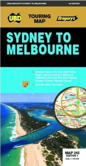
Landkaart Wegenkaart 245 Sydney to Melbourne NP - UBD Gregory's • 9780731933174
Wegenkaart Sydney to Melbourne NP - Gregory's Productomschrijving: The latest edition of the Sydney to Melbourne touring map has been fully revised and updated. It includes strip maps for travelling both the Princes Highway/Freeway and the Hume Motorway/Highway/Freeway with information on the major towns along these routes. There is also state mapping at a scale of 1: 975 000 highligh…
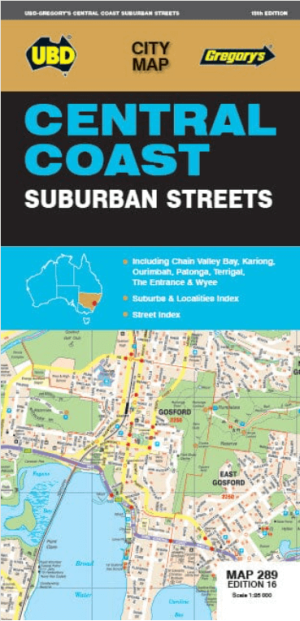
Landkaart Wegenkaart 289 Central Coast Suburban Streets - Gregory • 9780731933334
Wegenkaart Central Coast Suburban Streets - Gregory's Productomschrijving: This conveniently sized fold out map features detailed street directory mapping of the Central Coast at a scale of 1:25 000 with coverage from Doyalson in the north, Patonga in the south, along the coast from Budgewoi Peninsula to Box Head and Kariong in the west. Also included are a street index and index for subu…