

Wegenatlas Ierland official road spiraal atlas - OSI Ireland
With all indexes to all map pages
Korte omschrijving
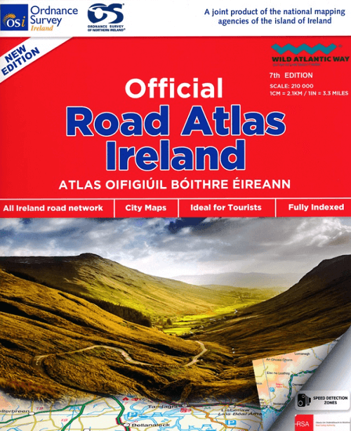
Wegenatlas Ierland official road atlas - OSI Ireland Productomschirjving: This edition contains updated road maps covering Ireland, plus City and Town Maps and Motoring Information, Distanc...

Specificaties
- Uitgever: Ordnance Survey Ireland
- ISBN-13: 9781912140473
- HOOFDCATEGORIEËN: Wegenatlas
- Activiteiten: Street/Road maps & city plans
- Regio: Ierland
- Land: Ierland
- Schaal: 1:210000
- Taal: Engels
- Reeks/Serie: Wegenatlassen
Volledige omschrijving
Wegenatlas Ierland official road atlas - OSI Ireland
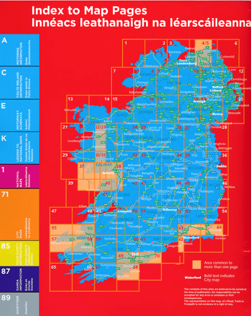
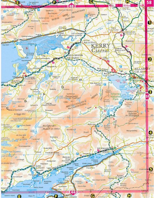
Productomschirjving: This edition contains updated road maps covering Ireland, plus City and Town Maps and Motoring Information, Distance Charts and Extensive Gazetteer (Index of Towns).
The atlas covers all of the Island of Ireland using mapping information from both Ordnance Survey Ireland and Ordnance Survey Northern Ireland.
Artikelen uit dezelfde regio

Stadsplattegrond Belfast pocket map - Harper Collins • 9780008716530
Stadskaart Belfast pocket map - Harper Collins Productomschrijving: Handy little full color Collins map of central Belfast with a high level of detail. Clear mapping from Cliftonville in the north to Botanics in the south, and Shankill in the west to City Airport in the east. Map at a scale of 1:10,000 (6 inches to 1 mile). Clear, detailed, full color Collins mapping is presented in a han…
Reisgids Insight Guides Ireland ENG - APA publucations • 9781839054617
Reisgids Insight Guides Ireland ENG - APA publucations Productomschrijving: From deciding when to go, to choosing what to see when you arrive, Insight Guide Ireland, is all you need to plan your trip and experience the best of Ireland, with in-depth insider information on must-see, top attractions like Dublin, the Giant's Causeway, the Aran Islands, Connemara and the Wild Atlantic Way, and…
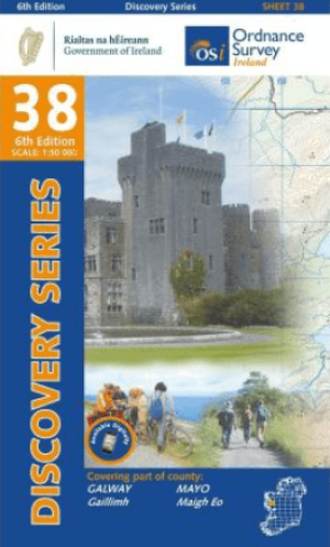
Wandelkaart 38 County Galway & South Central County Mayo - OSI • 9781912140084
Wandelkaart County Galway & South Central County Mayo - OSI Productomschrijving: Productomschrijving: Ontdek Ierland met de Discovery Series Wandelkaarten van Ordnance Survey Ireland De Discovery Series wandelkaarten van Ordnance Survey Ireland (OSi) zijn dé keuze voor wandelaars, fietsers en avonturiers die Ierland echt willen verkennen. Deze hoogwaardige topografische kaarten bieden…

Landkaart Wegenkaart Planning map Ireland - Lonely Planet • 9781787015814
Wegenkaart & Planning map Ireland - Lonely Planet Productomschrijving: Durable and waterproof, with a handy slipcase and an easy-fold format, Lonely Planet Ireland Planning Map is your conveniently-sized passport to traveling with ease. Get more from your map and your trip with images and information about top country attractions, itinerary suggestions, a transport guide, planning informat…

Landkaart Wegenkaart Ierland driving map - Ordnance Survey • 9781908852885
Wegenkaart Ierland driving map - OSI Productomschrijving: A folded map covering the whole of the island of Ireland published by Ordnance Survey Ireland. Clear easy to read mapping. Up to Date Road Network and includes a placename Index. Includes a Distance Chart in Kms. Distances in Km marked across the map.