

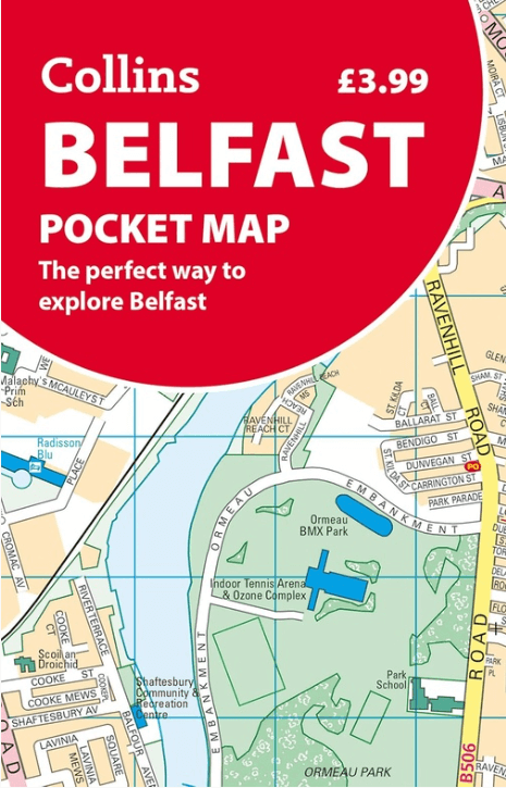
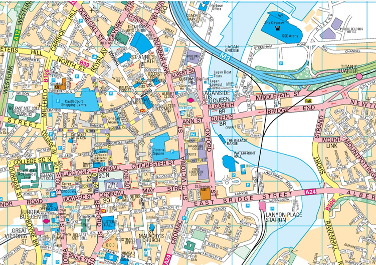
Stadsplattegrond Belfast pocket map - Harper Collins
Handy little full color Collins map of central Belfast
Korte omschrijving
Stadskaart Belfast pocket map - Harper Collins Productomschrijving: Handy little full color Collins map of central Belfast with a high level of detail. Clear mapping from Cliftonville in th...

Specificaties
- Uitgever: HarperCollins Publishers
- ISBN-13: 9780008716530
- HOOFDCATEGORIEËN: Stadskaart plattegrond
- Activiteiten: Street/Road maps & city plans
- Regio: Belfast, Ierland, Ierland
- Land: Ierland, United Kingdom, Great Britain
- Schaal: 1:10000
- Taal: Engels
- Reeks/Serie: Pocket Maps
Volledige omschrijving
Stadskaart Belfast pocket map - Harper Collins
Productomschrijving: Handy little full color Collins map of central Belfast with a high level of detail. Clear mapping from Cliftonville in the north to Botanics in the south, and Shankill in the west to City Airport in the east. Map at a scale of 1:10,000 (6 inches to 1 mile). Clear, detailed, full color Collins mapping is presented in a handy format ideal for the pocket or handbag. It is excellent value and covers the most visited area of central Belfast. It is an essential buy for tourists and residents alike.
This map includes:
• Detailed central area map
• Tourist locations
• Tram, Train and bus stations
• Extra information on entertainment, festivals, places of interest, shopping and transport links
• Detailed street index
Artikelen uit dezelfde regio
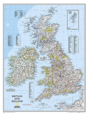
Plano Wandkaart Groot-Brittannië & Ierland 60 x 76 cm - Nat Geo • 9780792250234
Wandkaart Groot-Brittannië & Ierland 60 x 76 cm - Nat Geo Productomschrijving: National Geographic's Classic political map of Britain and Ireland is both an attractive addition to any study or classroom and an informative tool for exploring these fascinating countries. The map features thousands of place names, major highways and roads, airports, ferry routes, bodies of water, and more. Ha…
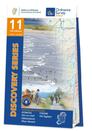
Wandelkaart 11 County Donegal South - OSI Ireland • 9781912140497
Wandelkaart Donegal South - OSI Productomschrijving: Ontdek Ierland met de Discovery Series Wandelkaarten van Ordnance Survey Ireland. De Discovery Series wandelkaarten van Ordnance Survey Ireland (OSi) zijn dé keuze voor wandelaars, fietsers en avonturiers die Ierland echt willen verkennen. Deze hoogwaardige topografische kaarten bieden een gedetailleerd en nauwkeurig overzicht van he…
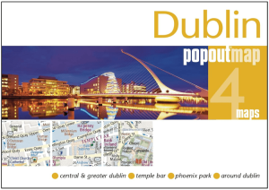
Stadskaart Plattegrond Popout map Dublin - Heartwood Publ. • 9781910218907
Popout map Dublin - Heartwood Publ. Productomschrijving: Laat PopOut Dublin je rondleiden door deze prachtige stad. Ervaar de Ierse charme van Dublin met behulp van deze pop-up kaart op zakformaat. Klein in formaat, maar groot in detail, deze compacte, betrouwbare Dublin stadsplattegrond zorgt ervoor dat je niets mist. * Bevat twee pop-up kaarten van het centrum en het grotere Dublin.…

Guide Routard Irlande 2026-27 - Le Routard • 9782017338079
Reisgids Irlande - Le Routard Productomschrijving: Le Routard, le meilleur compagnon de voyage depuis 45 ans. Dans cette nouvelle édition du Routard Irlande vous trouverez une première partie en couleurs avec des cartes et des photos, pour découvrir plus facilement le pays et repérer nos coups de cœur ; des suggestions d’itinéraires et des informations pratiques pour organiser votre sé…
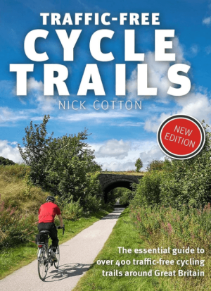
Traffic-Free Cycle Trails around Great Britain - Vertebrate Publ. • 9781912560769
Traffic-Free Cycle Trails around Great Britain - Vertebrate Productomschrijving: The essential guide to over 400 traffic-free cycling trails around Great Britain Traffic-Free Cycle Trails by Nick Cotton contains over 400 cycle routes in Great Britain. This book includes a great variety of routes on former railway paths, canal towpaths and forest trails in England, Scotland and Wales, w…