

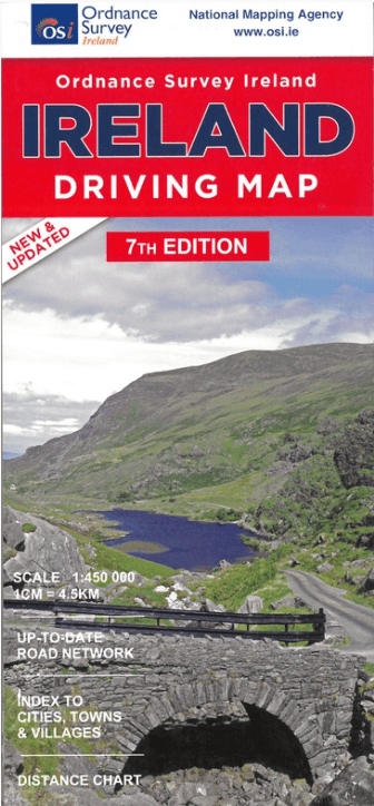
Landkaart Wegenkaart Ierland driving map - Ordnance Survey
Published by Ordnance Survey Ireland
Korte omschrijving
Wegenkaart Ierland driving map - OSI Productomschrijving: A folded map covering the whole of the island of Ireland published by Ordnance Survey Ireland. Clear easy to read mapping. Up t...

Specificaties
- Uitgever: Ordnance Survey Ireland
- ISBN-13: 9781908852885
- HOOFDCATEGORIEËN: Wegenkaart - Landkaart
- Activiteiten: Street/Road maps & city plans
- Regio: Ierland, Noord Ierland
- Land: Ierland
- Schaal: 1:450000
- Editie: 7
- Taal: Engels
Volledige omschrijving
Wegenkaart Ierland driving map - OSI
Productomschrijving: A folded map covering the whole of the island of Ireland published by Ordnance Survey Ireland. Clear easy to read mapping.
Up to Date Road Network and includes a placename Index. Includes a Distance Chart in Kms.
Distances in Km marked across the map.
Artikelen uit dezelfde regio
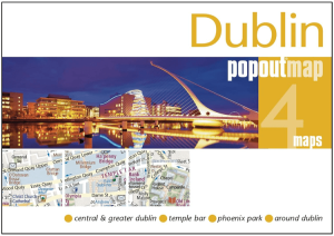
Stadskaart Plattegrond Popout map Dublin - Heartwood Publ. • 9781910218907
Popout map Dublin - Heartwood Publ. Productomschrijving: Laat PopOut Dublin je rondleiden door deze prachtige stad. Ervaar de Ierse charme van Dublin met behulp van deze pop-up kaart op zakformaat. Klein in formaat, maar groot in detail, deze compacte, betrouwbare Dublin stadsplattegrond zorgt ervoor dat je niets mist. * Bevat twee pop-up kaarten van het centrum en het grotere Dublin.…

Fietsgids Great British Bike Rides - Vertebrate Publ. • 9781906148553
Great British Bike Rides - Vertebrate Productomschrijving: 40 classic routes for road cyclists Great British Bike Rides by Dave Barter brings together 40 of the best road rides in England, Scotland and Wales, searching out the country's most celebrated routes, toughest climbs and scenic roads. Features detailed route information, bespoke mapping and a statistical breakdown of every det…

Landkaart Wegenkaart Road Map Ierland - Hallwag • 9783828310506
Wegenkaart Road Map Ierland - Hallwag Productomschrijving: Op zoek naar betrouwbare Hallwag wegenkaarten? Deze klassieke road maps staan bekend om hun duidelijke cartografie, praktische indeling en heldere weergave van wegen en verbindingen. Voor autoritten, vakanties, camperreizen en lange roadtrips bieden Hallwag wegenkaarten het overzicht dat je onderweg nodig hebt. Met een Hallwag …

Landkaart Wegenkaart 713 Groot-Brittannië & Ierland 26 - Michelin • 9782067270220
Wegenkaart 713 Groot-Brittannië & Ierland 2026 - Michelin Productomschrijving: Deze kaart omvat de nieuwe versie voor 2026, met alle straten, hoofdwegen, toeristische informatie en locaties voor Groot-Brittannië & Ierland 2026 - Nationale kaarten - Wegenkaarten national: een overzicht van het land voor lange trajecten - Schaal aangepast aant het land - Kaarten met jaartal voor de…

Wegenatlas Groot Brittanië & Noord Ierland - Freytag & Berndt • 9783707924985
Groot Brittanië & Noord Ierland - Freytag & Berndt Productomschrijving: De ideale autoatlas voor Groot-Brittannië en Noord-Ierland Het dichte wegennet is nauwkeurig weergegeven en veel uitstapjes zijn op de kaart aangegeven. Auto- en motorrijders waarderen de nauwkeurige cartografie vooral voor het plannen en oriënteren ter plaatse. Om de reis ook met een camper, caravan of kampeerwag…