

Fietsgids Great British Bike Rides - Vertebrate Publ.
40 classic routes for road cyclists - Voor de wielerfanaten

Korte omschrijving
Fietsgidsen Engeland, Wales, Schotland en Ierland van Vertebrate Publishing. Ideaal voor tochten in England, Wales, Schotland en Ierland.
Great British Bike Rides - Vertebrate Productomschrijving: 40 classic routes for road cyclists Great British Bike Rides by Dave Barter brings together 40 of the best road rides in Englan...

Specificaties
- Uitgever: Vertebrate Publishing
- ISBN-13: 9781906148553
- HOOFDCATEGORIEËN: Fietsgids
- Activiteiten: Fietsen / VTT / MTB
- Auteur: Dave Barter
- Regio: Engeland, Ierland, Schotland, Wales
- Land: England, Ierland, Schotland, Wales
- Taal: Engels
- Fietsen: Fietsen in het Buitenland
Volledige omschrijving
Great British Bike Rides - Vertebrate
Productomschrijving: 40 classic routes for road cyclists
Great British Bike Rides by Dave Barter brings together 40 of the best road rides in England, Scotland and Wales, searching out the country's most celebrated routes, toughest climbs and scenic roads. Features detailed route information, bespoke mapping and a statistical breakdown of every detail cyclists require.
Great British Bike Rides is a celebration of British road cycling. Author Dave Barter brings together 40 of the best road rides in England, Scotland and Wales, searching out the country's most celebrated routes, toughest climbs and most scenic roads. The rides are challenging, they are adventurous, and they are quintessentially British – tackle the classic Fred Whitton in the English Lake District; pit yourself against fearsome climbs inspired by the Dragon Ride in Wales; and feast upon Scotland's stunning scenery following wild roads through Assynt and across Skye.
Already a fanatical cyclist, author Dave Barter packed in his job and hit the road, embarking on a 9000-mile tour of Britain to bring together the best riding the country has to offer. His cycle routes are devised specifically for this book, enchaining unforgettable climbs, quiet roads and stunning scenery. Each ride is accompanied by detailed route information, bespoke mapping and a statistical breakdown including every detail the committed cyclist requires. Join the cycling revolution and discover the best road cycling in Great Britain.
Artikelen uit dezelfde regio

Wandelkaart OL05 English Lakes - North Eastern area - OS • 9780319264003
Wandelkaart English Lakes - North Eastern area - OS Productomschrijving: Een topografische wandelkaart van het noordoostelijke deel van de Lake District National park. Omvat: English Lakes - North Eastern area, Penrith, Patterdale & Caldbeck, Parts of the Lake District, and The Cumbria Way. Ontdek de OL-serie van Ordnance Survey: De OL-serie (Outdoor Leisure) van Ordnance Survey …
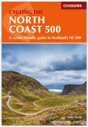
Fietsgids Cycling The North Coast 500 - Cicerone • 9781786312198
Cycling The North Coast 500 - Cicerone Productomschrijving: Het verre noorden van Schotland, biedt met deze nieuwe fietsgids een wervelende route rond het schiereiland van om en bij de 850 km fietsplezier, of 528 miles. De route brengt u langs Wester Ross, Sutherland, Caithness, Easter Ross & the Black Isle. Engelse omschrijving: This guidebook describes a 528-mile cycling route …

Stadsplattegrond Belfast pocket map - Harper Collins • 9780008716530
Stadskaart Belfast pocket map - Harper Collins Productomschrijving: Handy little full color Collins map of central Belfast with a high level of detail. Clear mapping from Cliftonville in the north to Botanics in the south, and Shankill in the west to City Airport in the east. Map at a scale of 1:10,000 (6 inches to 1 mile). Clear, detailed, full color Collins mapping is presented in a han…

Reigids Great Britain Experience Guide - Lonely Planet • 9781837583461
Lonely Planet Great Britain Experience Guide Productomschrijving: Unique experiences to string together an unforgettable trip Inside Lonely Planet's Experience Great Britain: - Inspiring full-colour travel photography and maps throughout - Highlights and trip builders to help tailor a trip to your personal needs and interests - Fresh perspectives to surprise you with things…
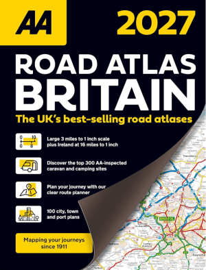
Wegenatlas Britain Road Atlas 2027 - AA Road Maps • 9780749584566
Britain Road Atlas 2027 - AA Road Maps Productomschrijving: This top-selling road atlas showcases Britain’s clearest mapping from the experts at the AA. Each page has been titled with its geographical location so you can turn to the page you need more easily. Wide and narrow minor roads, National Trust, English and World Heritage sites and hard-to-find places are shown. There are 112 city…