
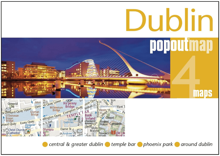
Stadskaart Plattegrond Popout map Dublin - Heartwood Publ.
Bevat twee pop-up kaarten van het centrum en het grotere Dublin
Korte omschrijving
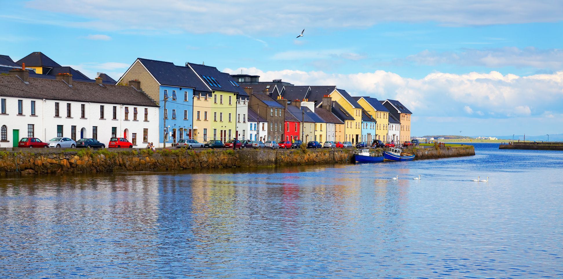
Wandelkaarten Ierland van Heartwood Publishing Ltd.. Ideaal voor tochten in Ierland.
Popout map Dublin - Heartwood Publ. Productomschrijving: Laat PopOut Dublin je rondleiden door deze prachtige stad. Ervaar de Ierse charme van Dublin met behulp van deze pop-up kaart op zak...

Specificaties
- Uitgever: Heartwood Publishing Ltd.
- ISBN-13: 9781910218907
- HOOFDCATEGORIEËN: Wandelkaart
- Activiteiten: Street/Road maps & city plans
- Regio: Ierland
- Land: Ierland
- Schaal: 1:85000
- Taal: Engels
- Reeks/Serie: Popout maps, Heartwoord Publ.
Volledige omschrijving
Popout map Dublin - Heartwood Publ.
Productomschrijving: Laat PopOut Dublin je rondleiden door deze prachtige stad. Ervaar de Ierse charme van Dublin met behulp van deze pop-up kaart op zakformaat. Klein in formaat, maar groot in detail, deze compacte, betrouwbare Dublin stadsplattegrond zorgt ervoor dat je niets mist.
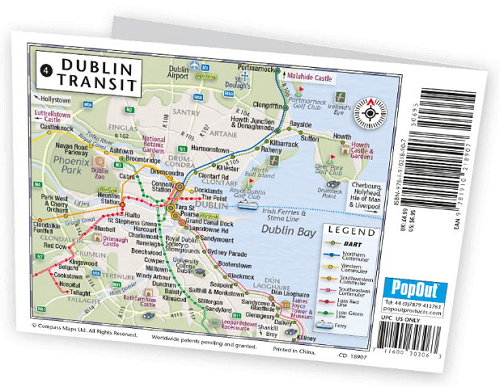
* Bevat twee pop-up kaarten van het centrum en het grotere Dublin. * Extra kaarten van Temple Bar, Phoenix Park en rond Dublin zijn ook inbegrepen. * Handige, zelfvouwende toeristische kaart is klein genoeg om in je zak te passen, maar biedt een uitgebreide dekking van de stad. * Grondige stratenindex is ook opgenomen en verwijst naar de kaart, zodat je gemakkelijk je bestemming kunt vinden. * Hotels, restaurants, winkels en attracties zijn allemaal opgenomen op de kaarten Ideaal om in een zak of tas te stoppen.De inhoud bevat kaarten van: Central Dublin Greater Dublin Temple Bar Phoenix Park Rondom Dublin.
Vouwformaat: 95mm x 130mm / 3.75 inches x 5.25 inches Velformaat: 215mm x 225mm / 8.5 inches x 9.75 inches.
Locatie op kaart
Artikelen uit dezelfde regio
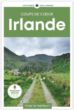
Reisgids Irlande Ierland GEOguide - Gallimard • 9782742468072
Reisgids Irlande - Gallimard Productomschrijving: Des pubs chaleureux de Dublin aux cottages rustiques du Donegal, laissez-vous envoûter par la Belle Emeraude ! Un voyage slow, respectueux et responsable, avec des itinéraires en train, à vélo... Des rencontres avec les habitants pour une immersion authentique et loin des foules. Les recommandations de nos auteurs sur place, leurs adre…

Wandelkaart 23 County Mayo North Coast Discovery Series - OSI Ireland • 9781912140527
Wandelkaart Mayo North - OSI Productomschrijving: Ontdek Ierland met de Discovery Series Wandelkaarten van Ordnance Survey Ireland. De Discovery Series wandelkaarten van Ordnance Survey Ireland (OSi) zijn dé keuze voor wandelaars, fietsers en avonturiers die Ierland echt willen verkennen. Deze hoogwaardige topografische kaarten bieden een gedetailleerd en nauwkeurig overzicht van het I…
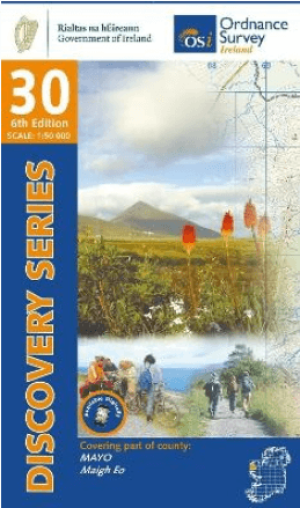
Wandelkaart 30 County Mayo West & Central Discovery Series - OSI • 9781912140299
Wandelkaart County Mayo West Central - OSI Productomschrijving: Ontdek Ierland met de Discovery Series Wandelkaarten van Ordnance Survey Ireland De Discovery Series wandelkaarten van Ordnance Survey Ireland (OSi) zijn dé keuze voor wandelaars, fietsers en avonturiers die Ierland echt willen verkennen. Deze hoogwaardige topografische kaarten bieden een gedetailleerd en nauwkeurig overzi…
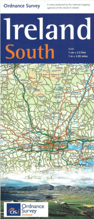
Landkaart Wegenkaart H4 Ierland Zuid - OSI • 9781908852861
Wegenkaart Zuid Ierland Zuid - OSI Productomschrijving: Ordnance Survey Ireland South Road map at 1:250,000 approx 4 miles to the Inch. This map shows detailed road classification, altitude colouring and tourist information, published by OSI, the Ordnance Survey of Ireland. Topography of the island is shown by altitude colouring, with additional spot heights and names of mountain …
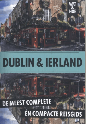
Reisgids Wat & Hoe Dublin en Ierland - Kosmos Uitgeverij • 9789043944205
Reisgids Dublin en Ierland - Kosmos Uitgeverij Productomschrijving: Met deze Wat & Hoe Reisgids Dublin & Ierland ga je voorbereid onderweg. Bezoek de prachtige bibliotheek van Trinity College of de National Gallery of Art in Dublin, en besluit je dag in deze bruisende hoofdstad in een van de pubs in Temple Bar. Ierland is het land van groene heuvels, historische schatten en adembenemende …