

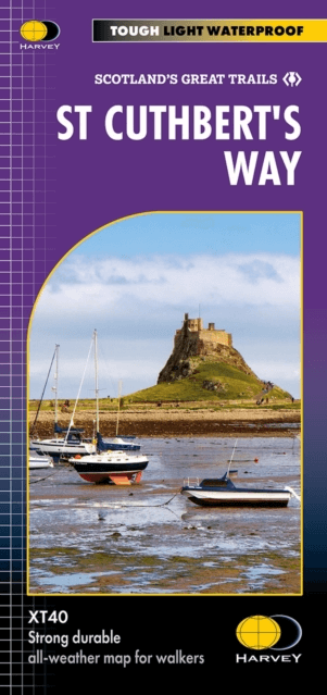
Wandelkaart St Cuthbert's Way XT40 - Harvey Maps
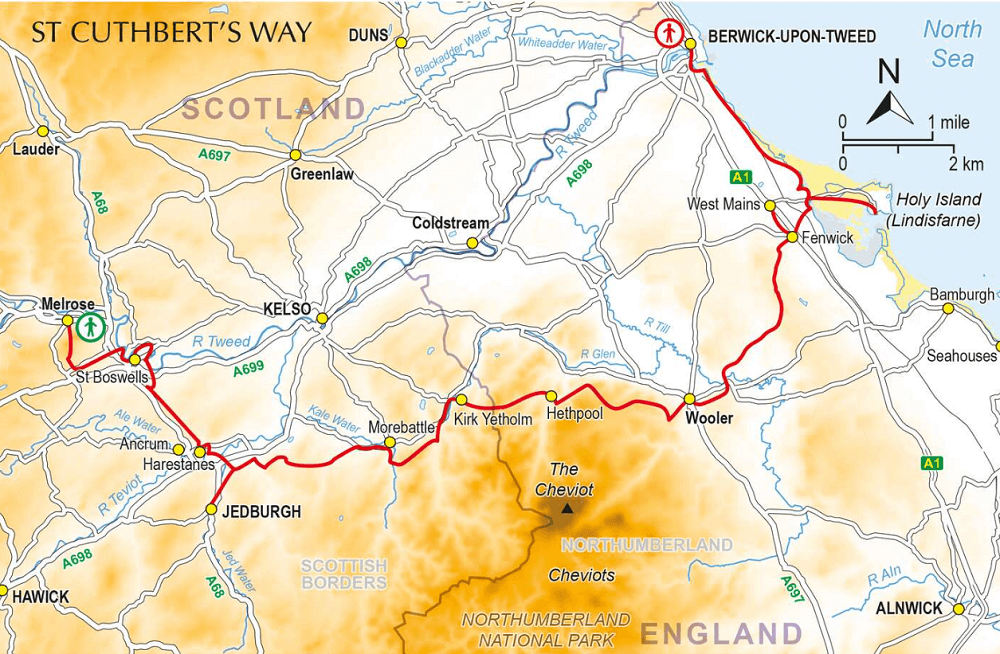
From Melrose in Scotland to Holy Island (Lindisfarne) in England
Korte omschrijving
Wandelkaarten Schotse grenzen, Northumberland, Engeland en Lindisfarne, Holy Island Northumberland England van HARVEY MAPS. Ideaal voor tochten in Schotland en England.
Wandelkaart St Cuthbert's Way - Harvey Maps Productomschrijving: De gehele route op één kaart, Eén van de bekendste routes van Schotland. De St Cuthbert's Way verbindt plaatsen die verb...

Specificaties
- Uitgever: HARVEY MAPS
- ISBN-13: 9781851377237
- HOOFDCATEGORIEËN: Wandelkaart
- Activiteiten: Wandelen, Hiking & Trekking
- Regio: Lindisfarne, Holy Island Northumberland England, Northumberland, Engeland, Schotse grenzen
- Land: England, Schotland
- TOPO's & Stafkaarten: Topografisch wandelen
- Schaal: 1:40000
- Taal: Engels
- Reeks/Serie: National Trails, UK, Superwalker XT40, Harvey Maps
- De Engelse Graafschappen: Northumberland
- Scotlands Great Trails: St Cuthbert's Way
Volledige omschrijving
Wandelkaart St Cuthbert's Way - Harvey Maps
Productomschrijving: De gehele route op één kaart, Eén van de bekendste routes van Schotland.
De St Cuthbert's Way verbindt plaatsen die verband houden met het leven van de Heilige uit de 7e eeuw, Cuthbert. Van Melrose Abbey naar Holy Island (Lindisfarne). 100 km (62 mijl).
- De kaart is sterk, licht, duurzaam en 100% waterbestendig
- Route duidelijk aangegeven
Engelse omschrijving:
The trail follows in the footsteps of St. Cuthbert, a prominent figure in early medieval Christianity, who lived and worked in the area.
Artikelen uit dezelfde regio

Wandelgids Hadrian's wall Path - Knife Edge • 9781912933075
Wandelgids - Hadrian's wall Path - Knife Edge Productomschrijving: De definitieve tweerichtingsgids voor het Hadrian's Wall Path: zowel oostwaartse als westelijke routes worden volledig beschreven. 14 verschillende routes: schema's van 3, 4, 5, 6, 7, 8 en 9 dagen voor wandelaars en hardlopers. Omvat reisroutes naar het noorden en het zuiden. De moeilijkere berekeningen van tijd, afstand en…
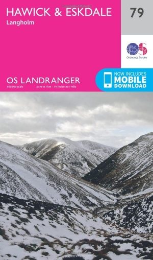
Wandelkaart 79 Hawick & Eskdale - Schotland - OSI • 9780319261774
Wandelkaart Hawick & Eskdale - Schotland Productbeschrijving: OS Landranger kaart 79 omvat Eskdale, Liddesdale and Teviot Dale, plus de stad Hawick. De huidige vallei is een populaire gebied om te wandelen met een aangename dal, en steile beklimmingen. De Head for Hart Fell (808m) voor een boeiende en soms uitdagende ridge wandeling De OS Landranger kaarten reeks heeft betrekking op Gr…

Wandelkaart Hadrian's Wall Path - Vertebrate Publ. • 9781839810312
Hadrian's Wall Path - Vertebrate Productomschrijving: Easy-to-use folding map and essential information, with custom itinerary planning for walkers, trekkers, fastpackers and trail runners Hadrian's Wall Path Guidemap from Vertebrate Publishing is a lightweight, waterproof, durable and easy-to-use folding map with 1:40,000-scale mapping for the east to west HWP route. Includes route va…

Wandelgids 088 Pathfinder guides Scottish Borders - OS • 9780319092583
Wandelgids Scottish Borders - OS Productomschrijving: Opening with a gentle short walk at Hawick, visiting Wilton Lodge Park is the company of the River Teviot, and concluding with a more challenging ramble to the north of Melrose, walks are arranged in the book by completion time, with shorter and easier routes at the start and longer outings at the end. Walks are professionally authored …
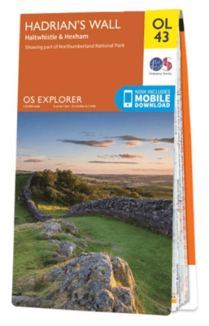
Wandelkaart OL43 Hadrian's Wall- Haltwhistle & Hexham - OS • 9780319263624
Wandelkaart Hadrian's Wall- Haltwhistle & Hexham - OS Productomschrijving: Topografische wandelkaart van Hadrian's Wall- Haltwhistle & Hexham. Omvat: Haltwhistle & Hexham, historic Hadrian's Wall path across Northern England, with parts of Northumberland National park & The Pennine Way. Ontdek de OL-serie van Ordnance Survey: De OL-serie (Outdoor Leisure) van Ordnance Survey is …