

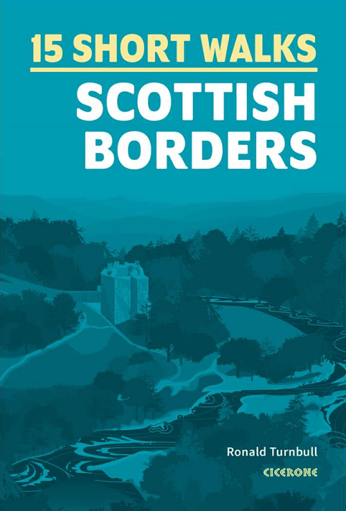
Wandelgids Scottish Borders, 15 Short Walks - Cicerone
15 Short Walks in St Abbs Head- Eyemouth Shores- Wideopen Hill...


Korte omschrijving
Wandelgidsen Borders Eastern Schotland en Schotse grenzen van CICERONE Press. Ideaal voor tochten in England.
Wandelgids Scottish Borders - Cicerone Productomschrijving: Would you like to explore the best of the Scottish Borders? This guidebook covers 15 of the best short walks in the area (between...

Specificaties
- Uitgever: CICERONE Press
- ISBN-13: 9781786312518
- HOOFDCATEGORIEËN: Wandelgids
- Activiteiten: Wandelen, Hiking & Trekking
- Auteur: Ronald Turnbull
- Regio: Borders Eastern Schotland, Schotse grenzen
- Land: England
- Editie: 1
- Taal: Engels
- De Engelse Graafschappen: Scottisch Borders
Volledige omschrijving
Wandelgids Scottish Borders - Cicerone
Productomschrijving: Would you like to explore the best of the Scottish Borders? This guidebook covers 15 of the best short walks in the area (between 6 and 11.5km, all under three hours), including St Abbs Head, Eyemouth Shores, Wideopen Hill, Eildon Hills, Hawick, Peebles and Neidpath Castle.
Why choose this guidebook?
- Easy to moderate walks suitable for almost everyone
- Short climbs but no challenging terrain
- Numbered points which tie OS maps to clear route description
- Facilities, parking and highlights for every route
- Route Summary Table to help you choose your walk
Cicerone’s Short Walks guidebooks contain everything you need to get outdoors and discover the best of an area. The routes are perfect if you’re new to walking or looking for something you can enjoy with the whole family. Let the adventures begin!

Artikelen uit dezelfde regio
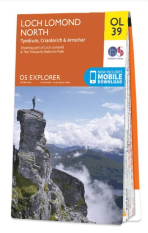
Wandelkaart OL39 Loch Lomond North & Tyndrum - OS • 9780319242780
Wandelkaart Loch Lomond North & Tyndrum - OS Productomschrijving: Loch Lomond North & Tyndrum, Crianlarich & Arrochar, part of Loch Lomond & The Trossachs National Park. Omvat: Loch Lomond North & Tyndrum, Crianlarich & Arrochar, part of Loch Lomond & The Trossachs National Park. Ontdek de OL-serie van Ordnance Survey: De OL-serie (Outdoor Leisure) van Ordnance Survey is dé refe…

Wandelkaart 331 Teviotdale South - Schotisch Borders - OSI • 9780319245835
Wandelkaart Teviotdale South - Schotisch Borders Omvat ook: Hawick. Productbeschrijving: OS Explorer kaart 331 omvat de rivier Teviot in Teviotdale, de stad van Hawick en de omliggende dorpen. Het terrein is gevarieerd, met zachte valleien oplopend tot enkele steile hellingen en halfhoge pieken. De OS Explorer kaart voor Teviotdale zuiden is beschikbaar in zowel de standaard papieren v…

Wandelgids Hadrian's Wall Path National Trail - Cicerone • 9781786311504
Hadrian's Wall Path National Trail - Cicerone Productomschrijving: Hadrians Wall Path gids om het 135 km lange National Trail te lopen. Beschreven in beide richtingen, is de hoofdbeschrijving van west naar oost tussen Bowness-on-Solway en Wallsend, Newcastle, met uitbreidingen naar Maryport en South Shields. Met uitgebreide historische informatie over dit Werelderfgoed en een apart boekje …

Wandelgids 088 Pathfinder guides Scottish Borders - OS • 9780319092583
Wandelgids Scottish Borders - OS Productomschrijving: Opening with a gentle short walk at Hawick, visiting Wilton Lodge Park is the company of the River Teviot, and concluding with a more challenging ramble to the north of Melrose, walks are arranged in the book by completion time, with shorter and easier routes at the start and longer outings at the end. Walks are professionally authored …
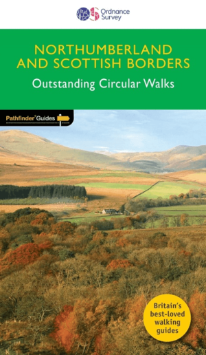
Wandelgids 035 Pathfinder guides Northumberland- Scottish Borders • 9780319090268
Wandelgids Northumberland & Scottish Borders - OS Productomschrijving: This revised version of the Pathfinder walking guidebook for Northumberland and the Scottish Borders contains 28 carefully selected walking routes to help you make the most of the area. All the routes have been created and tested by seasoned walkers, and range from two to thirteen miles in length. Each route include…