

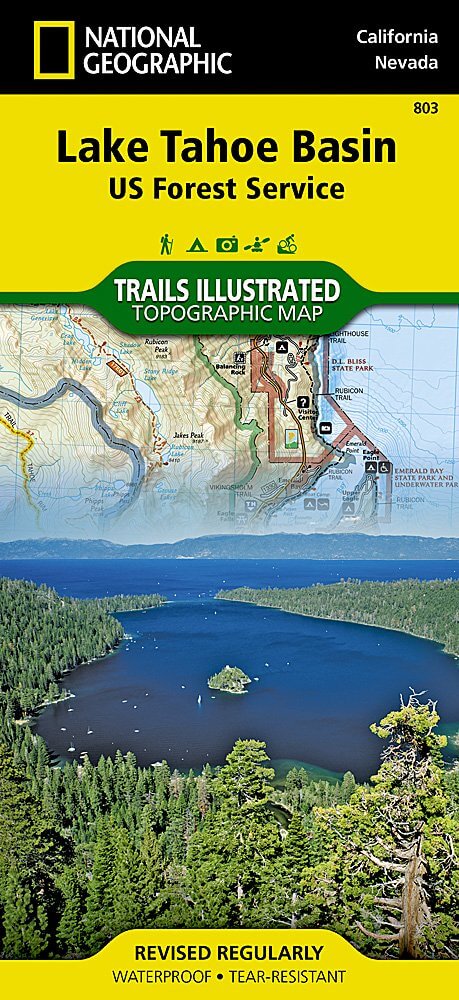
Wandelkaart 803 Lake Tahoe Basin - California - Nat Geo
Lake Tahoe Basin is een bosgebied in het Sierra Nevada-gebergte
Korte omschrijving
Wandelkaarten Californië, USA van National Geographic. Ideaal voor tochten in Verenigde Staten van Amerika (USA).
TOPO Wandelkaart 803 - Lake Tahoe Basin - California - Nat Geo Productomschrijving: Lake Tahoe Basin is een bosgebied in het Sierra Nevada-gebergte in de Verenigde Staten, dat als National F...

Specificaties
- Uitgever: National Geographic
- ISBN-13: 9781566953344
- HOOFDCATEGORIEËN: Wandelkaart
- Auteur: National Geographic
- Regio: Californië, USA
- Land: Verenigde Staten van Amerika (USA)
- TOPO's & Stafkaarten: Topografisch wandelen
- Schaal: 1:63360
- Taal: Engels
Volledige omschrijving
TOPO Wandelkaart 803 - Lake Tahoe Basin - California - Nat Geo
Productomschrijving: Lake Tahoe Basin is een bosgebied in het Sierra Nevada-gebergte in de Verenigde Staten, dat als National Forest. Het bosgebied ligt verspreid over Placer, El Dorado en Alpine County in Californië en Washoe en Douglas County en Carson City in Nevada.
Engelse omschrijving: The largest alpine lake in North America, Lake Tahoe straddles the border of California and Nevada. It's unusually clear waters and surrounding Sierra Nevada mountains make it one of the most beautiful lakes in the world. National Geographic's Trails Illustrated map of Lake Tahoe Basin delivers unmatched detail and valuable information to assist you in enjoying the year-round recreational opportunities this region offers. Expertly researched and created in partnership with local land management agencies, this map includes Desolation Wilderness; Prosser Creek Reservoir; Granite Chief and Mount Rose wilderness areas; and El Dorado, Humboldt-Toiyabe and Tahoe National Forests. In addition, the following state parks are included: Donner Memorial, Ed Z'berg Sugar Pine Point, Emerald Bay, D.L. Bliss, Lake Tahoe Nevada, Burton Creek, and Washoe Lake.
Whether you're exploring Lake Tahoe Basin on foot, or by horse, motorcycle or ATV, the handy trail chart will prove a useful tool in your travels. The popular Pacific Crest and Tahoe Rim trails are clearly noted. A chart of ski and snowboard resorts includes their location on the map, as well as the number of lifts and runs. The map base includes contour lines and elevations for summits, passes and many lakes. The bathymetry of Lake Tahoe is shown with both contours and hill shading. Recreation features are clearly marked, including campgrounds, trailheads, swimming areas, fishing access and scuba diving areas. Every Trails Illustrated map is printed on "Backcountry Tough" waterproof, tear-resistant paper. A full UTM grid is printed on the map to aid with GPS navigation.
Other features found on this map include: Carson Range, Desolation Wilderness, Donner Pass, Eldorado National Forest, Granite Chief Wilderness, Mt. Rose Wilderness, South Lake Tahoe, Tahoe National Forest, Toiyabe National Forest, Truckee, Washoe Lake.

Locatie op kaart
Artikelen uit dezelfde regio

Wandelkaart 810 Shaver Lake - Sierra National Forest - Nat Geo • 9781566952422
Shaver Lake - Sierra National Forest - Nat Geo Omvat: Ansel Adams Wilderness, Bass Lake, Chowchilla Mountains, Courtright Reservoir, Dinkey Lakes Wilderness, John Muir Wilderness, Kaiser Wilderness, Mammoth Pool Reservoir, Nelson Mountain, Sequoia National Forest, Shaver Lake, Sierra National Forest, Wishon Reservoir, Yosemite National Park. Engelse omschrijving: National Geographic's …

Stadskaart plattegrond San Francisco USA - Borch • 9783866093317
Wandelkaart San Francisco USA - Borch Productomschrijving: Our soft-laminated folded map of San Francisco in the 16th edition shows: San Francisco Downtown 1:13 000, Alcatraz Island 1: 15 000, Golden Gate Park 1:13 000, San Francisco and Region 1:150 000, San Francisco Bay Area 1:400 000, Public Transport San Francisco, Top 30 Sights and USA administrative and time zones. Borch maps are ea…
Reisgids San Francisco pocket guide - Lonely Planet • 9781787014114
San Francisco pocket guide - Lonely Planet Coverage Includes: Golden Gate Bridge, The Marina, Fisherman’s Wharf, North Beach, Chinatown, Downtown, SoMa, Hayes Valley, Civic Center, The Mission, The Haight, Golden Gate Park, and more Product description: Lonely Planet Pocket San Francisco is your passport to the most relevant, up-to-date advice on what to see and skip, and what hidden d…
Wandelkaart 306 Yosemite SW- Yosemite Valley - Nat Geo • 9781566953627
Yosemite SW- Yosemite Valley & Wawona - Nat Geo Productomschrijving: De Yosemite Valley is een populaire toeristische bestemming, die elk jaar miljoenen bezoekers ontvangt. De gletsjervallei, omlijst door ontzagwekkende granietformaties als El Capitan en Half Dome, staat bekend om zijn dramatische watervallen, reusachtige sequoia's en biologische diversiteit. National Geographic's Trails I…

Wandelkaart 811 Angeles National Forest - Natgeo • 9781566955775
Wandelkaart Angeles National Forest, California USA (9781566955775) National Geographic Productomschrijving: Een bosgebied in de onmiskenbare San Gabriel Mountains in het zuiden van de Amerikaanse staat Californië. Het bestaat uit twee delen die van elkaar gescheiden worden door de Soledad Canyon. Het Angeles National Forest reikt tot net over de grens met San Bernardino County in het oost…