

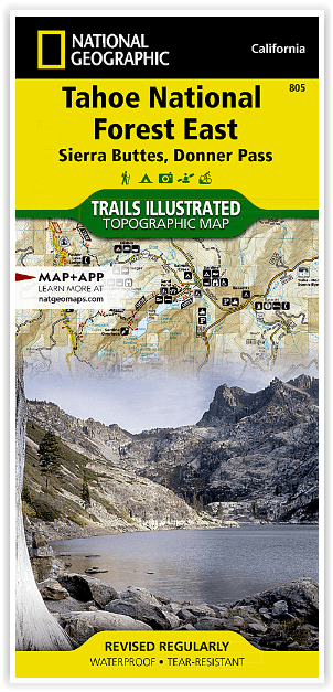
Wandelkaart 805 Tahoe Nat. Forest East - Sierra Buttes - Nat Geo
French Meadows - New Bullards Bar - Granite Chief Wilderness
Korte omschrijving
Wandelkaarten Californië, USA van National Geographic. Ideaal voor tochten in Verenigde Staten van Amerika (USA).
Tahoe National Forest East - Sierra Buttes - Nat Geo Omvat: Donner Pass, Eldorado National Forest, Granite Chief Wilderness, Mosquito Ridge, Plumas National Forest, Sawtooth Ridge, Tahoe Nat...

Specificaties
- Uitgever: National Geographic
- ISBN-13: 9781566953818
- HOOFDCATEGORIEËN: Wandelkaart
- Activiteiten: Wandelen, Hiking & Trekking
- Auteur: National Geographic
- Regio: Californië, USA
- Land: Verenigde Staten van Amerika (USA)
- Waterafstotende kaart: Nat Geo waterproof series
- TOPO's & Stafkaarten: Topografisch wandelen
- Schaal: 1:63360
- Taal: Engels
Volledige omschrijving
Tahoe National Forest East - Sierra Buttes - Nat Geo
Omvat: Donner Pass, Eldorado National Forest, Granite Chief Wilderness, Mosquito Ridge, Plumas National Forest, Sawtooth Ridge, Tahoe National Forest, Truckee.
Engelse omschrijving: Expertly researched and created in partnership with the U.S. Forest Service and others, National Geographic's Trails Illustrated map of Yuba and American Rivers region of Tahoe National Forest provides an unparalleled tool for exploring this historically significant region of the Sierras. Whatever the season, you'll find this map a useful tool in pursuing a host of recreational activities from skiing and snowmobiling to camping and boating. The map features many key points of interest, including French Meadows and New Bullards Bar Reservoirs, Granite Chief Wilderness, South Yuba River Recreation Area, Malakoff Diggins State Historic Park, Donner Memorial State Park and the western rim of the Lake Tahoe Basin Management Unit.
The Tahoe National Forest West map can guide you off the beaten path and back again with miles of clearly marked trails including portions of the Pacific Crest, Pioneer, and Tahoe Rim trails. To help you choose the path that's right for you, trails are color coded according to the designated usage and mileage between intersections is indicated. The Yuba Donner scenic byways is noted for those wishing to take in the scenery by car. Many recreation features are noted as well, including ski areas, campgrounds, trailheads, wildlife viewing areas, boat launches, and swimming and fishing areas. The map base includes contour lines and elevations for summits, passes and many lakes.
Every Trails Illustrated map is printed on "Backcountry Tough" waterproof, tear-resistant paper. A full UTM grid is printed on the map to aid with GPS navigation.
Locatie op kaart
Artikelen uit dezelfde regio

Landkaart Wegenkaart Sierra Nevada State guide map - Nat Geo • 9781597754491
Wegenkaart Sierra Nevada State guide map - Nat Geo Productomschrijving: National Geographic's Sierra Nevada Destination Map strikes the perfect balance between map and guidebook and is an ideal resource for touring the rugged landscape of this culturally and geographically unique region of California and Nevada. The front side of the print map reveals a detailed map of the region stret…
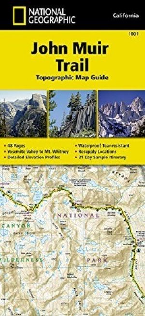
Wandelkaart 1001 - John Muir Trail - Nat Geo • 9781566956895
TOPO Wandelkaart 1001 - John Muir Trail - National Geographic Productomschrijving: De John Muir Trail - is een langeafstandswandelpad in het Sierra Nevada-gebergte in de Amerikaanse staat Californië. Het is vernoemd naar de Schots-Amerikaanse natuurvorser en schrijver John Muir, die een cruciale rol speelde in de bescherming van de nationale parken van Californië. Het 338,6 kilometer lange…

Wandelkaart 218 Redwood National & State Parks - Nat Geo • 9781566953191
Redwood National & State Parks California - Nat Geo Omvat: Big Lagoon, Klamath National Forest, Klamath River, Lake Earl, Maple Creek, Pelican Bay, Point Saint George, Redwood, Rocky Point, Saint George Reef, Siskiyou Mountains, Siskiyou National Forest, Siskiyou Wilderness, Six Rivers National Forest, Smith River, Trinidad Head. Engelse omschrijving: Let National Geographic's Trails I…

Reisgids Los Angeles & Southern California - Lonely planet • 9781787017085
Los Angeles & Southern California - Lonely planet Productomschrijving: Cruise the slow lanes of the Pacific Coast Highway, ride in spinning teacups at Disneyland Resort, or hit the trails in Joshua Tree National Park, all with your trusted travel companion. Begin your journey now! - Full-color maps and images throughout - Highlights and itineraries help you tailor your trip to your p…
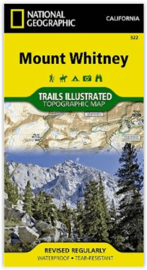
Wandelkaart 322 Mount Whitney California - Nat Geo • 9781566956468
Wandelkaart Mount Whitney California - Nat Geo Productomschrijving: Mount Whitney is universeel bekend als de hoogste piek in de aangrenzende Verenigde Staten, evenals het hoogste punt in Californië. National Geographic's Trails Illustrated kaart van Mount Whitney levert ongeëvenaarde details en waardevolle informatie om je te helpen bij je verkenning van dit prachtige gebied. Deze ka…