

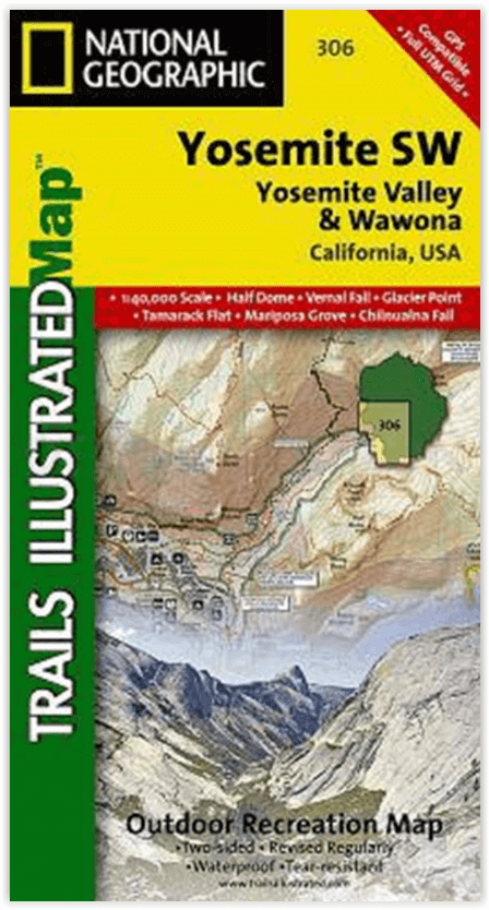
Wandelkaart 306 Yosemite SW- Yosemite Valley - Nat Geo
Yosemite Valley is een populaire toeristische bestemming
Korte omschrijving
Wandelkaarten Californië, USA van National Geographic. Ideaal voor tochten in Verenigde Staten van Amerika (USA).
Yosemite SW- Yosemite Valley & Wawona - Nat Geo Productomschrijving: De Yosemite Valley is een populaire toeristische bestemming, die elk jaar miljoenen bezoekers ontvangt. De gletsjervallei...

Specificaties
- Uitgever: National Geographic
- ISBN-13: 9781566953627
- HOOFDCATEGORIEËN: Wandelkaart
- Activiteiten: Wandelen, Hiking & Trekking
- Auteur: National Geographic
- Regio: Californië, USA
- Land: Verenigde Staten van Amerika (USA)
- Nationale parken: Yosemeti NP, California USA
- TOPO's & Stafkaarten: Topografisch wandelen
- Schaal: 1:40000
- Taal: Engels
Volledige omschrijving
Yosemite SW- Yosemite Valley & Wawona - Nat Geo
Productomschrijving: De Yosemite Valley is een populaire toeristische bestemming, die elk jaar miljoenen bezoekers ontvangt. De gletsjervallei, omlijst door ontzagwekkende granietformaties als El Capitan en Half Dome, staat bekend om zijn dramatische watervallen, reusachtige sequoia's en biologische diversiteit. National Geographic's Trails Illustrated kaart van Yosemite SW: Yosemite Valley en Wawona levert ongeëvenaarde details en waardevolle informatie om u te helpen bij uw verkenning van deze spectaculaire wildernis. Gemaakt in samenwerking met lokale landbeheerders, toont deze deskundig onderzochte kaart belangrijke gebieden van belang, waaronder Yosemite Valley, Wawona, White Wolf, Merced en South Fork Merced rivieren, en Sierra National Forest.
Ontworpen met een breed scala van bezoekers in het achterhoofd, bevat deze kaart gedetailleerde en gemakkelijk te lezen paden met kilometerstanden tussen kruispunten, een nauwkeurig wegennet, kampeerterreinen, trailheads, overnachtingsmogelijkheden, toiletten, en eetgelegenheden. Delen van de Pacific Crest en John Muir trails zijn duidelijk gemarkeerd. Een verscheidenheid aan nuttige informatie over wildernis wandelen en kamperen, vergunningen, veiligheid van beren, en overlevingstips is ook opgenomen. De kaartbasis bevat hoogtelijnen en hoogtes voor toppen en vele meren.
Engelse omschrijving: The Yosemite Valley is a popular tourist destination, hosting millions of visitors each year. The glacial valley framed by such awe-inspiring granite formations as El Capitan and Half Dome is known for its dramatic waterfalls, giant sequoia groves, and biological diversity. National Geographic's Trails Illustrated map of Yosemite SW: Yosemite Valley and Wawona delivers unmatched detail and valuable information to assist you in your exploration of this spectacular wilderness. Created in partnership with local land management agencies, this expertly researched map features key areas of interest including Yosemite Valley, Wawona, White Wolf, Merced and South Fork Merced rivers, and Sierra National Forest.
Designed with a wide range of visitors in mind, this map features detailed and easy to read trails that include mileage between intersections, accurate road network, campgrounds, trailheads, lodging, restrooms, and food services. Sections of the Pacific Crest and John Muir trails are clearly marked. A variety of helpful information about wilderness hiking and camping, permits, bear safety, and survival tips is included as well. The map base includes contour lines and elevations for summits and many lakes.
Every Trails Illustrated map is printed on "Backcountry Tough" waterproof, tear-resistant paper. A full UTM grid is printed on the map to aid with GPS navigation.
Other features found on this map include: Bridalveil Fall, Chowchilla Mountains, El Capitan, Illilouette Falls, Lower Yosemite Fall, Nevada Fall, Ribbon Fall, Sierra National Forest, Silver Strand Falls, Stanislaus National Forest, Upper Yosemite Falls, Vernal Fall, Yosemite National Park, Yosemite Valley.
Locatie op kaart
Overzichtskaarten

NAT GEO California trail maps
NAT GEO California trail maps

Producten op de overzichtskaart
Klik op een product om naar de detailpagina te gaan.
- Wandelkaart 205 Sequoia & Kings Canyon NP - California
- Wandelkaart 218 Redwood National & State Parks - Nat Geo
- Wandelkaart 221 Death Valley NP - Nevada - Natgeo
- Wandelkaart 226 Joshua Tree NP - California - Nat Geo
- Wandelkaart 256 Mojave National park California - Nat Geo
- Wandelkaart 306 Yosemite SW- Yosemite Valley - Nat Geo
- Wandelkaart 307 Yosemite NP North West - Nat Geo
- Wandelkaart 308 Yosemite NE- Tuolumne Meadows - Nat Geo
Artikelen uit dezelfde regio
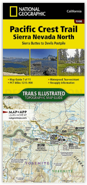
Wandelkaart 1008 Pacific Crest Trail - Nat Geo • 9781566957908
Wandelkaart Pacific Crest Trail - Nat Geo Productomschrijving: De Pacific Crest Trail, die in de topografische kaartengids voor de Sierra Nevada North staat aangegeven, loopt door subalpiene bossen en vulkanische rotsformaties en blijft dicht bij de Sierra Crest. De John Muir Trail loopt 160 mijl samen met de PCT en splitst zich in het westen van de PCT bij Tuolumne Meadows in Yosemite Nat…

Wandelkaart 218 Redwood National & State Parks - Nat Geo • 9781566953191
Redwood National & State Parks California - Nat Geo Omvat: Big Lagoon, Klamath National Forest, Klamath River, Lake Earl, Maple Creek, Pelican Bay, Point Saint George, Redwood, Rocky Point, Saint George Reef, Siskiyou Mountains, Siskiyou National Forest, Siskiyou Wilderness, Six Rivers National Forest, Smith River, Trinidad Head. Engelse omschrijving: Let National Geographic's Trails I…

Reisgids Los Angeles & Southern California - Lonely planet • 9781787017085
Los Angeles & Southern California - Lonely planet Productomschrijving: Cruise the slow lanes of the Pacific Coast Highway, ride in spinning teacups at Disneyland Resort, or hit the trails in Joshua Tree National Park, all with your trusted travel companion. Begin your journey now! - Full-color maps and images throughout - Highlights and itineraries help you tailor your trip to your p…

Wandelgids Best Day Walks California - Lonely Planet • 9781838691172
Best Day Walks California - Lonely Planet Productomschrijving: Lonely Planet's Best Day Walks Californië is uw paspoort met 60 gemakkelijke wandel ontsnappingen in de natuur. Strek je benen weg van de stad door een wandeling te kiezen die bij je past, van een paar uur tot een hele dag, van gemakkelijk tot zwaar. Verken Yosemite National Park, bewonder de sequoia's en wandel door Gold Count…

Wandelkaart 221 Death Valley NP - Nevada - Natgeo • 9781566953214
TOPO Wandelkaart 221 - Death Valley NP - Nevada - Nat Geo Productomschrijving: Death Valley National Park is een Amerikaans nationaal park die de California—Nevada grens aanraakt, ten oosten van de Sierra Nevada. De grenzen omvatten Death Valley, het noordelijk deel van Panamint Valley, het zuidelijk deel van Eureka Valley, en het de meerderheid van Saline Valley. Engelse omschrijving…