

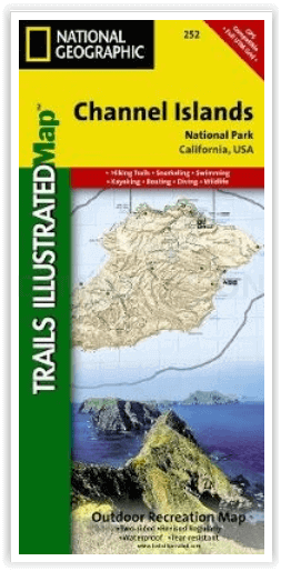
Wandelkaart 252 Channel Islands National Park - Nat Geo
Deze eilanden zijn gelegen voor de kust van Californië
Korte omschrijving
Wandelkaarten Californië, USA van National Geographic. Ideaal voor tochten in Verenigde Staten van Amerika (USA).
Channel Islands National Park - Nat Geo Productomschrijving: De Channel Islands Nationaal Park, gelegen voor de kust van Californië, zijn de thuisbasis van vele unieke soorten flora en fauna...

Specificaties
- Uitgever: National Geographic
- ISBN-13: 9781566954105
- HOOFDCATEGORIEËN: Wandelkaart
- Activiteiten: Wandelen, Hiking & Trekking
- Auteur: National Geographic
- Regio: Californië, USA
- Land: Verenigde Staten van Amerika (USA)
- Nationale parken: Channel Islands NP, California USA
- TOPO's & Stafkaarten: Topografisch wandelen
- Schaal: 1:50000
- Taal: Engels
- De beroemdste Eilandengroepen: Channel Islands (England)
Volledige omschrijving
Channel Islands National Park - Nat Geo
Productomschrijving: De Channel Islands Nationaal Park, gelegen voor de kust van Californië, zijn de thuisbasis van vele unieke soorten flora en fauna. National Geographic's Trails Illustrated kaart van Channel Islands National Park bestrijkt met ongeëvenaard detail de vijf eilanden die het park omvat, inclusief The Nature Conservancy gebied van Santa Cruz Island en de vele State Marine Reserve Areas rondom de eilanden. Deskundig onderzocht en gemaakt in samenwerking met de National Park Service en anderen, geeft de kaart achtergrondinformatie van het park en van elk afzonderlijk eiland, samen met de voorschriften en richtlijnen. Daarnaast wordt informatie gegeven over het vervoer naar de eilanden en worden waarschuwingen gegeven voor de veiligheid op het land (wandelen), in het water (zwemmen, snorkelen en duiken) en bij het varen (en kajakken).
Engelse omschrijving: Located just off the California shore, the Channel Islands are home to many unique species of flora and fauna. National Geographic's Trails Illustrated map of Channel Islands National Park covers with unparalleled detail the five islands that encompass the park, including The Nature Conservancy area of Santa Cruz Island and the many State Marine Reserve Areas surrounding the islands. Expertly researched and created in partnership with the National Park Service and others, the map provides background information of the park and of each individual island along with its regulations and guidelines. In addition, information regarding transportation to the islands is given as well as land (hiking), water (swimming, snorkeling and diving) and boating (and kayaking) safety warnings.
Each island is shown with a trail guide, listing trail start and destination points, distances and difficulty. Trails are mapped with mileage markers and coded according to trail type. Island roads, which can also be used use for hiking, are shown as well. An inset map of the Scorpion Area provides extra detail of this popular area. The map includes contour lines, elevations, labeled peaks, selected waypoints, water features and areas of wooded cover. Moreover, many recreation features and facilities are pinpointed, such as ranger stations, campgrounds, restroom, picnic areas and historic buildings.
Every Trails Illustrated map is printed on "Backcountry Tough" waterproof, tear-resistant paper. A full UTM grid is printed on the map to aid with GPS navigation.
Other features found on this map include: Anacapa Passage, Channel Islands National Park, Encino Reservoir, Franklin Canyon Reservoir, Laguna Point, Point Dume, San Fernando Valley, San Miguel Island, San Miguel Passage, Santa Barbara Island, Santa Cruz Channel, Santa Cruz Island, Santa Monica Mountains, Santa Rosa Island, Sepulveda Dam, Stone Canyon Reservoir.
Locatie op kaart
Artikelen uit dezelfde regio
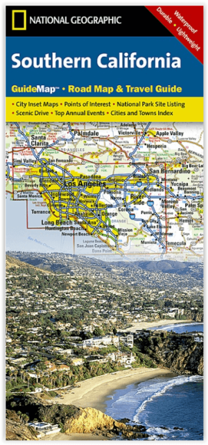
Landkaart Wegenkaart Southern California State Guide map- Nat Geo • 9781597750158
Wegenkaart California Southern State Guide map - Nat Geo Productomschrijving: National Geographic's Southern California Guide Map provides travelers with the perfect combination of detail and perspective in a highly functional travel tool. Both comprehensive map and mini-guidebook, this map provides information on many points of interest, the cities of Los Angeles and San Diego, and Sequoi…

Reisgids Los Angeles & Southern California - Rough Guides • 9781848365834
Reisgids Los Angeles & Southern California - Rough Guides Productomschrijving: The Rough Guide to Los Angeles & Southern California is the definitive guide to the region. Whether you're looking for inspiring accommodation or great places to eat, you'll find the solution with hundreds of restaurant, hotel, nightlife and shop reviews. Along with a thorough look at LA's top tourist areas, fro…

Wandelkaart 811 Angeles National Forest - Natgeo • 9781566955775
Wandelkaart Angeles National Forest, California USA (9781566955775) National Geographic Productomschrijving: Een bosgebied in de onmiskenbare San Gabriel Mountains in het zuiden van de Amerikaanse staat Californië. Het bestaat uit twee delen die van elkaar gescheiden worden door de Soledad Canyon. Het Angeles National Forest reikt tot net over de grens met San Bernardino County in het oost…
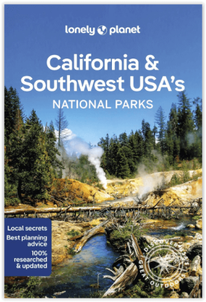
Wandelgids California & Southwest USA's NP's - Lonely Planet • 9781838696061
Wandelgids California & Southwest USA's National Parks Productomschrijving: Lonely Planet's California and Southwest USA's National Parks is uw paspoort voor het meest actuele advies over wat je moet zien en overslaan. Wandel door de Grand Canyon, bewonder Sequoia en jaag op watervallen in Yosemite; allemaal met je vertrouwde reisgenoot. Duik in het hart van de nationale parken van Califor…

Wandelkaart 226 Joshua Tree NP - California - Nat Geo • 9781566953009
TOPO Wandelkaart 226 - Joshua Tree NP- California - Nat Geo Productomschrijving: Het Joshua Tree National Park is een nationaal park in het zuiden van de staat Californië in de Verenigde Staten, ten oosten van het gebied tussen Los Angeles en San Diego en ten noorden van Palm Springs. De afmetingen zijn ongeveer 100 km van oost naar west, en 50 km van noord naar zuid. Engelse omschrij…