

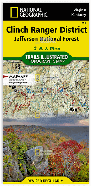
Wandelkaart 793 Clinch Ranger District USA - Nat Geo
Nat Geo's Trails Illustrated kaart van Clinch Ranger District
Korte omschrijving
Wandelkaarten Kentucky, USA en Virginia, USA van National Geographic. Ideaal voor tochten in Verenigde Staten van Amerika (USA).
Clinch Ranger District USA - Nat Geo Productomschrijving: National Geographic's Trails Illustrated kaart van Clinch Ranger District bestrijkt het zuidelijkste deel van Jefferson National For...

Specificaties
- Uitgever: National Geographic
- ISBN-13: 9781566951500
- HOOFDCATEGORIEËN: Wandelkaart
- Activiteiten: Wandelen, Hiking & Trekking
- Auteur: National Geographic
- Regio: Kentucky, USA, Virginia, USA
- Land: Verenigde Staten van Amerika (USA)
- TOPO's & Stafkaarten: Topografisch wandelen
- Schaal: 1:75000
- Taal: Engels
Volledige omschrijving
Clinch Ranger District USA - Nat Geo
Productomschrijving: National Geographic's Trails Illustrated kaart van Clinch Ranger District bestrijkt het zuidelijkste deel van Jefferson National Forest dat de grens tussen Virginia en Kentucky en aangrenzende recreatiegebieden doorkruist. Gemaakt in samenwerking met de U.S. Forest Service en anderen, deze deskundig onderzochte kaart is een uitgebreide avontuurlijke gids voor het gebied voor zowel ervaren als beginnende enthousiastelingen. Met een overvloed aan mogelijke recreatieve mogelijkheden, zullen de activiteiten en trail gidsen u helpen een gebied te kiezen om te verkennen, afhankelijk van uw ervaring en interesses.
De activiteitengids belicht beschikbare faciliteiten en recreatieactiviteiten in verschillende gebieden binnen het National Forest, Breaks Interstate Park, Kingdom Come State Park, Natural Bridge State Park en John W. Flannagan Reservoir. Trails in de trail gids zijn vermeld met hun kilometerstand, moeilijkheidsgraad en geschikt gebruik, hetzij wandelen, mountainbiken, paardrijden, gedeeld gebruik, of 4x4 voertuig.
De paden zijn aangegeven met kilometerpalen tussen de kruispunten. Om de navigatie te vergemakkelijken toont de reliëfkaart hoogtelijnen, hoogteverschillen, waterpartijen en een compleet wegennet van het gebied, inclusief de Country Music Highway en diverse state scenic byways. Andere aangegeven recreatiemogelijkheden zijn campings, camperplaatsen en stortplaatsen, picknickplaatsen en schuilhutten, boothellingen en zwemplaatsen, visplaatsen, watervallen, watervallen en schilderachtige uitzichtpunten.
Engelse omschrijving: National Geographic's Trails Illustrated map of Clinch Ranger District covers the southernmost section of Jefferson National Forest that straddles the Virginia-Kentucky border and neighboring recreation areas. Created in cooperation with the U.S. Forest Service and others, this expertly researched map is a comprehensive adventure guide to the area for experienced and novice enthusiasts alike. With an abundance of possible recreational opportunities, activity and trail guides will help you select an area to explore, according to your experience and interests.
The activity guide highlights available facilities and recreation activities in various areas within the National Forest, Breaks Interstate Park, Kingdom Come State Park, Natural Bridge State Park and John W. Flannagan Reservoir. Trails in the trail guide are listed with their mileage, difficulty and suitable use, either hiking, mountain biking, equestrian, shared-use, or 4x4 vehicle. Trails are mapped with mileage markers between intersections. To aid in your navigation, the shaded relief map displays contour lines, elevations, water features and a complete road network of the area including the Country Music Highway and various state scenic byways. Other recreation features pinpointed include campgrounds, RV campgrounds and dump stations, picnic areas and shelters, boat ramps and swimming areas, fishing holes, waterfalls, waterfalls and scenic viewpoints.
Every Trails Illustrated map is printed on "Backcountry Tough" waterproof, tear-resistant paper. A full UTM grid is printed on the map to aid with GPS navigation.
Other features found on this map include: Big Moccasin Creek, Black Mountain, Copper Ridge, Jefferson National Forest, Little Black Mountain, Moccasin Ridge, Pound River, Stone Mountain, Wallen Ridge.
Locatie op kaart
Overzichtskaarten

NAT GEO Virginia trail maps
NAT GEO Virginia trail maps

Producten op de overzichtskaart
Klik op een product om naar de detailpagina te gaan.
- Wandelkaart 228 Shenandoah NP - Virginia USA - Nat Geo
- Wandelkaart 229 Great Smoky Mountains NP- Tennessee - Nat Geo
- Wandelkaart 318 Mount Rogers High Country - Virginia - Nat Geo
- Wandelkaart 773 New River Blueway- Virginia USA - Nat Geo
- Wandelkaart 788 Covington- Alleghany Highlands - Nat Geo
- Wandelkaart 793 Clinch Ranger District USA - Nat Geo

NAT GEO Tennessee
NAT GEO Tennessee

Producten op de overzichtskaart
Klik op een product om naar de detailpagina te gaan.
Artikelen uit dezelfde regio
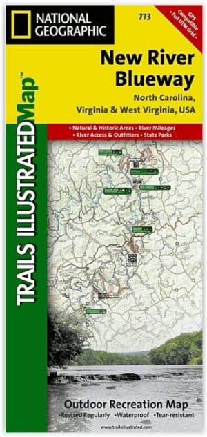
Wandelkaart 773 New River Blueway- Virginia USA - Nat Geo • 9781566952637
New River Blueway- Virginia USA - Nattional Geographic Productomschrijving: De New River stroomt meer dan 250 mijl noordwaarts vanaf haar oorsprong in de Blue Ridge Mountains van North Carolina en slingert door de bergen, glooiende heuvels en landbouwgrond in Virginia, om vervolgens door te rollen naar de steile kloven van West Virginia's kolenland. National Geographic's Trails Illustrated…

Wandelkaart 234 Mammoth Cave NP- Kentucky - Nat Geo • 9781566952361
TOPO Wandelkaart 234 - Mammoth Cave NP- Kentucky - Nat Geo Productomschrijving: Mammoth Cave National Park is een Amerikaans nationaal park in centraal Kentucky. Mammoth Cave beschikt over het grootste door de mens gemaakte cave systeem ter wereld. Engelse omschrijving: The world's longest known cave system, Mammoth Cave is a fascinating and beautiful labyrinth located below the equall…
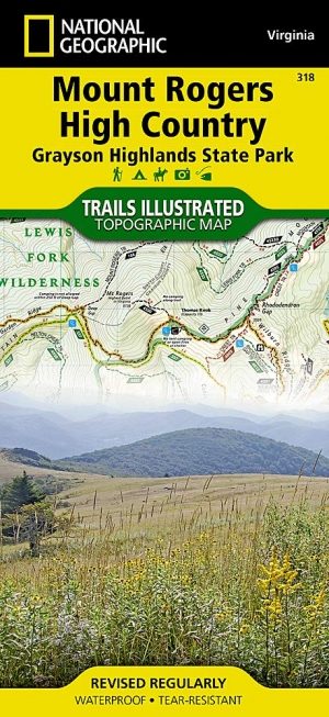
Wandelkaart 318 Mount Rogers High Country - Virginia - Nat Geo • 9781566956642
TOPO Wandelkaart - Mount Rogers High Country - Nat Geo Productomschrijving: Mount Rogers is het hoogste punt in de regio van Virginia in de United States, met pieken tot 1,746 m boven de zeespiegel. Engelse omschrijving: Let National Geographic guide you to the highest areas in southwestern Virginia with our Trails Illustrated map of Mount Rogers High Country and Grayson Highlands Stat…
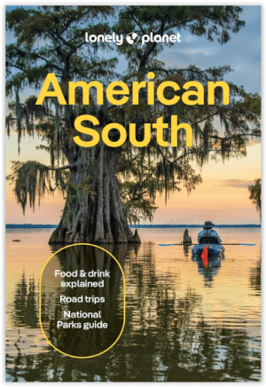
Reisgids America's South - Lonely Planet • 9781837588183
Reisgids America's South - Lonely Planet Productomschrijving: Lonely Planet's local travel experts reveal all you need to know to plan the trip of a lifetime in this latest edition of our guide to American South. Discover American South's most popular experiences and best kept secrets from getting back to nature and hiking up mist-shrouded peaks in the Great Smoky Mountains National Park; …

Wandelkaart 1503 Appalachian Trail - Deel 3 - Natgeo • 9781597756402
Wandelkaart 1503 > Appalachian Trail deel 3 > Damascus-Bailey Gap (9781597756402) Nat Geo Productomschrijving: Deze trail is een wonderbaarlijke route die van Main tot in Atlanta loopt, en ettelijke duizenden Km lang is. De route loopt door de mooiste delen van Oost USA, meerbepaald Virginia e.d. De route wordt jaarlijke door duizenden liefhebbers afgelopen, maar aangezien de route dusdani…