

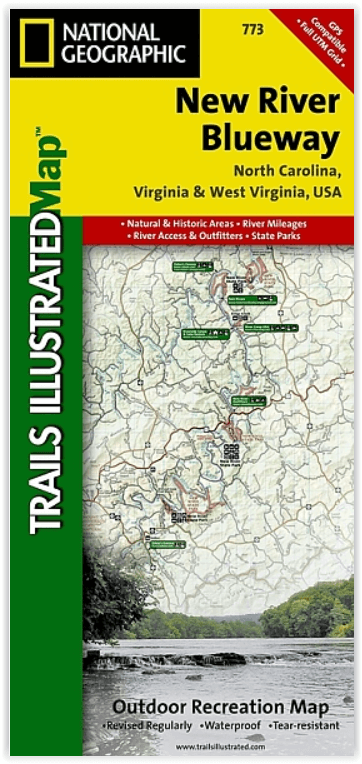
Wandelkaart 773 New River Blueway- Virginia USA - Nat Geo
Blacksburg- Blue Ridge- Bluestone Lake- Boone & Claytor Lake
Korte omschrijving
Wandelkaarten Virginia, USA van National Geographic. Ideaal voor tochten in Verenigde Staten van Amerika (USA).
New River Blueway- Virginia USA - Nattional Geographic Productomschrijving: De New River stroomt meer dan 250 mijl noordwaarts vanaf haar oorsprong in de Blue Ridge Mountains van North Carol...

Specificaties
- Uitgever: National Geographic
- ISBN-13: 9781566952637
- HOOFDCATEGORIEËN: Wandelkaart
- Activiteiten: Wandelen, Hiking & Trekking
- Auteur: National Geographic
- Regio: Virginia, USA
- Land: Verenigde Staten van Amerika (USA)
- Waterafstotende kaart: Nat Geo waterproof series
- TOPO's & Stafkaarten: Topografisch wandelen
- Schaal: 1:110000
- Taal: Engels
Volledige omschrijving
New River Blueway- Virginia USA - Nattional Geographic
Productomschrijving: De New River stroomt meer dan 250 mijl noordwaarts vanaf haar oorsprong in de Blue Ridge Mountains van North Carolina en slingert door de bergen, glooiende heuvels en landbouwgrond in Virginia, om vervolgens door te rollen naar de steile kloven van West Virginia's kolenland. National Geographic's Trails Illustrated kaart van New River Blueway is ontworpen om te voldoen aan de behoeften van outdoor liefhebbers door het combineren van waardevolle informatie met ongeëvenaarde details van deze oude rivier en de omliggende gebieden.
Gemaakt in samenwerking met lokale beheerders, benadrukt deze deskundig onderzochte kaart belangrijke gebieden, waaronder Mount Jefferson State Natural Area; New River Trail State Park; Shot Tower Historic Park; en New River, Bluestone, en Claytor Lake State Parks. Een gedetailleerde inzet van New River Gorge is opgenomen in de gedrukte versie van deze kaart.
Omvat: Blacksburg, Blue Ridge, Bluestone Lake, Boone, Claytor Lake, Clinch Mountain, East River, Flat Top Mountain, Greenbrier River, Iron Mountains, Jefferson National Forest, Lick Mountain, Mount Rogers, Mountain Lake Wilderness, New River Gorge, Peters Mountain, Sinking Creek, Stone Mountains.
Engelse omschrijving: The New River flows north for over 250 miles from its origination in the Blue Ridge Mountains of North Carolina and snakes through the mountains, rolling hills, and farmland in Virginia, and then rolls on to the steep gorges of West Virginia's coal country. National Geographic's Trails Illustrated map of New River Blueway is designed to meet the needs of outdoor enthusiasts by combining valuable information with unmatched detail of this ancient river and surrounding areas.
Created in partnership with local land management agencies, this expertly researched map highlights key areas of interest including Mount Jefferson State Natural Area; New River Trail State Park; Shot Tower Historic Park; and New River, Bluestone, and Claytor Lake state parks. A detailed inset of New River Gorge is provided in the print version of this map.
Whether you're hiking portions of the Appalachian and New River trails, riding the Virginia Highlands Horse Trail, or traveling on the river itself, you'll find trails clearly marked to keep you on the right path. River mileage is noted and a river difficulty scale and safety tips will help keep you out of trouble. An informative summary of each park, as well as outfitter and agency contact information is included as well. Many recreation features are noted, including campgrounds, canoe access, boat launches, trailheads, rental cabins, and areas for skiing, swimming, and fishing. The map base includes contour lines, shaded relief, and elevations for summits.
Every Trails Illustrated map is printed on "Backcountry Tough" waterproof, tear-resistant paper. A full UTM grid is printed on the map to aid with GPS navigation.
Locatie op kaart
Overzichtskaarten

NAT GEO Virginia trail maps
NAT GEO Virginia trail maps

Producten op de overzichtskaart
Klik op een product om naar de detailpagina te gaan.
- Wandelkaart 228 Shenandoah NP - Virginia USA - Nat Geo
- Wandelkaart 229 Great Smoky Mountains NP- Tennessee - Nat Geo
- Wandelkaart 318 Mount Rogers High Country - Virginia - Nat Geo
- Wandelkaart 773 New River Blueway- Virginia USA - Nat Geo
- Wandelkaart 788 Covington- Alleghany Highlands - Nat Geo
- Wandelkaart 793 Clinch Ranger District USA - Nat Geo
Artikelen uit dezelfde regio
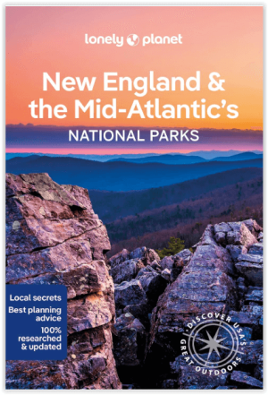
Wandelgids New England & Mid-Atlantic States NP's - Lonely Planet • 9781838696078
New England & Mid-Atlantic States National Parks Productomschrijving: Lonely Planet's New England and the Mid-Atlantic States' National Parks is uw paspoort voor het meest actuele advies over wat u moet zien en overslaan. Fiets over koetswegen, wandel over ladderpaden en scheer over Skyline Drive, allemaal met uw vertrouwde reisgenoot. Duik in het hart van de nationale parken van New Engla…
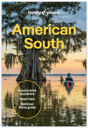
Reisgids America's South - Lonely Planet • 9781837588183
Reisgids America's South - Lonely Planet Productomschrijving: Lonely Planet's local travel experts reveal all you need to know to plan the trip of a lifetime in this latest edition of our guide to American South. Discover American South's most popular experiences and best kept secrets from getting back to nature and hiking up mist-shrouded peaks in the Great Smoky Mountains National Park; …
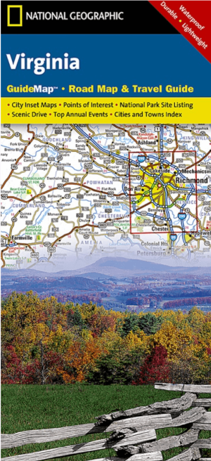
Landkaart Wegenkaart Virginia State guide map - Nat Geo • 9781597750608
Wegenkaart Virginia State guide map - Nat Geo Productomschrijving: National Geographic's Virginia Guide Map is an unparalleled and expertly researched guide to the "Old Dominion." The main map shows the road network, with clear designations for free access and toll highway; interstate, state and country routes; other paved and unpaved roads; and scenic drives with their waysides stops. Maj…
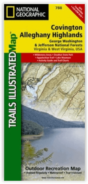
Wandelkaart 788 Covington- Alleghany Highlands - Nat Geo • 9781566951173
Covington- Alleghany Highlands - Nat Geo Productomschrijving: Ontdek de natuurlijke schoonheid, historische locaties en vele recreatiemogelijkheden langs de grensgebieden van Virginia en West Virginia met National Geographic's Trails Illustrated kaart van Covington en Alleghany Highlands. Deze kaart is gemaakt in samenwerking met lokale landbeheerders en biedt ongeëvenaarde details en nutt…
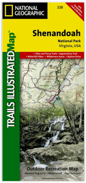
Wandelkaart 228 Shenandoah NP - Virginia USA - Nat Geo • 9781566953658
Wandelkaart Shenandoah National Park - Virginia Productomschrijving: Een uit de kuiten gewaasen topografische wandelkaart van een magestueuz Nationaal park in de staat Virginia in de Verenigde staten van Amerika. Het park is een lange en smalle bergketen die door het westen van staat Virginia loopt. Het park ligt op een bergrug van de Blue Ridge Mountains. Ten westen van de bergrug ligt de…