

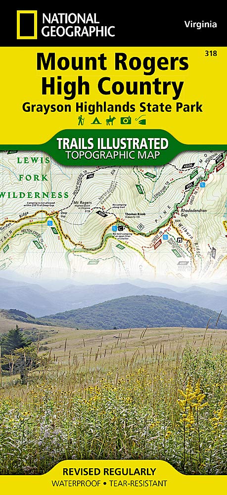
Wandelkaart 318 Mount Rogers High Country - Virginia - Nat Geo
Met pieken tot 1,746 m boven de zeespiegel.
Korte omschrijving
Wandelkaarten Virginia, USA van National Geographic. Ideaal voor tochten in Verenigde Staten van Amerika (USA).
TOPO Wandelkaart - Mount Rogers High Country - Nat Geo Productomschrijving: Mount Rogers is het hoogste punt in de regio van Virginia in de United States, met pieken tot 1,746 m boven de zee...

Specificaties
- Uitgever: National Geographic
- ISBN-13: 9781566956642
- HOOFDCATEGORIEËN: Wandelkaart
- Activiteiten: Wandelen, Hiking & Trekking
- Auteur: National Geographic
- Regio: Virginia, USA
- Land: Verenigde Staten van Amerika (USA)
- TOPO's & Stafkaarten: Topografisch wandelen
- Schaal: 1:35000
- Taal: Engels
Volledige omschrijving
TOPO Wandelkaart - Mount Rogers High Country - Nat Geo
Productomschrijving: Mount Rogers is het hoogste punt in de regio van Virginia in de United States, met pieken tot 1,746 m boven de zeespiegel.
Engelse omschrijving: Let National Geographic guide you to the highest areas in southwestern Virginia with our Trails Illustrated map of Mount Rogers High Country and Grayson Highlands State Park. Expertly researched and created in partnership with the U.S. Forest Service, Virginia State Parks and others, the unparalleled detail of the map will lead you around this scenic and recreational area. A chart with each trail's location, mileage, difficulty rating and designated use will help you choose a suitable route, whether traveling by bike, motorcycle, horseback or on foot. A special trail profile of the Appalachian Trail is also including, showing elevations, distances and key points of interest along it's 60 mile section within the high country.
The Virginia Highlands Horse Trail and Virginia Creeper Trail are also both highlighted. All trails have mileage markers between intersections and are color-coded according to their designated usage. The map base includes contour lines, elevations for summits and water features.
Recreational activities are clearly indicated, including: campgrounds, horse camps and backcountry shelters; boat ramps, fishing areas and stocked trout streams; wildlife viewing areas and scenic viewpoints and much more. Mount Rogers Scenic Byway and Virginia's scenic byways are noted on the map for those interested in exploring the area by car.
Among the key points of interest on the map are the Lewis Fork, Little Wilson Creek, and the Raccoon Branch Wildernesses, Beartree Recreation Area and Iron Mountains. The map also includes useful background information about the area, wilderness rules and regulations, safety tips and contact information. Every Trails Illustrated map is printed on "Backcountry Tough" waterproof, tear-resistant paper. A full UTM grid is printed on the map to aid with GPS navigation.
Other features found on this map include: Cherokee National Forest, Iron Mountains, Jefferson National Forest, Mount Rogers.
.png)
Locatie op kaart
Overzichtskaarten

NAT GEO Virginia trail maps
NAT GEO Virginia trail maps

Producten op de overzichtskaart
Klik op een product om naar de detailpagina te gaan.
- Wandelkaart 228 Shenandoah NP - Virginia USA - Nat Geo
- Wandelkaart 229 Great Smoky Mountains NP- Tennessee - Nat Geo
- Wandelkaart 318 Mount Rogers High Country - Virginia - Nat Geo
- Wandelkaart 773 New River Blueway- Virginia USA - Nat Geo
- Wandelkaart 788 Covington- Alleghany Highlands - Nat Geo
- Wandelkaart 793 Clinch Ranger District USA - Nat Geo
Artikelen uit dezelfde regio

Wandelkaart 1503 Appalachian Trail - Deel 3 - Natgeo • 9781597756402
Wandelkaart 1503 > Appalachian Trail deel 3 > Damascus-Bailey Gap (9781597756402) Nat Geo Productomschrijving: Deze trail is een wonderbaarlijke route die van Main tot in Atlanta loopt, en ettelijke duizenden Km lang is. De route loopt door de mooiste delen van Oost USA, meerbepaald Virginia e.d. De route wordt jaarlijke door duizenden liefhebbers afgelopen, maar aangezien de route dusdani…

Wandelkaart 793 Clinch Ranger District USA - Nat Geo • 9781566951500
Clinch Ranger District USA - Nat Geo Productomschrijving: National Geographic's Trails Illustrated kaart van Clinch Ranger District bestrijkt het zuidelijkste deel van Jefferson National Forest dat de grens tussen Virginia en Kentucky en aangrenzende recreatiegebieden doorkruist. Gemaakt in samenwerking met de U.S. Forest Service en anderen, deze deskundig onderzochte kaart is een uitgebre…
Wandelkaart 228 Shenandoah NP - Virginia USA - Nat Geo • 9781566953658
Wandelkaart Shenandoah National Park - Virginia Productomschrijving: Een uit de kuiten gewaasen topografische wandelkaart van een magestueuz Nationaal park in de staat Virginia in de Verenigde staten van Amerika. Het park is een lange en smalle bergketen die door het westen van staat Virginia loopt. Het park ligt op een bergrug van de Blue Ridge Mountains. Ten westen van de bergrug ligt de…
Wandelkaart 773 New River Blueway- Virginia USA - Nat Geo • 9781566952637
New River Blueway- Virginia USA - Nattional Geographic Productomschrijving: De New River stroomt meer dan 250 mijl noordwaarts vanaf haar oorsprong in de Blue Ridge Mountains van North Carolina en slingert door de bergen, glooiende heuvels en landbouwgrond in Virginia, om vervolgens door te rollen naar de steile kloven van West Virginia's kolenland. National Geographic's Trails Illustrated…
Landkaart Wegenkaart Virginia State guide map - Nat Geo • 9781597750608
Wegenkaart Virginia State guide map - Nat Geo Productomschrijving: National Geographic's Virginia Guide Map is an unparalleled and expertly researched guide to the "Old Dominion." The main map shows the road network, with clear designations for free access and toll highway; interstate, state and country routes; other paved and unpaved roads; and scenic drives with their waysides stops. Maj…