

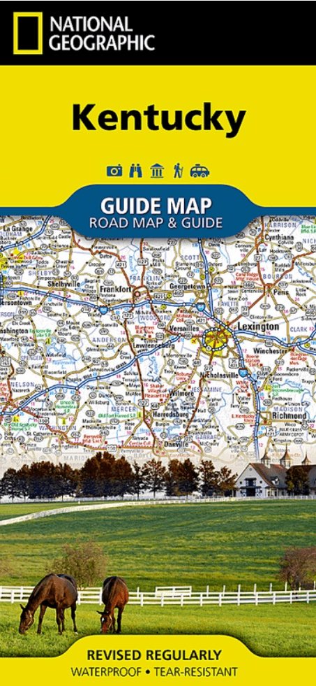
Landkaart Wegenkaart Kentucky State guide map - Nat Geo
Covington- Cincinnati- Owensboro- Bowling Green- Frankfort....
Korte omschrijving
Wegenkaart Kentucky State guide map - Nat Geo Productomschrijving: Expertly researched and loaded with helpful information, National Geographic's Kentucky Guide Map is a must-have for travel...

Specificaties
- Uitgever: National Geographic
- ISBN-13: 9781566957861
- HOOFDCATEGORIEËN: Wegenkaart - Landkaart
- Activiteiten: Street/Road maps & city plans
- Auteur: National Geographic
- Regio: Kentucky, USA
- Land: Verenigde Staten van Amerika (USA)
- TOPO's & Stafkaarten: Topografisch wandelen
- Schaal: 1:1140000
- Taal: Engels
- Reeks/Serie: NAT GEO Adventure travel maps, Nat Geo, State Guide Maps
- De Engelse Graafschappen: Kent
Volledige omschrijving
Wegenkaart Kentucky State guide map - Nat Geo
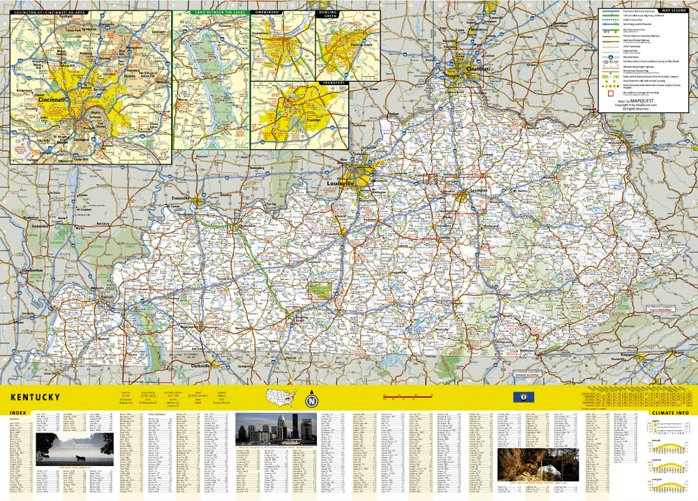
Productomschrijving: Expertly researched and loaded with helpful information, National Geographic's Kentucky Guide Map is a must-have for travelers exploring "The Bluegrass State." Cities and towns are easy to find with the map's helpful index. Highways, roadways, toll roads, scenic routes, and other roads are clearly designated. Distances in miles are noted on major highways so travelers can easily plan their best route. In addition to a state map, inset maps provide detail on the Covington, KY-Cincinnati, OH Area, Land Between the Lakes, Owensboro, Bowling Green, Frankfort, Louisville and Lexington.
Additional information and maps feature the recreation activities available in Mammoth Cave National Park and the attractions along the Kentucky Heartland scenic drive which stretches from Lexington to Harrodsburg. National and state parks, public campsites, visitor information centers, airports, ski areas, hospitals, and more are noted. A handy chart of park service sites and climate information are also included.
Every State Guide Map is printed on durable synthetic paper, making them waterproof, tear-resistant and tough — capable of withstanding the rigors of any kind of travel.
Artikelen uit dezelfde regio
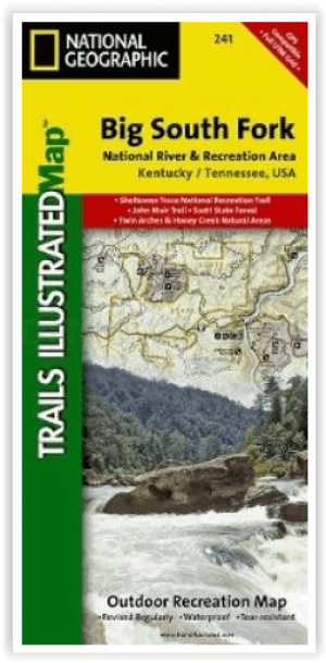
Wandelkaart 241 Big South Fork National Recreation Area - Nat Geo • 9781566953542
Big South Fork National Recreation Area - Nat Geo Productomschrijving: National Geographic's Trails Illustrated kaart van Big South Fork National River and Recreation Area is een perfecte kaart voor alle recreatieve activiteiten in dit prachtige gebied, of het nu gaat om wandelen, fietsen, verkennen, raften, klimmen, kamperen of paardrijden. Deze deskundig onderzochte kaart werd gemaakt in…

Wandelkaart 793 Clinch Ranger District USA - Nat Geo • 9781566951500
Clinch Ranger District USA - Nat Geo Productomschrijving: National Geographic's Trails Illustrated kaart van Clinch Ranger District bestrijkt het zuidelijkste deel van Jefferson National Forest dat de grens tussen Virginia en Kentucky en aangrenzende recreatiegebieden doorkruist. Gemaakt in samenwerking met de U.S. Forest Service en anderen, deze deskundig onderzochte kaart is een uitgebre…

Wandelkaart 234 Mammoth Cave NP- Kentucky - Nat Geo • 9781566952361
TOPO Wandelkaart 234 - Mammoth Cave NP- Kentucky - Nat Geo Productomschrijving: Mammoth Cave National Park is een Amerikaans nationaal park in centraal Kentucky. Mammoth Cave beschikt over het grootste door de mens gemaakte cave systeem ter wereld. Engelse omschrijving: The world's longest known cave system, Mammoth Cave is a fascinating and beautiful labyrinth located below the equall…