

Wandelkaart 357 Kintyre North- Highlands-Schotland - OSI
De schitterende Schotse Highlands in al hun glorie
Korte omschrijving
Wandelkaarten Highlands, Schotland van Ordnance Survey. Ideaal voor tochten in Schotland.
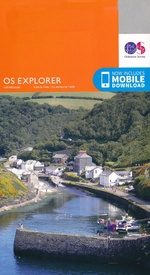
Wandelkaart Kintyre North - Highlands Schotland 357 / Kintyre North, Highlands, Schotland Kaart nummer 357 is een all purpose kaart vol gepakt met informatie om u het gebied te helpen le...

Specificaties
- Uitgever: Ordnance Survey
- ISBN-13: 9780319246085
- HOOFDCATEGORIEËN: Wandelkaart
- Activiteiten: Wandelen, Hiking & Trekking
- Regio: Highlands, Schotland
- Land: Schotland
- TOPO's & Stafkaarten: Topografisch wandelen
- Schaal: 1:25000
- Taal: Engels
- Reeks/Serie: Explorer Series OS
- Iconische Bergketens van Europa: De Schotse Highlands
Volledige omschrijving
Wandelkaart Kintyre North - Highlands Schotland
357 / Kintyre North, Highlands, Schotland
Kaart nummer 357 is een all purpose kaart vol gepakt met informatie om u het gebied te helpen leren kennen. De 204 Landranger-kaarten bestrijken het land. Elke kaart heeft een oppervlakte van 40 km door 40 km (25 mijl door 25 mijl) en zoals andere kaarten van Ordnance Survey, National Grid-vierkanten worden verstrekt zodat elke functie een unieke referentienummer kan worden gegeven.
These highly detailed maps show all the administrative boundaries, settlements as small as isolated farms, the road network down to unfenced roads and country tracks, and field boundaries (hedges and drystone walls) which make navigation across the countryside much easier. Steep gradients on roads are indicated. Various landmarks, e.g. powerlines, archaeological sites, windmills, churches and lighthouses are shown and additional graphics indicate natural terrain features such as cliffs, scree, mud and vegetation variations.
The contour interval is 5 metres in the lower parts of the country and 10 metres in the uplands, and spot heights are marked. Each map covers an area of 30 x 20km (i.e. approx. 19 x 12 miles), with some double-sided maps covering more, as indicated in the individual descriptions. The maps are fully GPS compatible, with the National Grid shown at 1km intervals and latitude and longitude indicated by margin ticks at 1'.
Locatie op kaart
Overzichtskaarten

OSI Explorer & Explorer Active - Zuid West Schotland - Loch Lomond
OSI Explorer & Explorer Active - Zuid West Schotland - Loch Lomond

Producten op de overzichtskaart
Klik op een product om naar de detailpagina te gaan.
- Wandelkaart 326 Ayr & Troon- South Ayrshire - OSI
- Wandelkaart 327 Cumnock & Dalmellington - OSI
- Wandelkaart 333 Kilmarnock & Irvine- East Ayrshire - OSI
- Wandelkaart 341 Greenock- Largs & Millport - OSI
- Wandelkaart 342 Glasgow- Schotland - OSI
- Wandelkaart 352 Islay South- Argyl & Bute- Schotland - OSI
- Wandelkaart 353 Islay North- Argule & Bute Schotland - OSI
- Wandelkaart 354 Colonsay & Oronsay- Argyl & Bute - OSI
- Wandelkaart 355 Jura & Scarba- Inner Hibrids - OSI
- Wandelkaart 356 Kintyre South- Highlands-Schotland - OSI
- Wandelkaart 357 Kintyre North- Highlands-Schotland - OSI
- Wandelkaart 358 Lochgilphead & Knapdale North - OSI
- Wandelkaart 359 Oban- Kerrera & Loch Melfort - OSI
- Wandelkaart 360 Loch Awe & Inveraray- Argyl Schotland- OSI
- Wandelkaart 361 Isle of Arran - OSI
- Wandelkaart 362 Cowal West & Isle of Bute - OSI
- Wandelkaart 373 Iona- Staffa & Ross of Mull - OSI
- Wandelkaart 375 Isle of Mull East- Argyl- Schotland - OSI
- Wandelkaart 377 Loch Etive & Glen Orchy- Schotland- OSI
- Wandelkaart OL37 Cowal East- Dunoon & Iverary - OS
- Wandelkaart OL38 Loch Lomond South & Dumbarton - OSI
- Wandelkaart OL39 Loch Lomond North & Tyndrum - OS
- Wandelkaart OL46 Trossachs NP, Callander & Aberfoyle - OS
- Wandelkaart OL48 Ben Lawers, Glen Lyon & Loch Tay - OS
Artikelen uit dezelfde regio
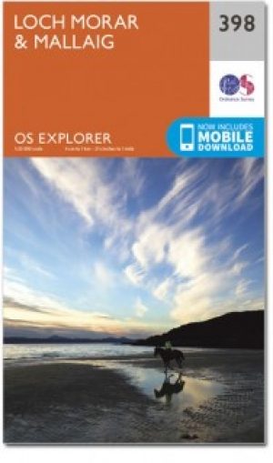
Wandelkaart 398 Loch Morar & Mallaig Schotland - OSI • 9780319472583
Wandelkaart Loch Morar & Mallaig - Highlands Schotland Productbeschrijving: Het gebied rondom Loch Morar en het haven dorp Mallaig zijn wild, mooi en exteem. De A830 linkt Mallaig Glenfinnan met Fort William, maar afgezien daarvan zult u op ongemarkeerde land en ongemarkeerd paden wandelen - een goede kaart en navigatie vaardigheden zijn een must. Loch Morrar is het diepste zoetwater l…

Wandelkaart 446 Durness & Cape Wrath Schotland - OSI • 9780319246894
Wandelkaart Durness & Cape Wrath - Highlands Schotland Productbeschrijving: Kinlochbervie & Rhiconich. 446 / Durness & Cape Wrath, Highlands, Schotland - Kaart nummer 446 omvat Durness en Cape Wrath. Hoogtepunten zijn North-West Sutherland, Loch Eriboll, Kinlochbervie, Kyle van Durness en Sandwood Loch. Omvat ook Rhiconich, Loch nb Gainmhich en Loch Meidaidh. De OS Explorer kaart voor…
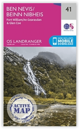

Wandelkaart L041 Ben Nevis- Fort William & Glen Coe - OSI • 9780319475836
Wandelkaart Ben Nevis- Fort William & Glen Coe - Schotland Productomschrijving: Waterbestendige kaart nummer 41 in de OS Landranger-kaartenserie is de ideale kaart om te gebruiken bij het plannen van een reis naar de regio Ben Nevis, Fort William en Glen Coe. Het gebied staat bekend om zijn spectaculaire uitzichten en uitdagende wandelingen. Het is een geweldige plek om er even helemaal tu…
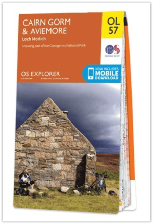
Wandelkaart OL57 Cairn Gorm, Aviemore & Loch Morlich - OS • 9780319242964
Wandelkaart Cairn Gorm, Aviemore & Loch Morlich - OS Productomschrijving: Een topografische wandelkaart van een deel van de Cairngorms National park Omvat: Cairn Gorm, Aviemore- Loch Morlich & Loch Morlich, Glenmore Forest Park National Scenic, Cairngorms Mountains, Deeside & Lochnagar, The Badenoch Way & The Speyside Way + 16 Munro's. Ontdek de OL-serie van Ordnance Survey: De O…
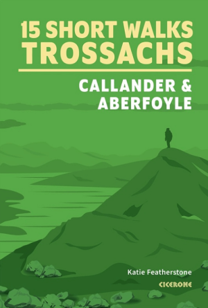
Wandelgids Trossachs NP, Callander and Aberfoyle - Cicerone • 9781786312341
Wandelgids Trossachs NP Schotland, Callander and Aberfoyle Productomschrijving: Would you like to explore the best of Callander, Aberfoyle and the Trossachs National park? This guidebook covers 15 of the best short walks in the area (between 3 and 14km), including Bracklinn Falls, Callander Crags, Loch Katrine, Ben A'an, Primrose Hill and Fairy Knowe. Why choose this guidebook? - …