

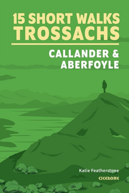
Wandelgids Trossachs NP, Callander and Aberfoyle - Cicerone
15 Short Walks in Bracklinn Falls- Callander Crags- Loch Katrine
Korte omschrijving
Wandelgidsen Highlands, Schotland van CICERONE Press. Ideaal voor tochten in Schotland.
Wandelgids Trossachs NP Schotland, Callander and Aberfoyle Productomschrijving: Would you like to explore the best of Callander, Aberfoyle and the Trossachs National park? This guidebook co...

Specificaties
- Uitgever: CICERONE Press
- ISBN-13: 9781786312341
- HOOFDCATEGORIEËN: Wandelgids
- Activiteiten: Wandelen, Hiking & Trekking
- Auteur: Katie Featherstone
- Regio: Highlands, Schotland
- Land: Schotland
- Nationale parken: Trossachs NP, Schotland
- Editie: 1
- Taal: Engels
- Iconische Bergketens van Europa: De Schotse Highlands
Volledige omschrijving
Wandelgids Trossachs NP Schotland, Callander and Aberfoyle
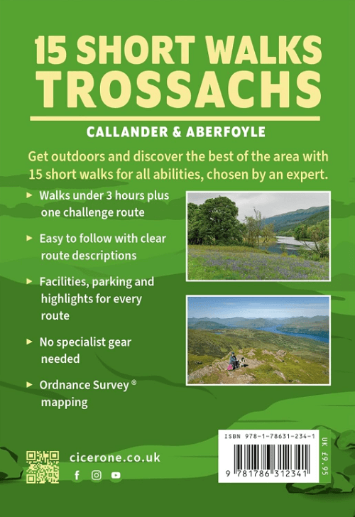
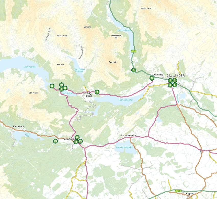
Productomschrijving: Would you like to explore the best of Callander, Aberfoyle and the Trossachs National park? This guidebook covers 15 of the best short walks in the area (between 3 and 14km), including Bracklinn Falls, Callander Crags, Loch Katrine, Ben A'an, Primrose Hill and Fairy Knowe.
Why choose this guidebook?
- Walks under three hours, plus one challenge route
- Easy to follow with clear route descriptions
- Facilities, parking and highlights for every route
- No specialist gear needed, walk all year round
- Ordnance Survey mapping
- Cicerone’s Short Walks guidebooks contain everything you need to get outdoors and discover the best of an area.
The routes are perfect if you’re new to walking or looking for something you can enjoy with the whole family. Let the adventures begin!
Locatie op kaart
Artikelen uit dezelfde regio
Wandelkaart 416 Inverness & Loch Ness - OSI • 9780319246511
Wandelkaart Inverness- Loch Ness & Culloden - Highlands Productbeschrijving: 416 / Inverness, Loch Ness & Culloden, Highlands, Schotland - Deze twee-zijdige Explorer kaart 416 omvat de lengte van Loch Ness en de Highland hoofdstad Inverness. De Great Glen way wandelpad op de oevers van de loch, om te zien of u het legendarisch monster kan spotten. De OS Explorer kaart voor Inverness, L…
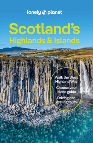
Reisgids Scotland's Highlands & Islands - Lonely Planet • 9781837583607
Reisgids Scotland's Highlands & Islands - Lonely Planet Productomschrijving: The hills and glens and wild coastline of Scotland’s Highlands and islands offer the ultimate escape – one of the last corners of Europe where you can discover genuine solitude. Lonely Planet will get you to the heart of Scotland’s Highlands & Islands, with amazing travel experiences and the best planning advice: …
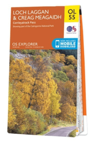
Wandelkaart OL55 Loch Laggan, Creag Meagaidh & Corrieyairack - OS • 9780319242940
Wandelkaart Loch Laggan, Creag Meagaidh & Corrieyairack - OS Productomschrijving: Loch Laggan, Creag Meagaidh & Corrieyairack, parts of the Cairngorms National Park, Omvat: Loch Laggan, Creag Meagaidh & Corrieyairack, Corrieyairack Pass, parts of the Cairngorms National Park & The Great Glenn Way. Ontdek de OL-serie van Ordnance Survey: De OL-serie (Outdoor Leisure) van Ordnance …
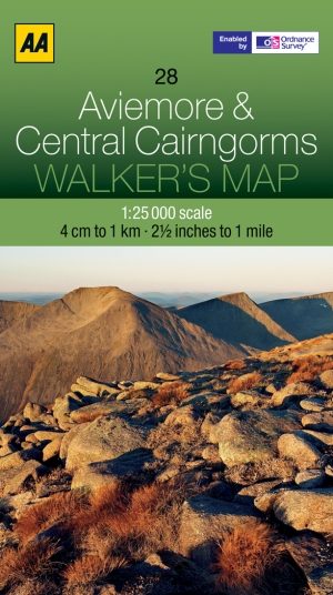
Wandelkaart 28 Central Aviemore & Cairngorms - AA • 9780749573072
Wandelkaart 28 - Central Aviemore & Cairngorms - AA Productomschrijving: AA, in samenwerking met Ordinance Survey, heeft een reeks kaarten ontwikkeld die zich op populaire toeristische bestemmingen van de UK richten, zodat meerdere OS-kaarten niet vereist zijn. Deze kaart richt zich op Aviemore en de centrale Cairngorms uit Crathie in het oosten aan Kincraig in het westen, en uit Braemar i…
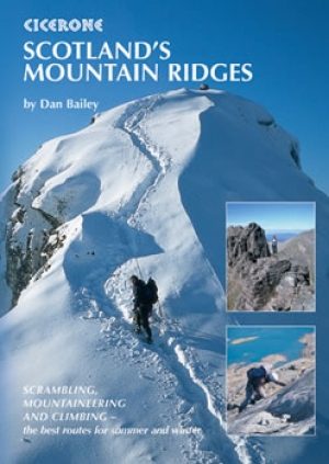
Klimgids Schotland's Mountain Ridges - Cicerone • 9781852844691
Klimgids - Schotland's Mountain Ridges - Cicerone Productomschrijving: Een gids die betrekking heeft op de beste zomerscrambles, rotsklimmen en winterbeklimmingen op Schotlands ruggen, van de externe Cairngorms naar de pracht van de Cuillin. Met inspirerende foto's, is de gids zowel een viering van het landschap en een praktische routegids. Ruggen zijn episch. Sierlijke gesneden loopbrugge…